
Why Traditional UHF Data Links Fail in the Field
Conventional external radio systems were engineered for controlled environments — not for the punishing realities of mountain terrain, sprawling infrastructure projects, or dense urban construction corridors. Here is where they consistently break down.
Terrain-Induced Signal Attenuation
UHF signals travelling through mountainous terrain suffer severe multipath interference and diffraction loss. Ridge lines, rock faces, and dense vegetation absorb and scatter radio energy, slashing effective range from a theoretical 10 km to under 3 km in practice. Field crews waste hours relocating base stations just to restore a fix.
Power & Frequency Band Limitations
Most external radios are capped at 0.5 W–1 W to comply with regional radio regulations, and operate on congested frequency bands shared with other site equipment. The result is constant co-channel interference, repeated dropouts, and initialization cycles that erode productivity on large-scale civil and mining sites.
Frequent Re-Initialization & Downtime
Every signal interruption on a conventional single-engine RTK system forces a full cold re-initialization — typically 30 seconds to several minutes. On a 500-hectare site where the rover travels 8–12 km from the base, these interruptions can consume 20–30 % of productive survey time, directly inflating project costs.
"Base Stays, Rover Roams" Operational Deadlock
Large infrastructure projects — highways, pipelines, open-pit mines — demand that a single base station serves a rover operating kilometres away. Traditional setups force either multiple base relocations or the deployment of expensive repeater chains, adding logistical complexity and failure points.
External Radio Fragility & Cable Clutter
Bolt-on external radios introduce additional connectors, coaxial cables, and mounting hardware — all potential failure points in dusty, wet, or vibration-heavy environments. A single connector corrosion event can render the entire data link inoperable mid-survey.
No Fallback When Cellular Coverage Fails
Remote sites often sit in cellular dead zones. Systems relying solely on NTRIP/4G corrections have no fallback when network coverage disappears. Without a robust UHF backbone, the rover simply loses corrections and stops delivering centimetre-level accuracy.
Engineering the 15 km Solution: INNO7 Hardware Deep-Dive
The INNO7 was architected from the ground up to eliminate every pain point described above. Every component choice — from the radio chipset to the antenna geometry — reflects real-world field intelligence gathered across hundreds of challenging project sites.
Built-In 3W UHF High-Power Radio
Unlike competitors that bundle a 500 mW external module, the INNO7 integrates a 3-watt UHF transceiver directly into the receiver housing. This six-fold power advantage translates to dramatically improved link budget, allowing the signal to punch through vegetation, over ridge lines, and across open-pit excavations that would defeat lower-power systems.
The internal antenna is co-designed with the radio front-end to minimise insertion loss, ensuring every milliwatt of transmit power reaches the air — not the cable.
⚡ 3W Integrated · Zero Cable LossFarlink Protocol: 15 km Typical Range
Farlink is a proprietary long-range data-link protocol developed specifically for GNSS correction transmission. It employs adaptive modulation and forward error correction (FEC) to maintain data integrity even at the edge of radio range, where conventional protocols would simply drop packets and trigger re-initialization.
In open terrain, the INNO7 paired with a Farlink-enabled base achieves a typical working range of 15 km — verified across mountain survey corridors, coastal reclamation projects, and open-cut mining benches. In complex terrain, real-world performance consistently exceeds 8–10 km, where competing systems top out at 3–5 km.
🛰️ 15 km Typical · Adaptive FECFull-Band 5G Module: Network Corrections Anywhere
The INNO7's integrated full-band 5G module supports Sub-6 GHz bands across major global carriers, providing NTRIP correction access wherever cellular infrastructure exists. On projects where the rover ventures beyond UHF range — or where a cellular-first workflow is preferred — the 5G module delivers low-latency corrections with no additional hardware.
Critically, the INNO7 supports seamless UHF ↔ 5G handover. As the rover moves from a cellular dead zone into coverage, the system automatically switches correction sources without interrupting the RTK fix — solving the "base stays, rover roams" deadlock that plagues large-site operations.
📶 5G Full-Band · Auto Handover556-Channel GNSS Engine
The INNO7 tracks all current and planned GNSS constellations — GPS L1/L2/L5, GLONASS, BeiDou B1/B2/B3, Galileo E1/E5a/E5b, QZSS, and SBAS — across 556 parallel channels. More satellite observations mean faster ambiguity resolution, more robust fixes under canopy, and better performance in urban canyons where constellation diversity is the only defence against multipath.
🔬 556CH · All-ConstellationIP67 Rugged Enclosure
Field instruments live hard. The INNO7's IP67-rated enclosure withstands total dust ingress protection and immersion in up to 1 metre of water for 30 minutes. The shock-resistant housing survives the accidental drops and vibration loads common on active construction sites, while the sealed connector design eliminates the corrosion failures that plague external-radio setups.
🛡️ IP67 · Drop-TestedExtended Battery & Hot-Swap Design
Long-range surveys demand long operating hours. The INNO7 delivers up to 10 hours of continuous operation on a single charge, with a hot-swap battery design that allows field replacement without powering down — critical when a re-initialization in remote terrain could cost 30 minutes of productivity.
🔋 10H Runtime · Hot-SwapDual-Engine RTK & RTK XTRA: Never Lose Your Fix Again
Signal blockage is inevitable on real projects — a passing truck, a tunnel portal, a dense tree canopy. The INNO7's dual-engine architecture and RTK XTRA compensation technology ensure that momentary interruptions never become costly re-initialization events.
Dual-Engine Cross-Validation
The INNO7 runs two independent RTK processing engines simultaneously. Each engine independently resolves carrier-phase ambiguities and computes a position solution. The outputs are cross-validated in real time — if one engine detects an anomaly (multipath spike, partial satellite loss), the other engine's solution is used seamlessly, preventing false fixes and maintaining centimetre-level accuracy.
RTK XTRA: Dead-Reckoning Compensation
When signal blockage causes a brief correction outage — even for 10–30 seconds — RTK XTRA engages an inertial-aided dead-reckoning algorithm. Using the last known fix, satellite geometry trends, and motion modelling, the system extrapolates position with sub-decimetre accuracy during the outage window, eliminating the need for full cold re-initialization when the signal returns.
Rapid Re-Convergence on Signal Return
Because RTK XTRA maintains a warm ambiguity state during short outages, the INNO7 achieves hot re-convergence in under 5 seconds when corrections resume — compared to 30–90 seconds for conventional cold re-initialization. On a busy site with frequent obstructions, this difference alone can save 30+ minutes per survey day.
INNO7 vs. Conventional RTK Systems: Head-to-Head
The numbers tell the story. See how the INNO7's integrated architecture outperforms bolt-on external radio solutions across every dimension that matters in the field.
| Feature | 🏆 INNO7 (Farlink + 5G) | ⚠️ Conventional External Radio RTK |
|---|---|---|
| 📡 Radio Type | Built-in 3W UHF (integrated) | External 0.5W–1W bolt-on module |
| 🛰️ Typical Working Range | 15 km (open terrain) | 3–5 km (open terrain) |
| 🏔️ Mountain / Complex Terrain | 8–10 km | 1–3 km |
| 📶 5G / Cellular Corrections | ✓ Full-Band 5G Built-In | ✗ External modem required |
| 🔄 Dual RTK Engine | ✓ Cross-validation active | ✗ Single engine only |
| ⚡ RTK XTRA Compensation | ✓ Inertial-aided dead reckoning | ✗ Full cold re-init required |
| ⏱️ Re-Convergence After Outage | < 5 seconds | 30–90 seconds |
| 🔄 UHF ↔ 5G Auto Handover | ✓ Seamless switching | ✗ Manual reconfiguration |
| 🛡️ Ingress Protection | IP67 | IP54–IP65 (varies) |
| 🔋 Battery Life | 10 hours (hot-swap) | 6–8 hours (fixed) |
| 📐 Horizontal Accuracy | 8 mm + 1 ppm | 10–15 mm + 1 ppm |
| 🔬 GNSS Channels | 556 channels, all-constellation | 240–400 channels |
Where the 15 km Range Makes a Real Difference
The INNO7's long-range data-link capability is not a laboratory specification — it is engineered for the specific operational scenarios where conventional systems routinely fail.
Mountain & Highland Surveys
Topographic mapping, route alignment, and hydropower reservoir surveys in mountainous terrain demand a base station that can serve rovers operating across multiple valley systems. The INNO7's 15 km Farlink range eliminates the need for intermediate repeater stations on most mountain corridor projects.
Open-Pit Mining & Quarries
Bench surveying, blast-hole layout, and volume calculations in open-cut operations require a rover to traverse the full pit extent from a single fixed base. With 15 km UHF range, the INNO7 covers even the largest open-pit operations without base relocation — saving hours of setup time per shift.
Highway & Railway Corridor Projects
Linear infrastructure projects stretch tens of kilometres. The INNO7 allows a single base station to serve the full active construction front, with the rover freely moving along the alignment. When the rover exceeds UHF range, the 5G module automatically takes over corrections — no operator intervention required.
Coastal Reclamation & Port Construction
Marine and coastal environments offer excellent radio propagation but demand reliable correction delivery to floating plant and dredgers operating kilometres offshore. The INNO7's 3W radio and Farlink protocol deliver stable corrections to equipment operating at the maximum site extent.
Large Urban Construction Sites
High-rise construction zones, metro tunnelling projects, and urban renewal precincts present constant signal obstruction from cranes, buildings, and equipment. The dual-engine architecture and RTK XTRA ensure that the INNO7 maintains a fix even as the rover moves through the most challenging urban signal environments.
Agricultural & Land Administration Surveys
Rural cadastral surveys and precision agriculture applications often operate in cellular dead zones where NTRIP corrections are unavailable. The INNO7's 15 km UHF range allows a single base to serve an entire township boundary survey or large farm mapping project from one setup.
Professional Measurement Equipment — Proven in the Field
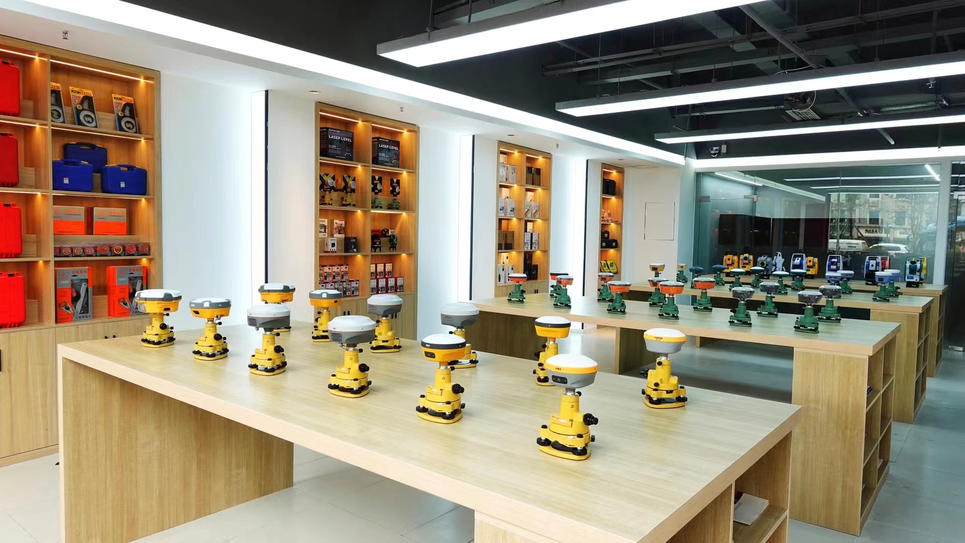
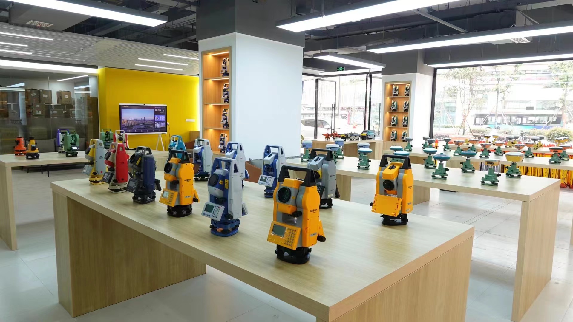
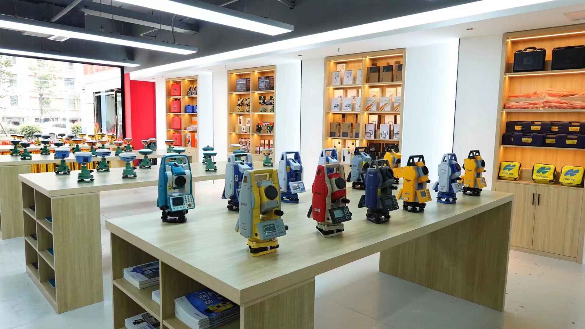
Chengdu Enbao Trading Co., Ltd. supplies a comprehensive range of precision measurement instruments from leading domestic and international brands, backed by full technical support and after-sales service.
Comprehensive Support — From Purchase to Project Completion
We do not just supply instruments — we provide the technical ecosystem that ensures every piece of equipment performs to its full potential on your project.
Comprehensive Surveying & Mapping Technical Services
Our team of certified surveying and mapping professionals provides instrument maintenance, precision calibration, short-term leasing, trade-in programmes, technical consulting, software integration and development, complete system solution design, and direct undertaking of measurement projects. Whether you need a single instrument serviced or a turnkey survey solution designed, we have the expertise to deliver.
2-Year Warranty & On-Site Training Support
Every instrument supplied by Chengdu Enbao Trading Co., Ltd. carries a two-year comprehensive warranty, a seven-day no-questions-asked return and exchange policy, and complimentary on-site training and technical support. Our field engineers ensure your team can operate every feature of their new equipment from day one — maximising productivity and minimising the learning curve on live projects.
Long-Range Base Station Solution Consulting
Planning a project that demands 15 km RTK coverage? Our application engineers will assess your site geometry, terrain profile, and workflow requirements to design the optimal base station deployment strategy — including Farlink UHF configuration, 5G correction network integration, and RTK XTRA parameter tuning for your specific operating environment.
Professional Measurement Equipment Supplier
Chengdu Enbao Trading Co., Ltd.
Located in Jinniu District, Chengdu City, Sichuan Province, Chengdu Enbao Trading Co., Ltd. is a professional measurement equipment supplier that integrates the sales, service, and technical support of surveying instruments. Since its establishment, the company has adhered to the business philosophy of "professionalism, precision, efficiency, and service", committed to providing comprehensive and advanced measurement solutions for the surveying and mapping industry.
With registered capital of 5 million yuan and years of sustained growth, our sales team and technical engineers have built a reputation as a trusted partner for surveying professionals across China and internationally. We supply a wide product line covering total stations, RTK/GNSS systems, theodolites, levels, gyroscopes, depth sounders, laser rangefinders, 3D laser scanners, UAV systems, GIS satellite receivers, and non-destructive testing instruments.
Company Resilience & Sustained Growth
Through years of market evolution, our sales and technical teams have persevered to become a well-recognised name in surveying instrument supply both domestically and internationally. Our growth reflects the trust our customers place in our technical expertise and service commitment.
Diverse Product Range & Brand Partnerships
We hold authorised agency agreements with multiple leading domestic and international surveying instrument brands, and offer customised product configurations for total stations, RTK/GNSS receivers, levelling instruments, and surveying accessories — ensuring the right solution for every project requirement.
Innovation in Advanced Measurement Technology
Beyond conventional instruments, we are at the forefront of distributing high-end technologies including 3D laser scanning systems, UAV survey platforms, and next-generation GNSS receivers like the INNO7 — bringing the latest precision measurement innovations to surveying professionals across China.
🚀 Ready to Achieve 15 km RTK Range on Your Next Project?
Discover the full INNO7 technical specifications or speak with our application engineers about designing a long-range base station solution tailored to your specific project terrain and workflow requirements.