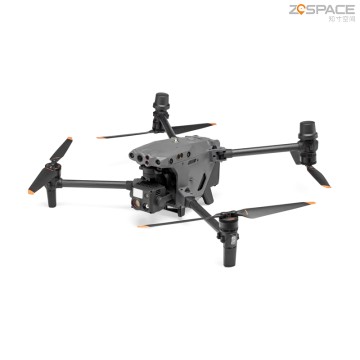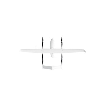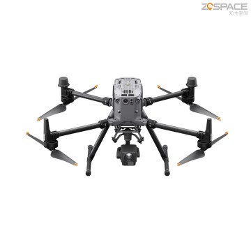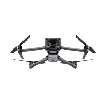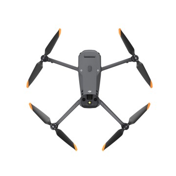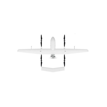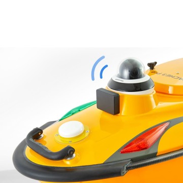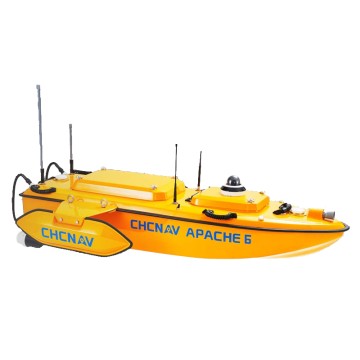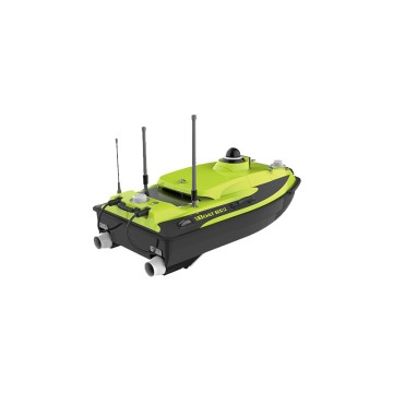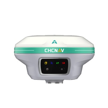

Aerial Survey Drone
Chengdu Zhicun Space Surveying Instrument Co., Ltd. proudly presents our cutting-edge Aerial Survey Drone, a revolutionary tool designed to elevate your surveying and mapping projects to new heights. Equipped with advanced Drone Gnss technology, our drones facilitate unparalleled precision in aerial mapping, allowing users to capture high-resolution imagery and data from even the most challenging terrains. We understand the diverse needs of our global clientele, and our Aerial Survey Drone is engineered to meet those demands with efficiency and remarkable accuracy. Whether you are in construction, agriculture, or environmental monitoring, our solutions empower professionals to make informed decisions grounded in reliable data