
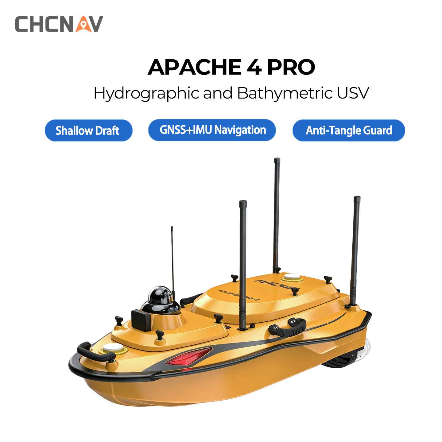
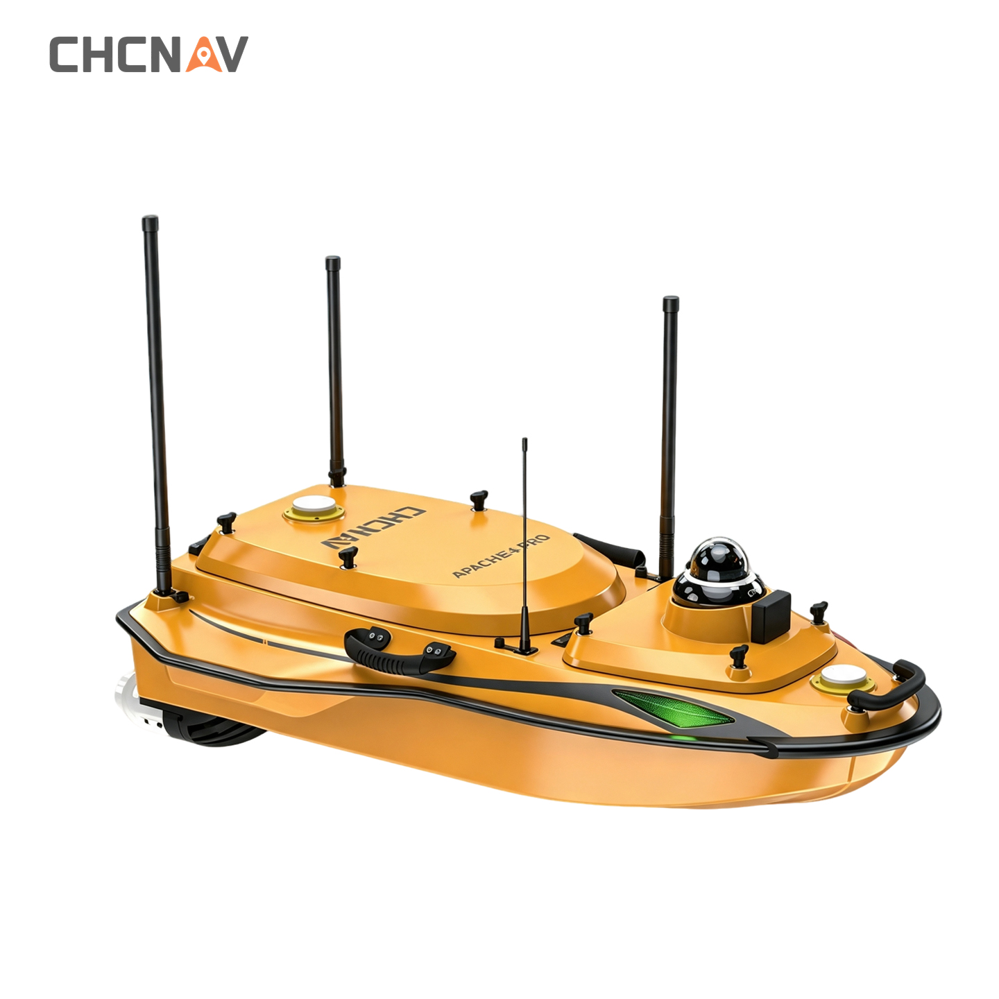
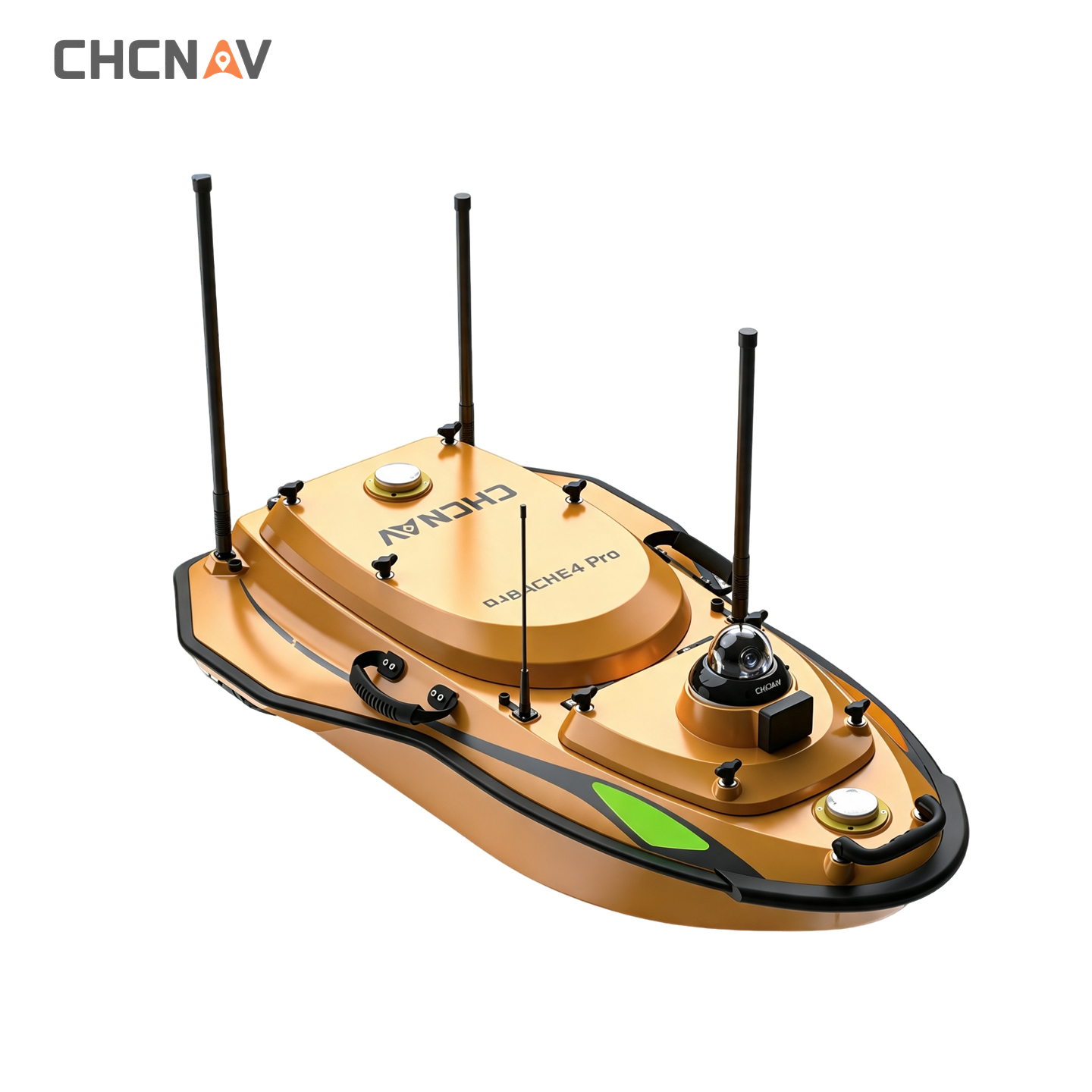
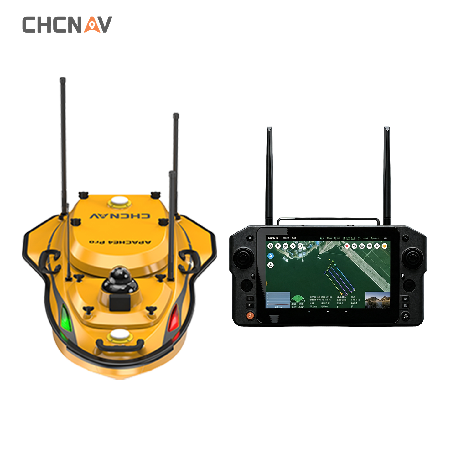
CHCNAV APACHE 4 PRO | Versatile Hydrographic Survey USV
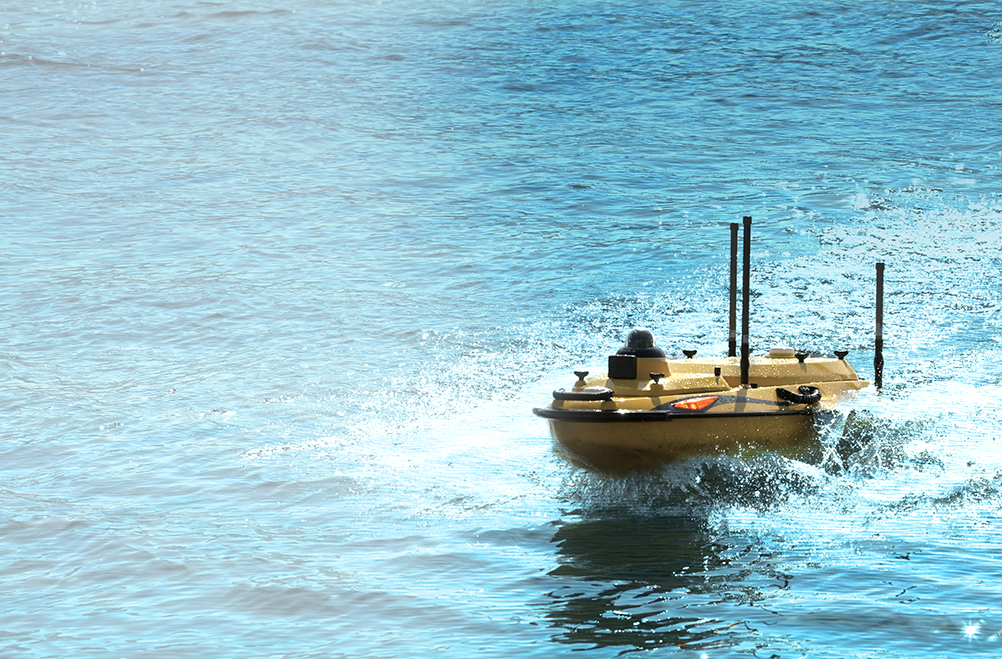
· 8.6cm Ultra-Shallow Draft Hull
· GNSS+IMU Continuous Positioning
· Smart Hover & Route Navigation
ABOUT US
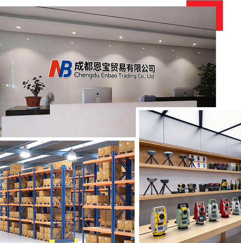
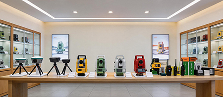
Chengdu Enbao Co., Ltd. has over 20 years of experience in the surveying instrument industry and is a professional domestic enterprise in this field. Equipped with advanced production, processing and testing facilities, we focus on the research, development and manufacture of the latest surveying instruments, including RTK receivers, total stations, electronic the odolites, levels and supporting accessories. We keep upgrading and optimizing our products based on mature traditional technologies to achieve superior performance and reliable quality. We sincerely offer premium products and thoughtful services to clients woridwide.
Company collaboration


PRODUCT DESCRIPTION
-
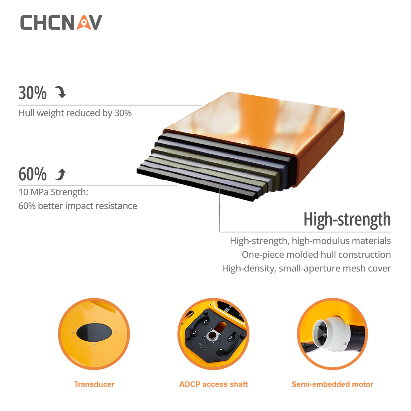
Rugged hull design
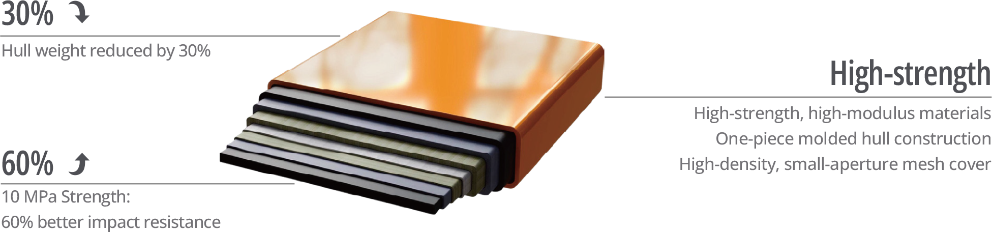
Constructed with high-strength, high-modulus carbon fiber and HPT one-piece molding technology, the hull achieves a strength of up to 10 MPa, significantly enhancing its collision resistance. The motors are equipped with mesh covers, reducing the risk of deformation upon impact.
-
Anti-Tangle Design
The APACHE 4 Pro features a titanium alloy mesh cover combined with hybrid water pressure conversion technology, significantly reducing the risk of entanglement by aquatic vegetation. If the motor does become entangled, the system triggers a software alarm to help ensure motor safety.
-
Multi-Sensor Support
With a 50 kg payload capacity and a 24 cm central access shaft, the APACHE 4 Pro supports ADCPs such as the CHCNAV RiverStar Series, M9, RiverPro, and RioGrande. It also accommodates the CHCNAV HQ-400 multibeam echo sounder, side-scan sonar, and water quality monitors end-to-end survey solutions.
-
Advanced Echosounder
The APACHE 4 Pro features high-sensitivity, anti-interference transducers combined with residual vibration elimination technology. Its advanced bathymetric algorithms support adaptive parameter adjustment, enabling reliable performance in complex underwater terrain and diverse water environments.
EasySailAll-in-One Android App

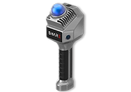
and acquisition in one unit, no PC needed, saving labor and boosting efficiency in field work.
• Remote controller supports
4G communication and data
radio, with real-time video
and data transmission.
Product Details
Anti-Entanglement Design
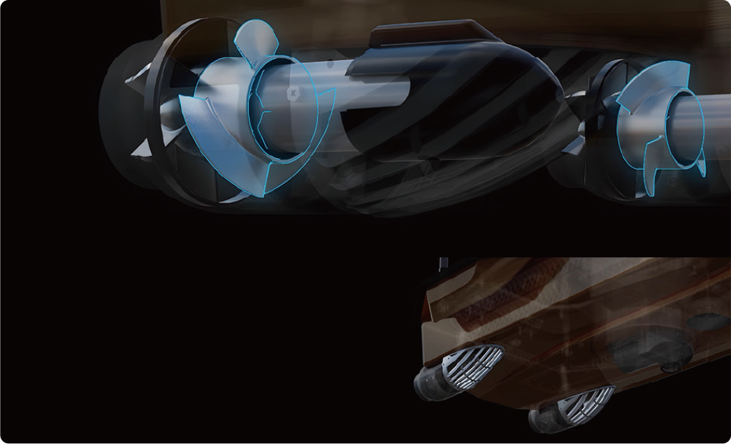
Titanium alloy mesh guard and hybrid water pressure conversion greatly reduce weed entanglement. Real-timeself-diagnosis alerts operators to obstructions, protecting the motor.
Semi-Embedded High-Speed Motor

Optional multibeam echo sounder and automatic SVP launching kits.
Adaptive water flow straight-line technology, compatible with mainstream ADCP for a wide range of measurement scenarios.
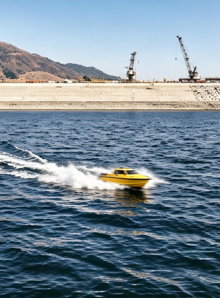



CHCNAV APACHE 4 PRO USV Specifications
High‑Performance Unmanned Surface Vehicle for Hydrographic Survey
PHYSICAL
| Hull Dimension (L × W × H) | 1200 mm × 750 mm × 400 mm |
| Material | High strength, high modulus carbon fiber |
| Process | HPT one‑piece molding |
| Weight (without instrument and batteries) | 36 kg |
| Maximum Payload | 50 kg |
| Anti‑Wave & Wind | 3rd wind level and 2nd wave level |
| Hull Design | Triple‑hull vessel |
| GNSS | Internal GNSS dual antenna |
| Waterproof | IP67 |
| Draft | 8.6 cm (unladen) |
| Indicator Light | Two‑color (positioning and differential signal) |
| Camera | 360° omnidirectional video |
| ADCP Mounting Hole | 240 mm |
| ADCP Compatibility | Compatible with RiverStar, M9, RiverPro, RiverRay, RioGrande and other ADCP |
| Available Instrumentation | ADCP, integrated compact multibeam echosounder, side scan sonar, water quality monitor, sampling bucket |
| Obstacle Avoidance Distance & Range | 0.2‑40 m (H:112°, V:14°) |
PROPULSION
| Propeller Type | Brushless DC |
| Direction Control | Veering without steering engine |
| Rated Motor Power | 800 W |
| Maximum Motor Speed | 7200 ±5% RPM |
| Motor Installation | Pluggable |
| Li‑ion Battery Capacity | 32.4 V, 23.1 Ah |
| Battery Endurance | 9.8 h @1.5 m/s (1 battery set, expandable) |
| Power Supply | Single/dual balanced battery support |
| Battery Replacement | Hot swap supported |
| Charging Time | 3 h |
| Maximum Speed | 6.5 m/s |
REMOTE CONTROL
| Dimension (L × W × H) | 346 mm × 196.5 mm × 89.4 mm |
| Display Screen | 10‑inch |
| Resolution Ratio | 1920 × 1200 |
| Internal Storage | RAM: 4 GB, Storage: 64 GB |
| Battery Endurance | 5 h |
| Communication Frequency | 2.4 GHz |
| Peripheral Interface | USB, Nano SIM, TF card (up to 128 GB), Type‑C |
COMMUNICATIONS
| Data Communication | Standard 4G and Remote control |
| Remote Control Range | 1 km (Remote); Unlimited (4G) |
| SIM Card Slot | Nano SIM |
| Reserved Interface | 2x RJ45 ports, 2x RS232 serial ports |
| Navigation Mode | Manual or Auto‑Pilot |
| Data Storage | Local (multi‑channel) & Remote |
SOFTWARE — EasySail
| Main Functions | Route planning and autonomous navigation. Total mileage statistics, remaining mileage reminder, multi‑angle video and online map display. Hull parameter control, physical & virtual joysticks, system self‑check at power‑on. Waveform overlay and attitude correction. Coordinate conversion, trajectory, water depth, waveform and hull parameter real‑time display. Online software/firmware updates. Export via USB/Type‑C. Single beam mode: Data collection and post‑processing. Hydrological mode: Real‑time flow test results output. Multibeam mode: Real‑time parameter adjustment. |
POSITIONING
| Satellite System | BDS B1I/B2I /B3I, GPS L1C/A/L2P(Y)/L2C/L5, Galileo E1/E5a/E5b, GLONASS L1/L2, QZSS L1/L2/L5 |
| Single Point Position (RMS) | Horizontal:1.5 m Vertical:2.5 m |
| DGNSS Positioning Accuracy | Horizontal:0.4 m +1 ppm Vertical:0.8 m +1 ppm |
| RTK Positioning Accuracy | Horizontal:±8 mm +1 ppm Vertical:±15 mm +1 ppm |
| Radio Protocols | Satel 3AS, CHC(1), TTi450, Transparent |
| Heading Accuracy | 0.1 ° @1 m baseline |
| Inertial Navigation Stability | 6 °/h (accuracy attenuation 1 m after 20 s) |
| IMU Update Rate | 200 Hz |
D270 Single Beam Echo Sounder
| Data Type | CHCGD(1), NMEA SDDPT/SDDBT, original waveform |
| Sounding Range | 0.1 m to 200 m |
| Sounding Accuracy | ±0.01 m ±0.1% × D (D is the depth of water) |
| Resolution | 3 mm |
| Maximum Sampling Rate | 30 Hz |
| Frequency | 200 kHz |
| Beam Angle | 6.2° ±1° |
| Sound Velocity Adjustment Range | 1400‑1700 m/s |
| Integrated Water Temperature Sensor | -55℃~+100℃, real‑time correction of the sound speed |
(1) CHCGD & CHC protocol is CHCNAV format.