




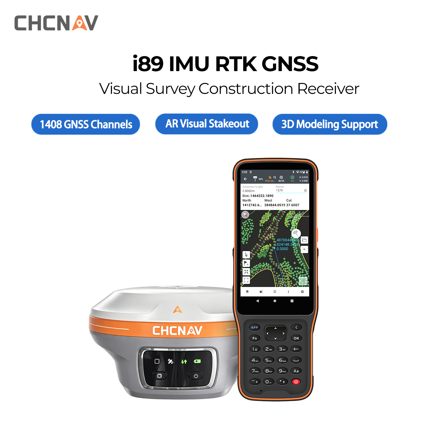
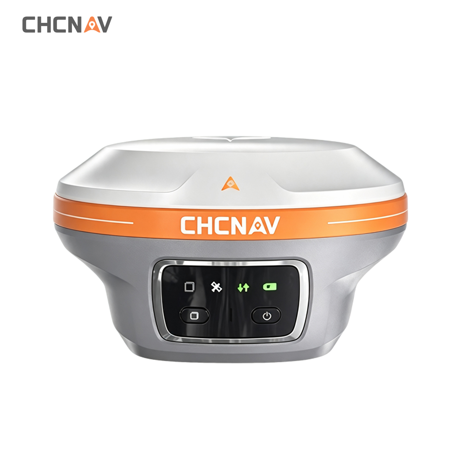
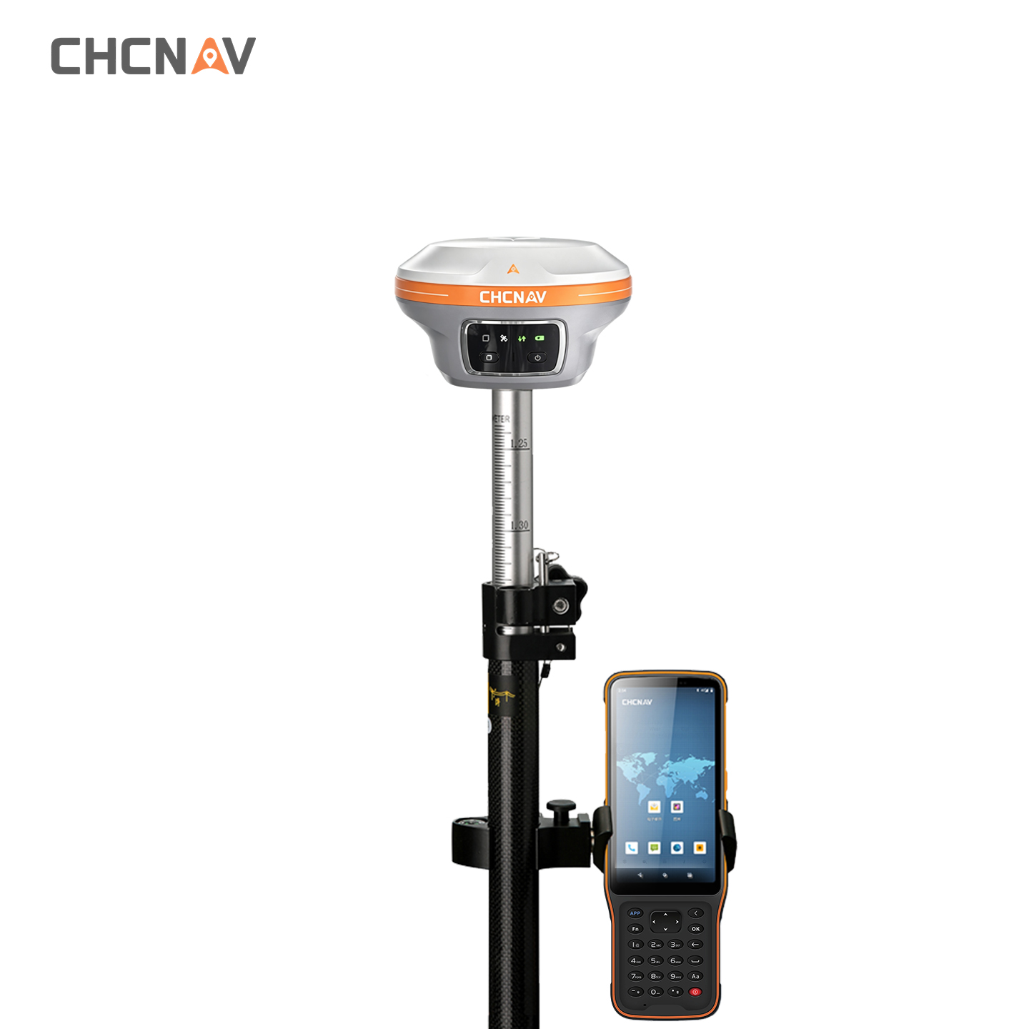
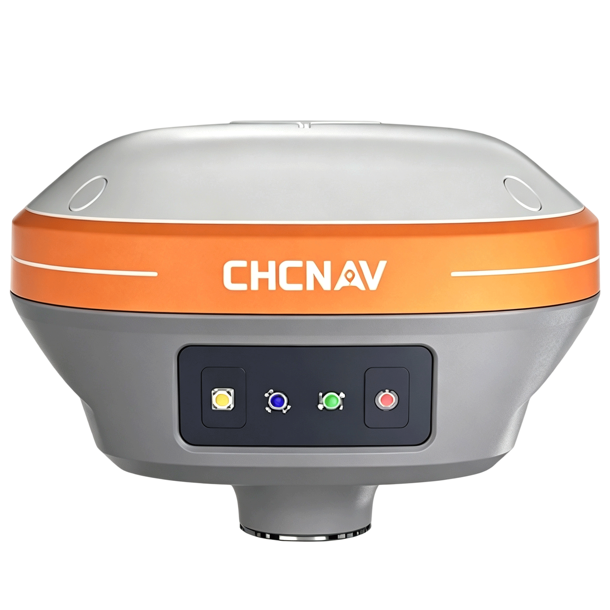
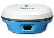
CHCNAV i89 Starlight IMU RTK GNSS Receiver for Video Survey
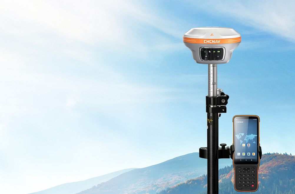
· Dual-camera AR stakeout
· 200Hz calibration-free IMU
· iStar2.0 Anti-interference

ABOUT US
Chengdu Enbao Co., Ltd. has over 20 years of experience in the surveying instrument industry and is a professional domestic enterprise in this field. Equipped with advanced production, processing and testing facilities, we focus on the research, development and manufacture of the latest surveying instruments, including RTK receivers, total stations, electronic the odolites, levels and supporting accessories. We keep upgrading and optimizing our products based on mature traditional technologies to achieve superior performance and reliable quality. We sincerely offer premium products and thoughtful services to clients woridwide.
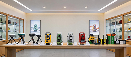
Company collaboration




PRODUCT DESCRIPTION
-
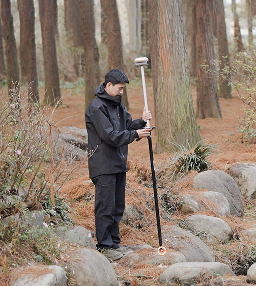
Visual Survey Excellence
Accurately measure previously inaccessible points with the i89's vision surveying capabilities. Panoramic capture mode with 85% overlap with integrated IMU data significantly improves point measurement performance.
-
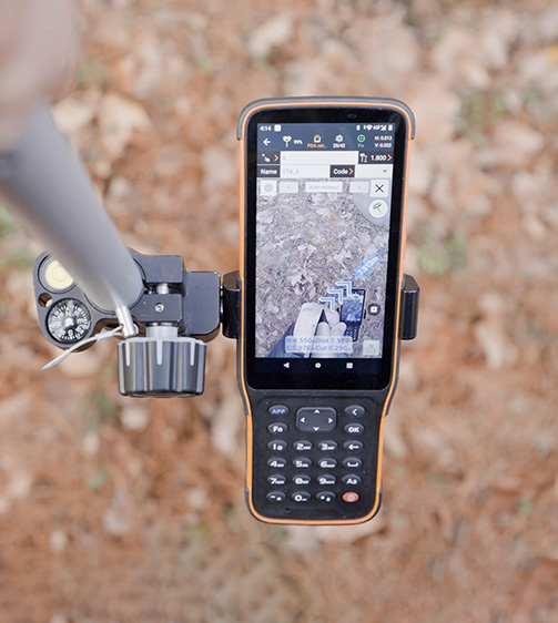
AR Visual Navigation and Stakeout
Simplify field operations with the i89's AR visual navigation and stakeout features that save up to 50% of the operator's time, even for less experienced users, with a reliability that is 10 times greater than standard gyroscope-based GNSS.
-
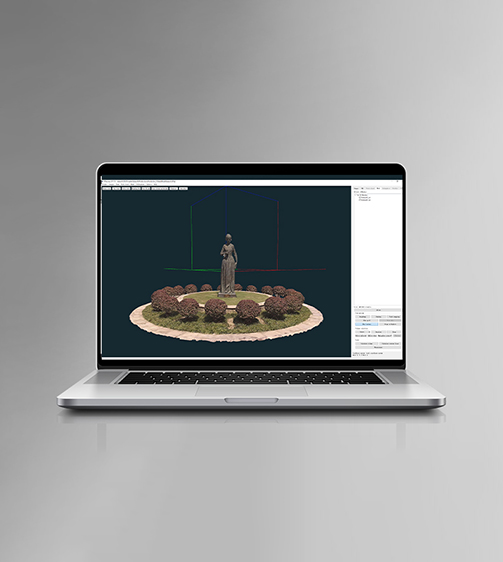
Efficient 3D Modeling
Seamlessly create 3D models using the i89's video photogrammetry algorithms. Compatibility with industry-standard 3D modelling software ensures flexibility and convenience.
-
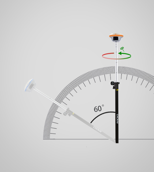
Auto-IMU Technology
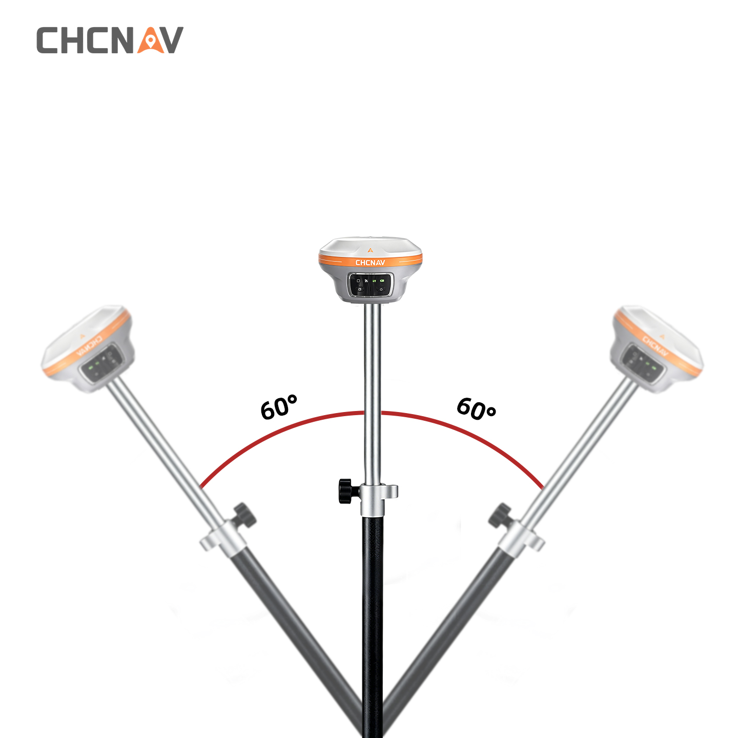
The i89's built-in 200Hz Auto-IMU removes the need for manual initialization, ensuring efficiency with every measurement. Its automatic pole tilt compensation maintains 3cm accuracy over a 60-degree tilt range.
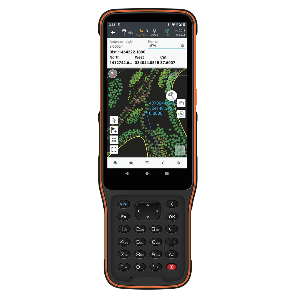
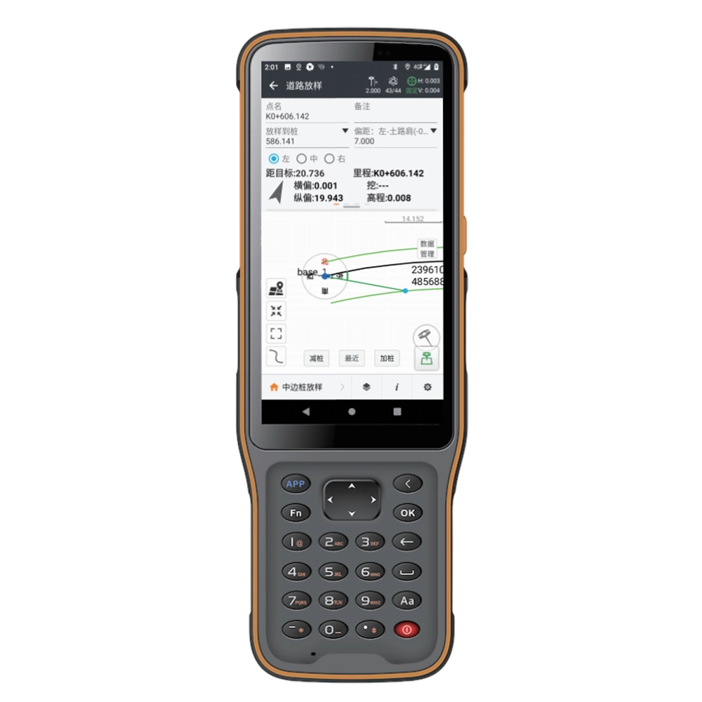
HCE600Android Data Collector


Bright Large Display
in direct sunlight.

Powerful Smooth Performance
CAD drawings without lag.

Light & Easy to Hold
body with side shortcut keys.

Built-in eSIM, 3 Years Free Data
use out of box.
Full Set of Accessories
-
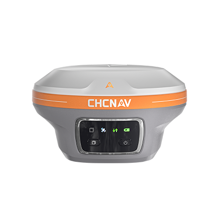
CHCNAV i89
-
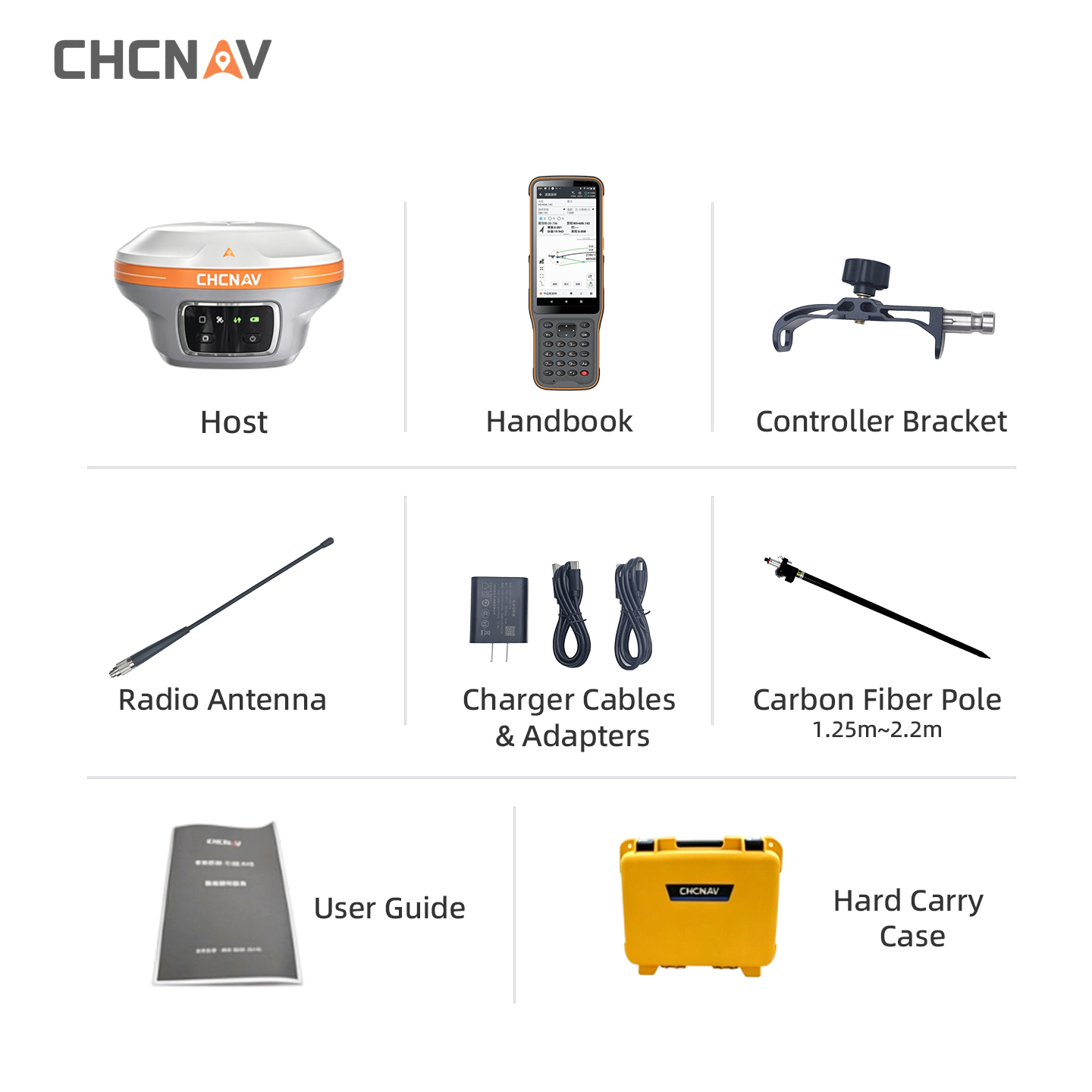
Handbook
-
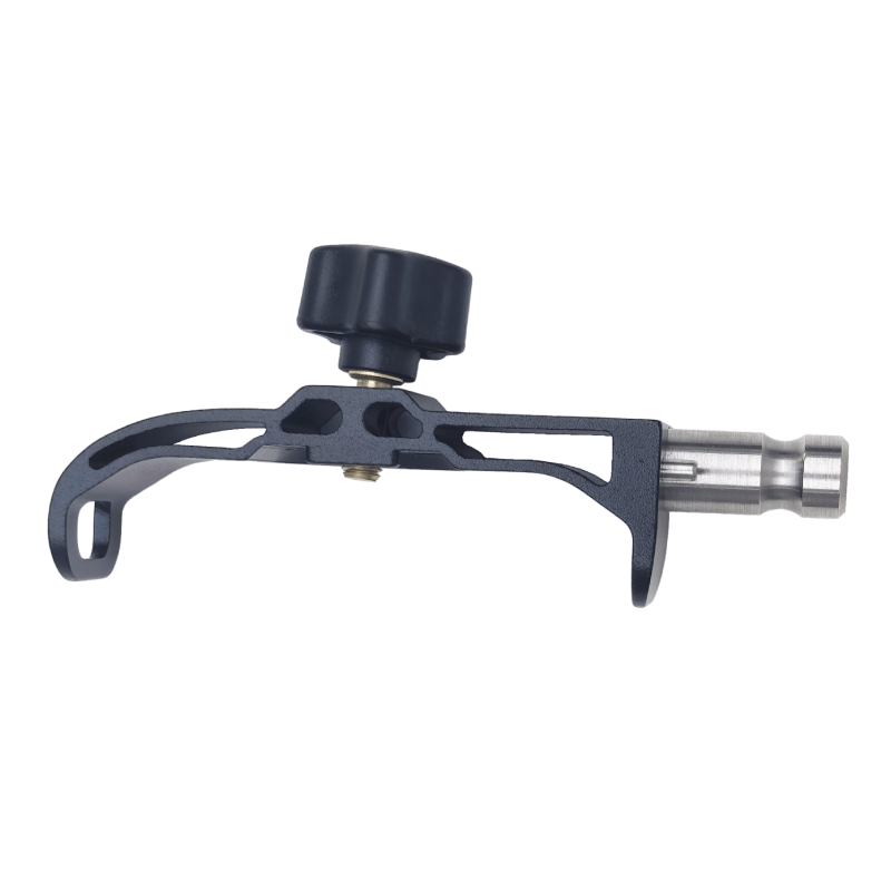
Handheld Bracket
-
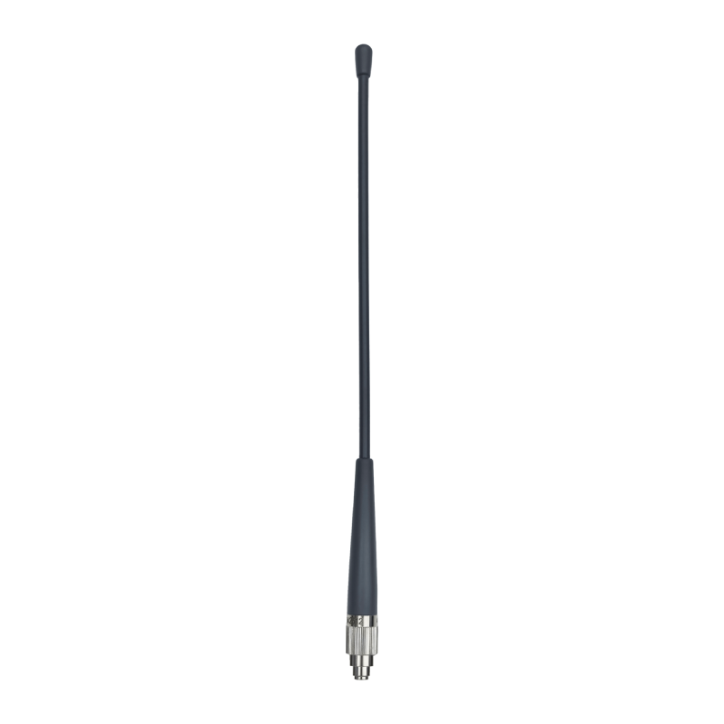
Radio Antenna
-
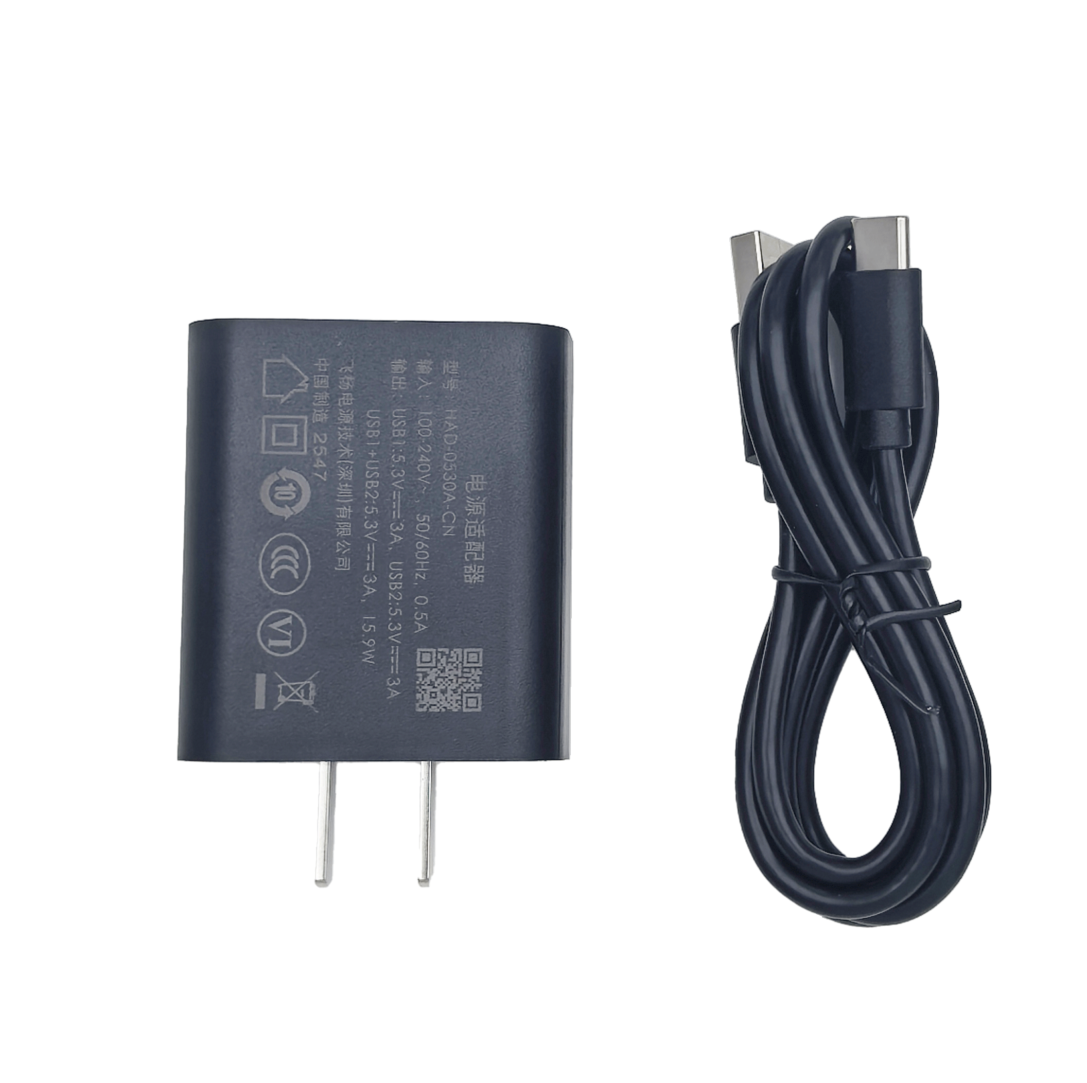
USB Charging Cable
-
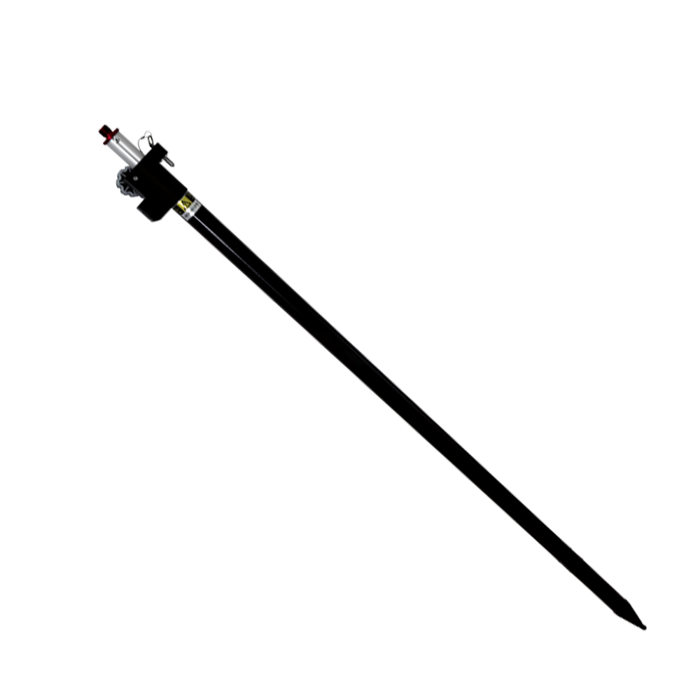
Carbon Fiber Pole
-
User Guide
-
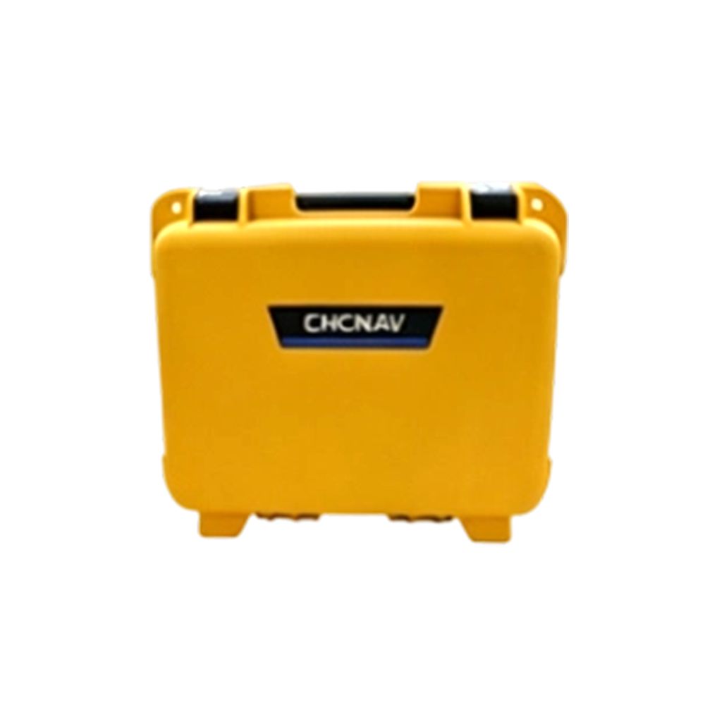
High-Strength Instrument Case







CHCNAV i89 GNSS RTK Receiver Specifications
iStar2.0 Multi‑constellation GNSS Receiver with Visual Survey & Tilt‑Compensation
GNSS PERFORMANCE(1)
| Channels | 1408 channels with iStar2.0 |
| GPS | L1C/A, L2C, L2P(Y), L5 |
| GLONASS | L1, L2, L3* |
| Galileo | E1,E5a,E5b,E5,E6* |
| BeiDou | B1I, B2I, B3I, B1C, B2a, B2b* |
| QZSS | L1C/A, L1C, L2C, L5 |
| NavIC / IRNSS | L5 |
| SBAS | L1, L5* |
GNSS ACCURACIES(2)
| Real‑time kinematic (RTK) | H: 8 mm + 1 ppm RMS V:15 mm +1 ppm RMS Initialization time: <10 s Initialization reliability: >99.9% |
| Post‑processing kinematic (PPK) | H:3 mm +1 ppm RMS V:5 mm +1 ppm RMS |
| PPP | Support B2b‑PPP, E6B‑HAS H:10 cm | V:20 cm |
| High‑precision static | H:2.5 mm +0.1 ppm RMS V:3.5 mm +0.4 ppm RMS |
| Static and rapid static | H:2.5 mm +0.5 ppm RMS V:5 mm +0.5 ppm RMS |
| Code differential | H:0.4 m RMS | V:0.8 m RMS |
| Autonomous | H:1.5 m RMS | V:2.5 m RMS |
| Visual stakeout(3) | H:8 mm+1ppm RMS V:15 mm+1ppm RMS |
| Visual survey | Typical 2‑4 cm, range 2‑15 m |
| Positioning rate(4) | 1 Hz,5 Hz and10 Hz |
| Time to first fix(5) | Cold start: <45 s; Hot start: <10 s Signal re‑acquisition: <1 s |
| IMU update rate | 200 Hz, AUTO‑IMU |
| Tilt angle | 0‑60° |
| RTK tilt‑compensated | Additional horizontal pole‑tilt uncertainty typically less than 8 mm +0.7 mm/° tilt down to 30° |
ENVIRONMENTS
| Temperature | Operating:‑40℃ to +65℃(-40℉ to +149℉) Storage:‑40℃ to +85℃(-40℉ to +185℉) |
| Humidity | 100% non‑condensation |
| Ingress protection | IP68(6) (according to IEC 60529) |
| Drop | Survive a 2‑meter pole‑drop |
| Vibration | Compliant with ISO 9022‑36‑08 and MIL‑STD‑810H |
| Waterproof and breathable membrane | Prevent water vapor from entering under harsh environments |
ELECTRICAL
| Power consumption | Typical 2.2 W |
| Quick charge | 18 W QC. Full charge in 3 hours |
| Operating time on internal battery(7) | UHF/4G RTK Rover w/o camera: up to 16.5 h Visual Stakeout/Visual Survey: up to 9.5 h UHF RTK Base: up to 10 h Static: up to 22 h |
| External power input | 5 V / 2 A |
HARDWARE
| Size (D × H) | Φ133 mm × 87 mm (Φ5.24 in × 3.43 in) |
| Weight | 750 g (1.65 lb) |
| Front panel | 4 LED, 2 physical buttons |
| Tilt sensor | Calibration‑free IMU for pole‑tilt compensation. Immune to magnetic disturbances. |
CAMERAS
| Sensor pixels | Dual‑camera, global shutter with 2 MP & 5 MP |
| Field of view | 75° |
| Video frame rate | 25 fps |
| Image group capture | Method: video photogrammetry. Rate: typically 2 Hz, up to 25 Hz. Max. capture time: 60 s with an image group size of approx. 60 MB. |
| Features | LandStar software, support Visual Navigation, Visual Stakeout, Visual Survey, 3D Modeling(8) |
COMMUNICATION
| Wireless connection | NFC for device touch pairing |
| Wi‑Fi | 802.11 b/g/n/ac, 5.8 GHz & 2.4 GHz, access point mode |
| Bluetooth® | v4.2 backward compatible |
| Ports | 1 × USB Type‑C‑port (external power, data download, firmware update) 1 × UHF antenna port (TNC female) |
| Built‑in UHF radio | 410‑470 MHz Transmit Power: 0.5 W, 1 W Protocol: CHC, Transparent, TT450, Satel Link rate: 9600 bps to 19200 bps Range: Typical 3 km, up to 8 km with optimal conditions |
| Data formats | RTCM 2.x, RTCM 3.x, CMR input/output HCN, RINEX 2.11, 3.02 NMEA 0183 output, NTRIP Client, NTRIP Caster |
| Data storage | 8 GB high‑speed memory |
COMPLIANCE WITH LAWS AND REGULATIONS
| International standards | IGS Antenna Calibration, NGS Antenna Calibration, IEC 62133‑2:2017+A1, IEC 62368‑1:2014, UN Manual Section 38.3, IC:32467‑A2045 |
*Specifications are subject to change without notice.
(1) Compliant, but subject to availability of BDS, GPS, GLONASS, Galileo, QZSS and IRNSS commercial service definition. GLONASS L3, Galileo E6, Galileo E6 High‑Accuracy Service (HAS), BDS B2b and SBAS L5 will be provided through future firmware upgrade.
(2) Accuracy and reliability are determined under open‑sky, free of multipath obstacles, optimal GNSS geometry and atmospheric condition. PPP accuracy assumes minimum of 5 satellites, follow‑up of recommended general GNSS practices. High‑precision static requires a minimum of 24 hours of long‑term observation and precise ephemeris.
(3) CHCNAV’s VPT™ (Virtual Pole Tip) technology ensures precise alignment of the virtual pole tip with the red point representing the staking out location in the LandStar software within acceptable error margin.
(4) Position‑rate 10 Hz can be provided through future firmware upgrade.
(5) Typical observed values.
(6) IP68 tested under controlled laboratory conditions with a rating of IP68 under IEC standard 60529.
(7) Rechargeable built‑in 7.2 V / 4900 mAh lithium battery. Battery life is subject to operating temperature.
(8) Modeling feature can be activated through function license code.