



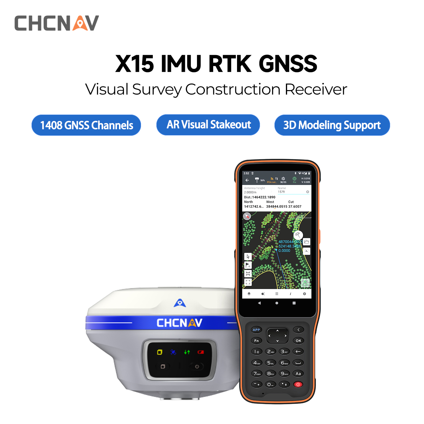
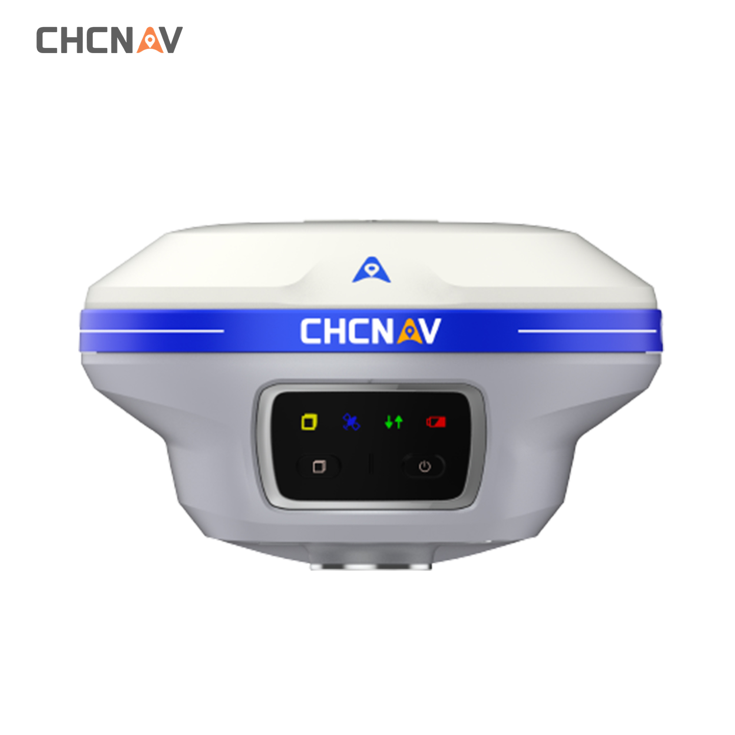
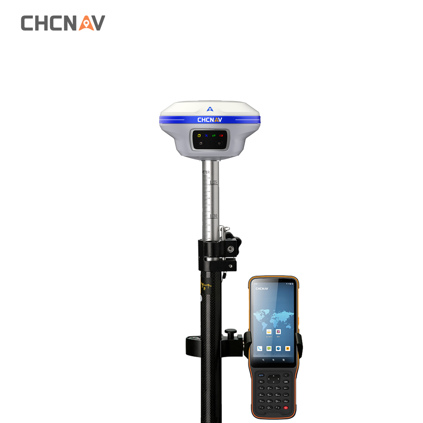
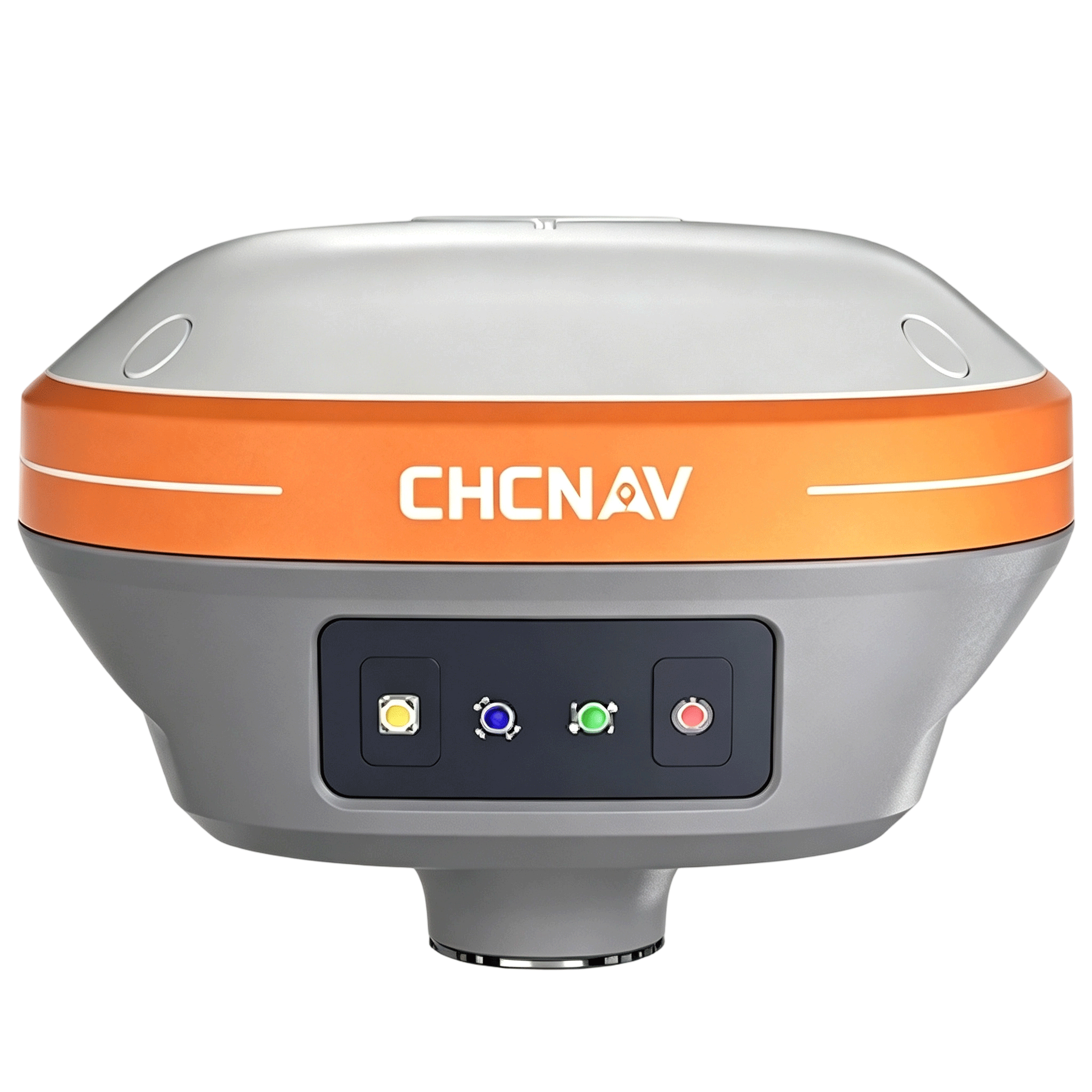
CHCNAV X15 GNSS RTK Receiver with Dual-Camera & IMU Survey Kit
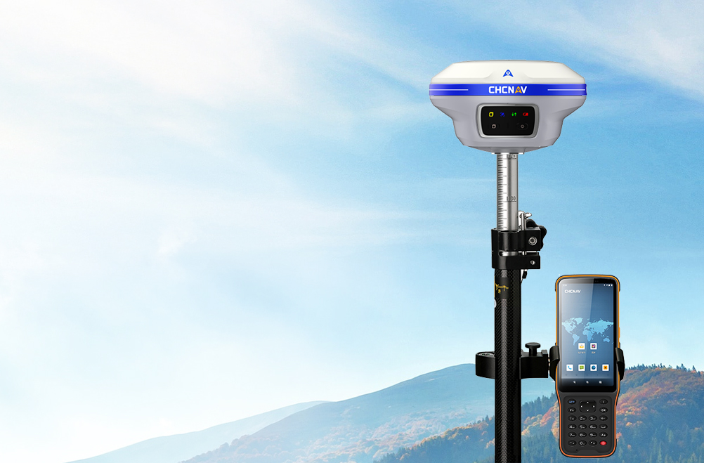
· Dual-camera AR stakeout
· 200Hz calibration-free IMU
· iStar2.0 Anti-interference
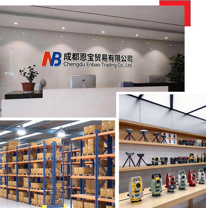
ABOUT US
Chengdu Enbao Co., Ltd. has over 20 years of experience in the surveying instrument industry and is a professional domestic enterprise in this field. Equipped with advanced production, processing and testing facilities, we focus on the research, development and manufacture of the latest surveying instruments, including RTK receivers, total stations, electronic the odolites, levels and supporting accessories. We keep upgrading and optimizing our products based on mature traditional technologies to achieve superior performance and reliable quality. We sincerely offer premium products and thoughtful services to clients woridwide.
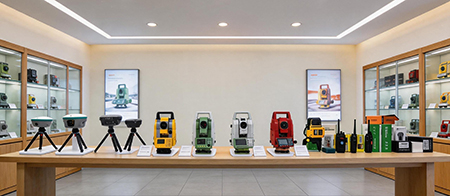
Company collaboration



PRODUCT DESCRIPTION
-
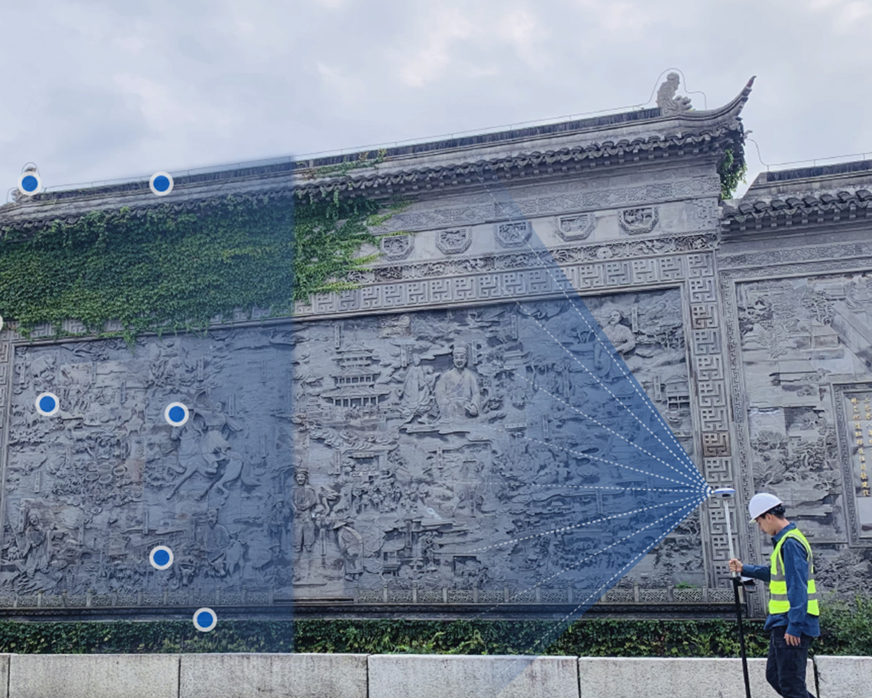
Visual Survey Excellence
Accurately measure previously inaccessible points with the i89's vision surveying capabilities. Panoramic capture mode with 85% overlap with integrated IMU data significantly improves point measurement performance.
-
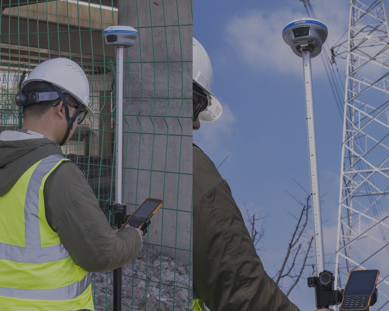
AR Visual Navigation and Stakeout
Simplify field operations with the i89's AR visual navigation and stakeout features that save up to 50% of the operator's time, even for less experienced users, with a reliability that is 10 times greater than standard gyroscope-based GNSS.
-
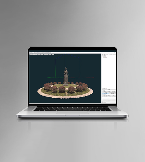
Efficient 3D Modeling
Seamlessly create 3D models using the i89's video photogrammetry algorithms. Compatibility with industry-standard 3D modelling software ensures flexibility and convenience.
-
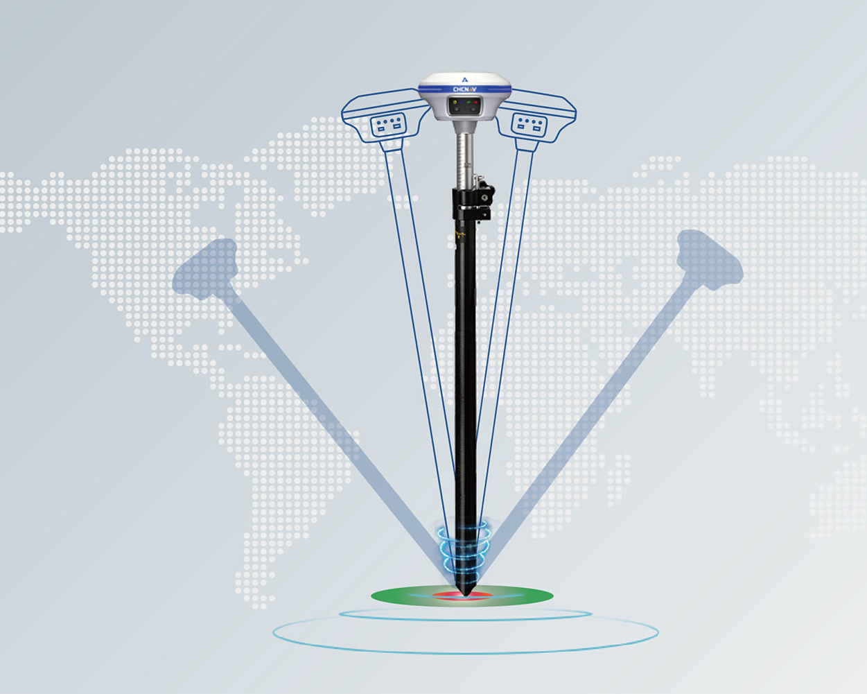
Auto-IMU Technology
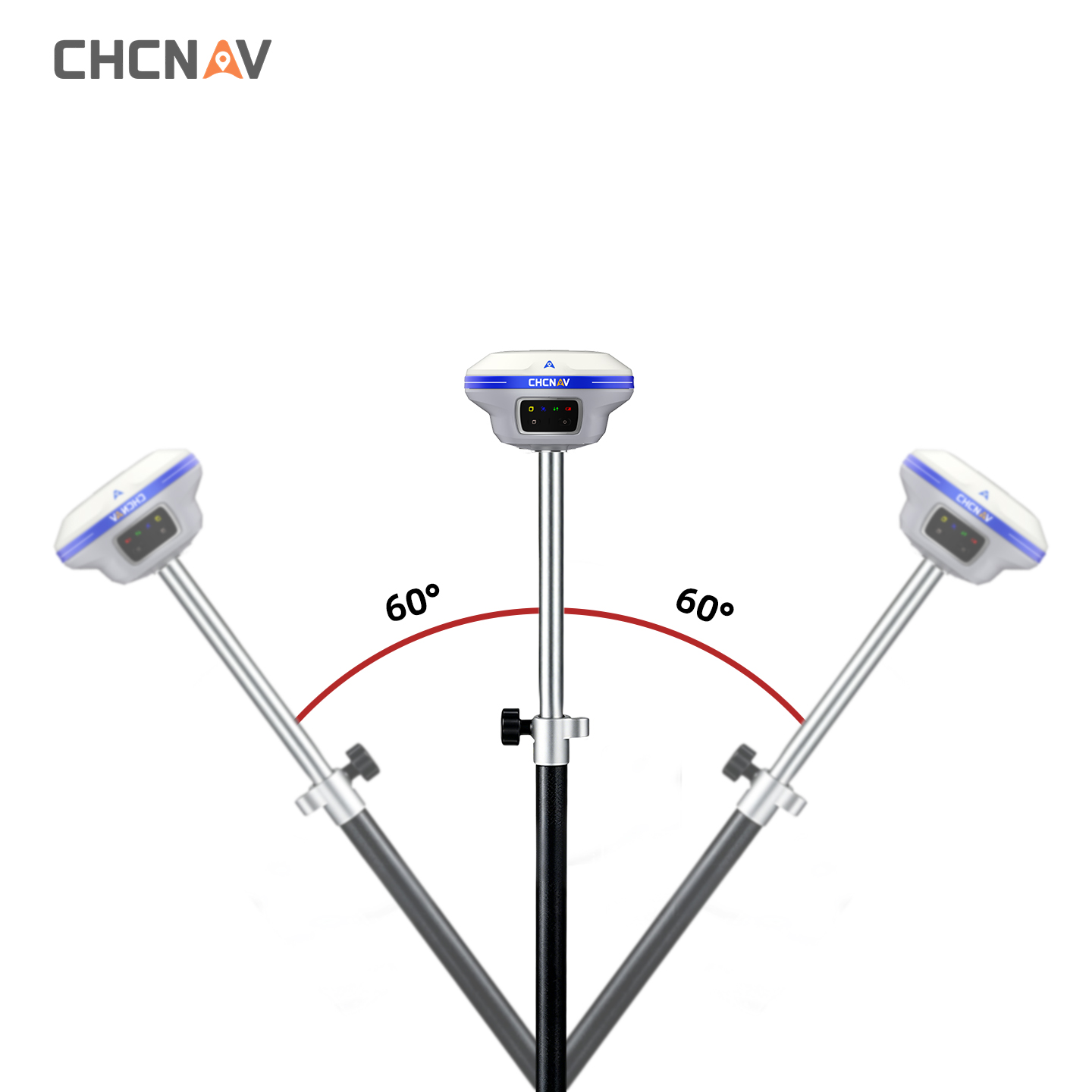
The i89's built-in 200Hz Auto-IMU removes the need for manual initialization, ensuring efficiency with every measurement. Its automatic pole tilt compensation maintains 3cm accuracy over a 60-degree tilt range.
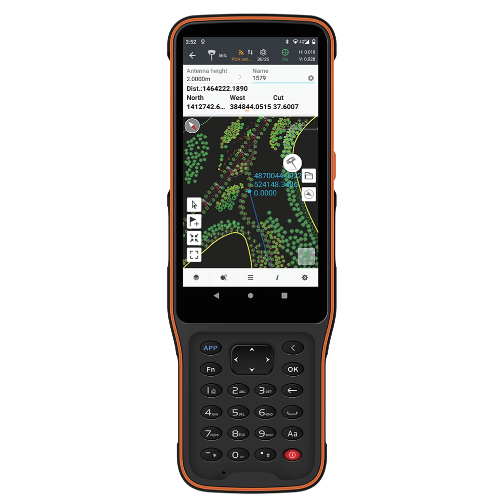
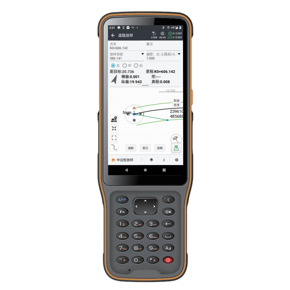
HCE600Android Data Collector


Bright Large Display
in direct sunlight.

Powerful Smooth Performance
CAD drawings without lag.

Light & Easy to Hold
body with side shortcut keys.

Built-in eSIM, 3 Years Free Data
use out of box.
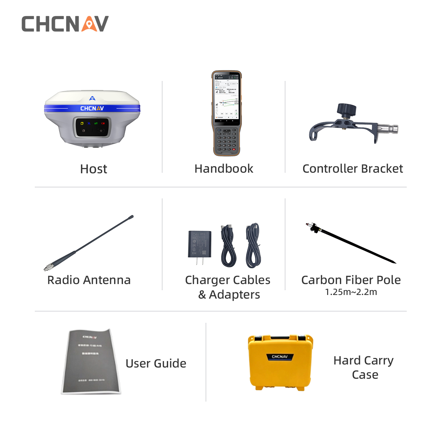
Full Set of Accessories
-
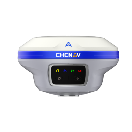
CHCNAV X15
-
Handbook
-
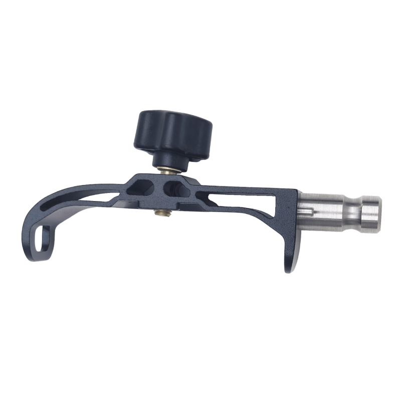
Handheld Bracket
-
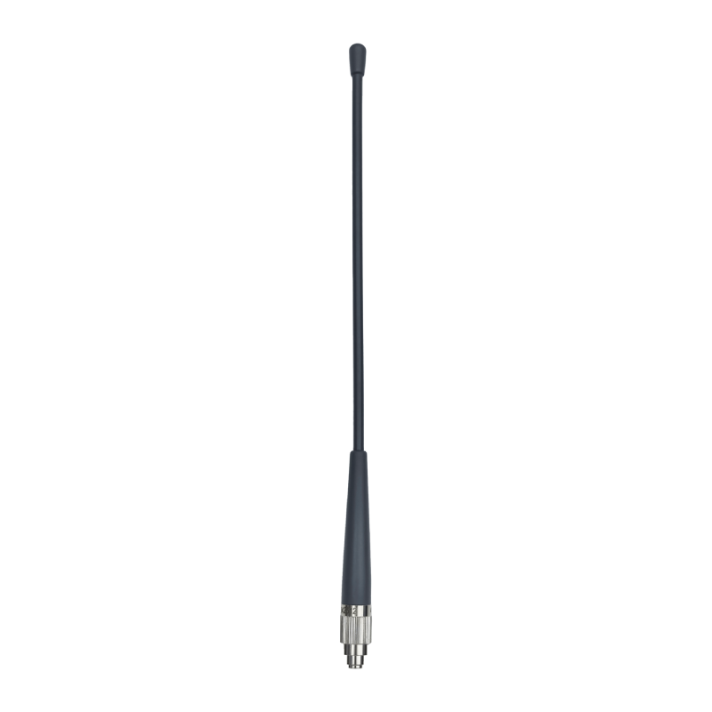
Radio Antenna
-
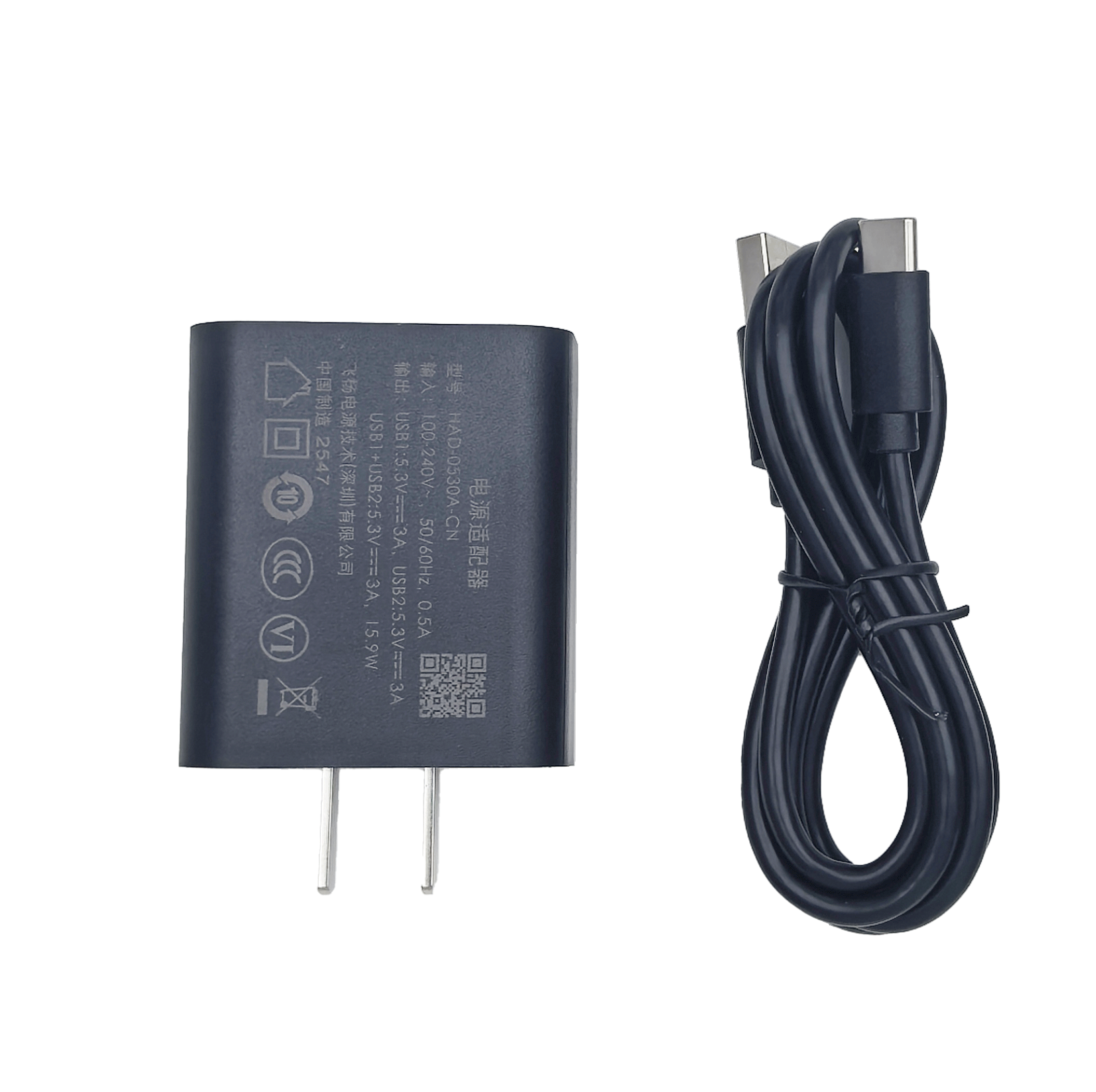
USB Charging Cable
-
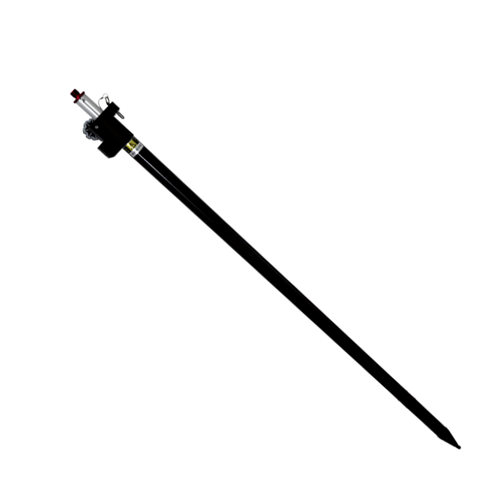
Carbon Fiber Pole
-
User Guide
-
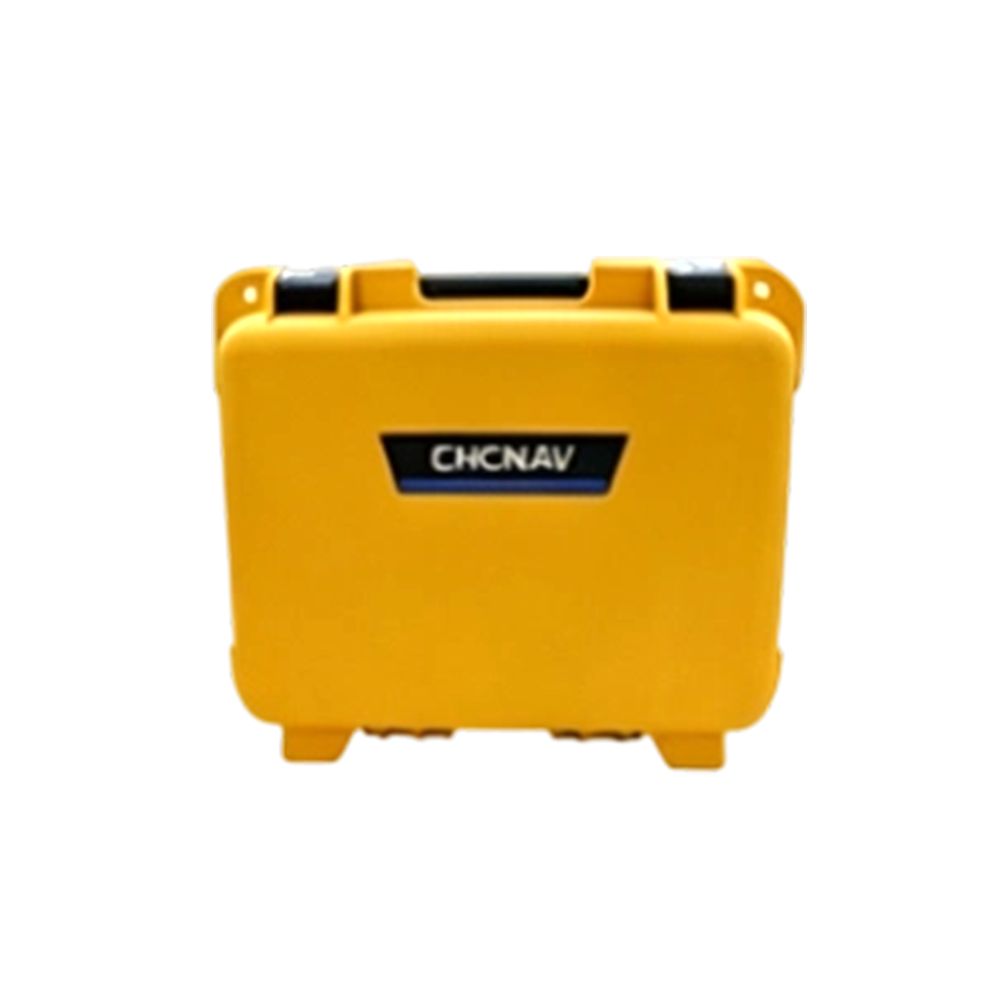
High-Strength Instrument Case







CHCNAV X15 GNSS RTK Receiver Specifications
Multi‑constellation GNSS RTK with Visual Survey & Tilt‑compensation
SATELLITE TRACKING(1)
| Satellite System | GPS+BDS+GLONASS+Galileo+QZSS; Supports BDS‑3, 5‑constellation, 21‑frequency tracking BDS: B1I,B2I,B3I,B1C,B2a,B2b* GPS: L1C/A,L1C,L2C,L2P(Y),L5 GLONASS: G1,G2,G3 Galileo: E1,E5a,E5b,E6* QZSS: L1C/A,L1C,L2C,L5 IRNSS: L5* SBAS: L1C/A* |
| Channel Count | 1408 channels |
| Initialization Reliability | 99.99% |
| Star‑base Differential | Supported |
| Signal‑acquisition Sensitivity | Typical‑162dBm, enhanced capability for weak‑signal capture |
GNSS + IMU ACCURACY(2)
| Static Accuracy | Horizontal: ±(2.5 + 0.5×10⁻⁶×D) mm Vertical: ±(5 + 0.5×10⁻⁶×D) mm |
| RTK Accuracy | Horizontal: ±(8 + 1×10⁻⁶×D) mm Vertical: ±(15 + 1×10⁻⁶×D) mm |
| Tilt‑compensation Accuracy | 8 mm +0.3 mm/° tilt (within 30° tilt angle <2.5cm) |
| Scene‑survey Accuracy | Typical 2‑4 cm; measuring distance 2‑15 m |
| IMU Update Rate | 200 Hz |
| Tilt Angle | 0‑60° |
| Tilt‑free Re‑acquisition | No re‑initialization required; IMU keeps working after initialization |
USER INTERACTION
| Indicator LEDs | 1 satellite LED,1 differential‑signal LED,1 static LED,1 power LED |
| Buttons | Satellite quick‑switch key + Fn function key + Power / Confirm key |
| Web UI | PC / Mobile browser access supported |
CAMERA & SPECIAL FUNCTIONS(3)
| Pixel | 2 MP & 5 MP |
| Frame Rate | 25 Hz |
| Field of View (H,V) | 75°, 75° |
| Illumination | Starlight‑grade camera, OmniPixel3‑GS tech 0.01lux low‑light full‑color imaging |
| Special Functions | Video measurement, 60% efficiency improvement 3D reconstruction, boost field‑office workflow AR real‑time navigation, avoid mis‑stakeout Visual aiming, one‑shot positioning |
PHYSICAL CHARACTERISTICS
| Dimension | Φ133.5 mm × 80 mm |
| Weight | 725g (with battery) |
| Material | Magnesium alloy |
| Operating Temperature | -45℃ ~ +75℃ |
| Storage Temperature | -55℃ ~ +85℃ |
| Water‑vapor‑proof Membrane | Prevent moisture ingress under harsh conditions: strong sunlight, heavy rain |
| Water & Dust Proof | IP68 (30‑min submersion under 1‑meter water) |
| Shock Resistance | IK08 |
| Condensation‑proof | 100% |
ELECTRICAL PERFORMANCE(4)
| Battery | Removable battery, typical 16 h operation |
| Fast Charging | Supported, Max 24 W fast‑charge |
| External Power Input | DC 5‑12 V |
| Storage | 8 GB internal, expandable up to 128 GB (USB‑Disk / TF‑Card) |
DATA OUTPUT & DATA COMMUNICATION
| Differential Data Format | RTCM2.X, RTCM3.X, CMR, CHC516 |
| Positioning Data | NMEA‑0183 |
| Static Data Format | HCN, RINEX 2.11, RINEX3.02 |
| Wireless Connection | Wi‑Fi data link supported |
| Radio Modem | Internal single‑transceiver radio; supports CHC / TT450 / transparent transmission protocol; compatible with mainstream radio protocols |
ADVANCED FUNCTIONS
| One‑click Fix | Built‑in CORS account, fix position on power‑on |
| Intelligent Service | CHC cloud service, cloud storage, code & point‑cloud sharing |
CONTROLLER HANDHELD UNIT: HCE600
| Operating System | Android 10 |
| CPU | Octa‑core 2.0 GHz processor |
| Network | 4G full‑net, built‑in e‑SIM with 3‑year survey data traffic |
| Display | 5.5" high‑brightness screen |
| Battery | Typical runtime 14 h |
| Water & Dust Proof | IP68 |
| Expandable Storage | TF‑Card up to 256 G |
*Specifications subject to change without prior notice.
(1) 21‑frequency tracking available via firmware upgrade.
(2) Accuracy & reliability are affected by multipath, obstructions, satellite geometry and other external factors. For high‑precision static survey, minimum 24‑hour observation is required.
(3) Special functions can be unlocked via firmware upgrade.
(4) Battery runtime depends on working mode, ambient temperature.
All performance data are lab‑test nominal values. Actual field performance may differ due to hardware batch, firmware, operating environment. Refer to official website for latest information.