
Redefining Small-to-Medium Construction Site Drone Surveys
Traditional survey methods and fixed-wing aerial systems often fail when confronted with dense urban job sites, steep geological cuttings, and obstruction-heavy building infrastructure. The Feima D5000 multirotor drone solves critical geospatial challenges with surgical multi-axis agility and high-precision spatial positioning.
Agile Multi-Rotor Navigation
Featuring compact carbon-composite rotor architecture, the D5000 enters narrow building gaps, urban road corridors, and hazardous cliff sections where large aircraft cannot operate safely.
Centimeter-Level RTK/PPK
Equipped with multi-frequency, multi-constellation GNSS positioning, the platform delivers 1 cm + 1 ppm horizontal precision and 1.5 cm + 1 ppm vertical accuracy without dense ground control point networks.
Dense 3D Point Clouds
Seamlessly swap between high-resolution oblique photogrammetry sensors and lightweight LiDAR scanners to generate crisp digital elevation models (DEM) and true-scale digital twins.
Engineered Specifically for Complex Engineering Constraints
Small and mid-sized construction projects face unique geometric limitations: tower cranes, overhead utility lines, sheer retaining walls, and shifting stockpiles. The Feima D5000 multirotor drone eliminates operational risks through integrated smart hardware.
Millimeter-Wave Radar & Omnidirectional Vision Sensors
Operating in close proximity to scaffolding, temporary site towers, and steep rock cuttings requires dependable spatial awareness. The Feima D5000 integrates front, rear, downward, and upward sensory arrays paired with millimeter-wave radar to detect thin wires and scaffold poles up to 35 meters away, automatically executing collision-avoidance hovering and smart path recalculation.
Adaptive Terrain-Following & Slope Face Scanning
Highway cuttings, quarry benches, and foundation pit side slopes demand perpendicular look-angles rather than pure nadir imagery. With built-in intelligent 3D terrain profile recognition, the D5000 automatically maintains a constant ground sampling distance (GSD) across undulating vertical terrain, providing consistent sub-centimeter imagery for rockfall monitoring and slope deformation analysis.
Integrated Survey Workflow: Pre-Flight to Cloud Deliverables
Powered by the Feima UAV Manager suite, survey crews plan complex multi-tiered grid routes, facade inspection patterns, and perimeter sweeps in minutes. Sensor calibration, differential GPS correction synchronization, and raw trajectory solving happen seamlessly, reducing manual field processing time by over 60%.
Feima D5000 Technical Architecture
Optimized balance between flight endurance, structural rigidity, payload adaptability, and survey-grade positional reliability.
| Parameter Category | Specification Details | Operational Impact for Construction Sites |
|---|---|---|
| Aircraft Type & Frame | Foldable Carbon Fiber Quadrotor System | High Portability Backpack-ready for single-operator field mobilization. |
| Positioning Capability | Multi-Frequency GNSS (GPS, GLONASS, BeiDou, Galileo) + RTK/PPK | Survey Grade Eliminates requirement for extensive Ground Control Points. |
| Max Payload Capacity | Up to 1.8 kg Multi-Sensor Quick-Release Mount | Modular Supports RGB Ortho, Oblique 5-Lens, and LiDAR units. |
| Max Wind Resistance | Level 6 (12 m/s / 27 mph) | All-Weather Reliable operations on windy mountain slopes and coastal sites. |
| Operational Temperature | -20°C to +50°C (-4°F to 122°F) | Harsh Environments Built-in self-heating smart battery modules. |
| Obstacle Avoidance | Forward/Rear/Downward Vision + Top Millimeter-Wave Radar | Safety Rated Safe low-altitude proximity flights near cranes and power lines. |
| Orthophoto GSD | Down to 0.8 cm/pixel at 50 m AGL | High Precision Detects hairline surface cracks, rebar spacing, and joint misalignments. |
Specialized Construction Site Drone Survey Solutions
How leading surveying teams leverage the Feima D5000 multirotor drone to accelerate project timelines and guarantee geospatial precision.
1. Rapid Earthwork & Cut-and-Fill Volume Calculation
On small and mid-sized construction sites, bulk material inventories and foundation excavation volumes change daily. Manual rod surveys are dangerous, slow, and yield sparse spot elevations. The Feima D5000 maps an entire 15-hectare site in under 20 minutes, collecting tens of millions of accurate elevation points.
- Direct integration with Civil 3D, Bentley InRoads, and Trimble Business Center.
- Volumetric calculation discrepancy typically under 1.5% compared to total station cross-sections.
- Automated stockpile classification eliminating human bias and machinery downtime.
Case Study: Deep Foundation Pit Monitoring
A 3.2-hectare commercial basement excavation surrounded by high-density urban residential towers required weekly volumetric verification and retaining wall deflection tracking.
Case Study: Highway Cut Slope Stability
A 68-meter high reinforced concrete grid slope along an active mountainous expressway required safety inspection for micro-cracking and loose boulder displacement without stopping traffic.
2. High-Risk Steep Slope & Retaining Wall Inspection
Inspecting sheer geological faces and shotcrete retaining structures typically requires specialized rope-access teams, exposing workers to rockfall hazards. The Feima D5000 executes autonomous vertical grid paths parallel to steep slope faces, capturing millimeter-resolution texture for AI-assisted structural health diagnostics.
- Sub-millimeter crack identification and anchor plate corrosion mapping.
- LiDAR vegetation penetration to capture true geological bedrock geometry beneath overgrowth.
- Epoch-over-epoch differential cloud comparison to detect micro-scale slope shifts before failure occurs.
From Raw Multi-Sensor Data to Actionable Engineering Insights
Delivering survey deliverables directly compatible with modern BIM platforms, GIS databases, and structural finite element modeling tools.
True Digital Orthophoto (TDOM)
Eliminates building lean and perspective displacement in dense construction zones, enabling direct on-screen boundary measurements.
Classified LAS Point Clouds
Automatic ground-filtering algorithms strip vegetation, machinery, and temporary site hoardings to generate clean bare-earth DTMs.
3D Textured Mesh Reality Models
High-fidelity 3D meshes for BIM comparison, as-built verification against IFC blueprints, and dynamic project stakeholder presentations.
Structural Deformation Heatmaps
Color-coded deviation maps demonstrating millimeter shifts in retaining walls, bridge piers, and excavation shoring over time.
Chengdu Zhicun Space Surveying Instrument Co., Ltd.
Professional Measurement Equipment Supplier & Geospatial Solutions Integrator
Company Profile & Engineering Philosophy
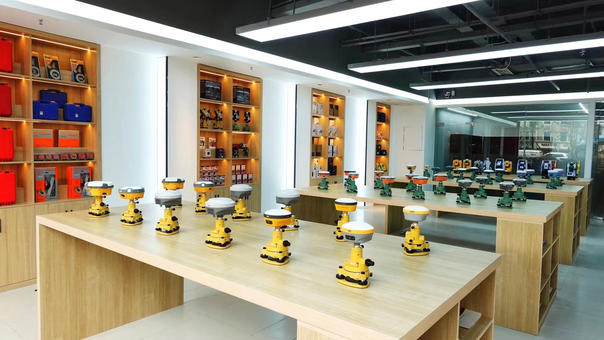
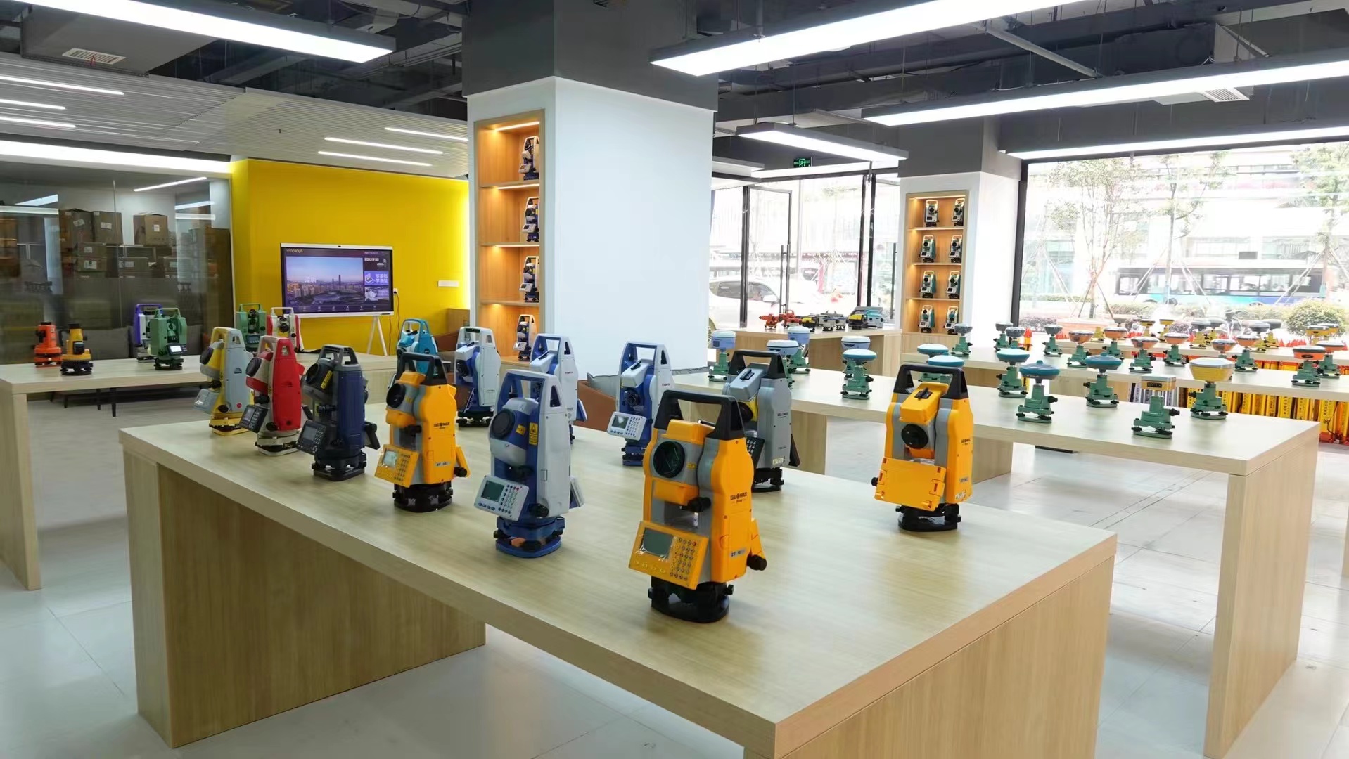
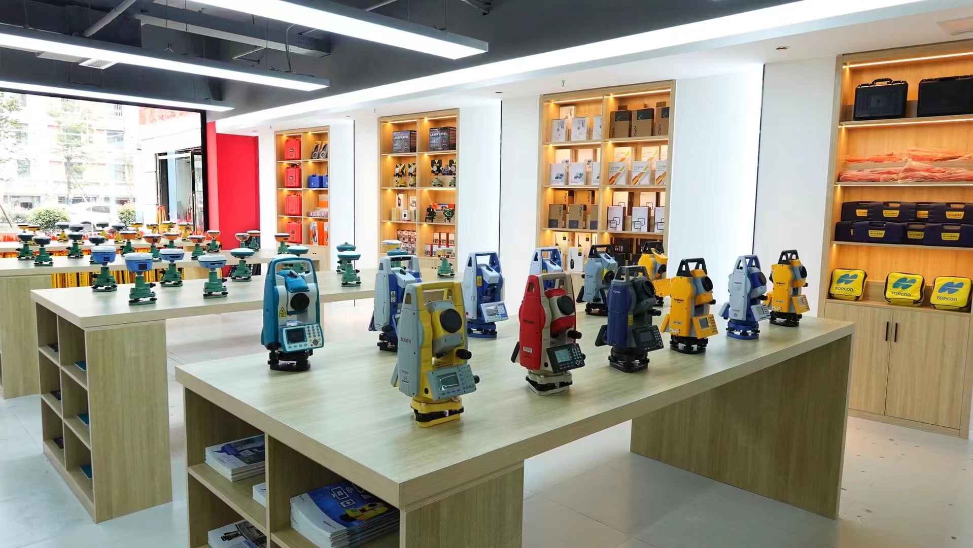
Chengdu Zhicun Space Surveying Instrument Co., Ltd. is located in Jinniu District, Chengdu City, Sichuan Province. It is a professional measurement equipment supplier that integrates the sales, service, and technical support of surveying instruments. Since its establishment, the company has always adhered to the business philosophy of "professionalism, precision, efficiency, and service", and is committed to providing comprehensive and advanced measurement solutions for the surveying and mapping industry.
As a professional measurement equipment supplier, Chengdu Zhicun Space Surveying and Mapping Instrument Co., Ltd. maintains an extensive product line covering well-known domestic and foreign brands of total stations, RTK (Real Time Kinematic) differential systems, electronic theodolites, automatic levels, gyroscopes, depth sounders, laser rangefinders, laser plummets, laser marking instruments, and other conventional measuring instruments. Additionally, the company provides cutting-edge non-destructive testing (NDT) instruments such as floor thickness measuring gauges, crack width and depth testers, and underground pipeline detectors.
Furthermore, the company serves as an authorized sales and technical integration agent for high-end geospatial technology products, including terrestrial and mobile 3D laser scanners, advanced unmanned aerial vehicle (UAV) systems like the Feima D5000 multirotor drone, GNSS positioning solutions, and GIS handheld satellite receivers.
Industry Exhibitions & Technical Demonstrations
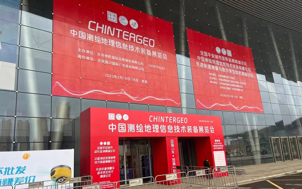
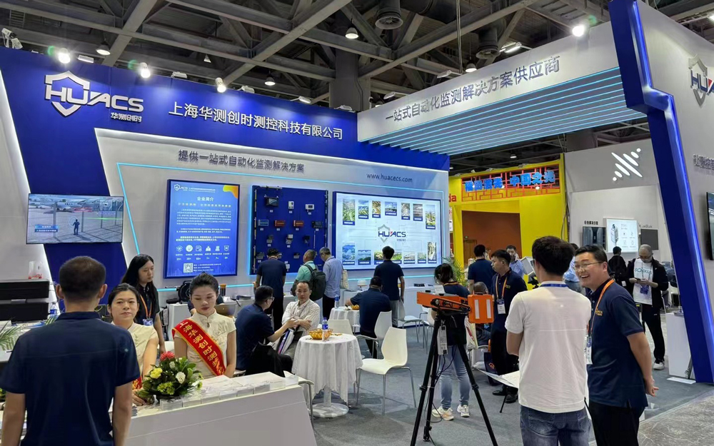
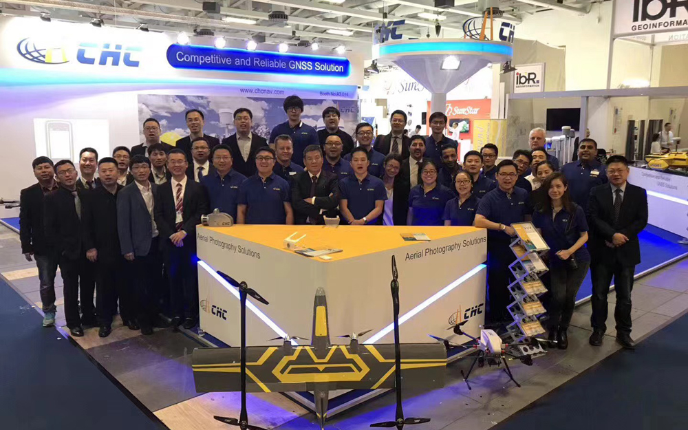
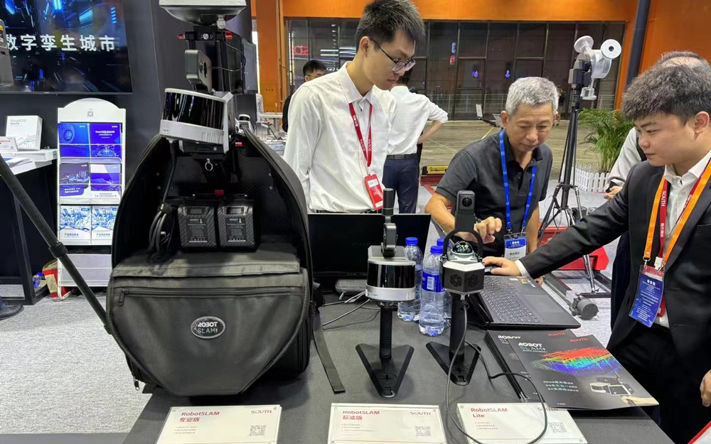
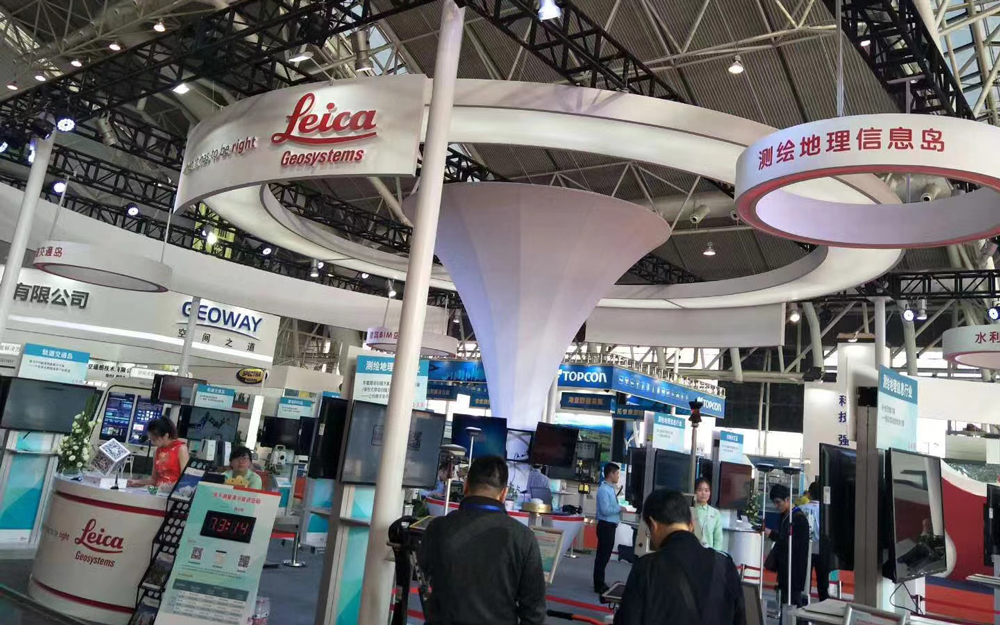
Demonstrating advanced UAV survey solutions, total stations, and RTK systems across international surveying, civil engineering, and infrastructure conferences.






Construction Drone Survey Execution Framework
A streamlined four-step workflow delivering millimeter-accurate geospatial outputs in constricted engineering spaces.
Site Corridor Planning
Import site boundary CAD/KML files into Feima UAV Manager. Define safety buffer zones around tower cranes and establish 3D terrain-following flight lines.
Autonomous Flight
Launch the D5000 with a single tap. The system conducts automated pre-flight checks, connects to local CORS RTK networks, and gathers geo-tagged data safely.
Trajectory & Point Cloud
Automated POS trajectory solving couples raw IMU and satellite data with microsecond precision, generating geo-referenced LiDAR clouds or photogrammetric blocks.
Engineering Export
Export standardized DXF, LAS, GeoTIFF, and OBJ files directly into Revit, Civil 3D, or GIS systems for cut-fill calculations and progress billing verification.
Frequently Asked Questions
Key considerations when deploying multirotor survey drones on complex civil engineering and infrastructure projects.
Why choose the Feima D5000 multirotor drone over a fixed-wing UAV for construction site surveys?
While fixed-wing drones excel at mapping massive agricultural or regional tracts over hundreds of square kilometers, they lack vertical takeoff and landing flexibility in constricted spaces, cannot hover to inspect vertical facades, and cannot follow steep slope gradients closely. The Feima D5000 multirotor provides true vertical takeoff/landing (VTOL) from a 2x2 meter flat spot, active obstacle avoidance, and precise hovering capabilities critical for tight construction pits, urban sites, and steep slopes.
Can the Feima D5000 operate effectively without placing ground control points (GCPs)?
Yes. Thanks to its integrated high-precision RTK/PPK GNSS module and microsecond camera-shutter synchronization, the D5000 achieves absolute spatial accuracy of 1-2 cm without any ground control points. For high-liability legal boundary surveys or engineering sign-offs, we recommend placing 2-3 independent check points to verify model integrity without slowing down field operations.
What after-sales and technical training services does Chengdu Zhicun Space provide?
Chengdu Zhicun Space Surveying Instrument Co., Ltd. provides comprehensive end-to-end support including system commissioning, CAA/FAA compliant flight safety training, multi-sensor calibration, data post-processing workshops, and full instrument maintenance. Our factory-certified engineering team ensures zero site downtime for surveying crews throughout southwest China and international project hubs.