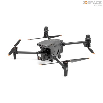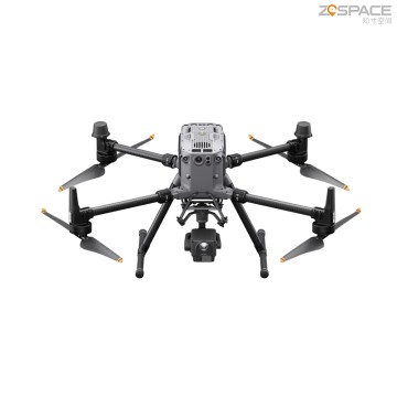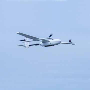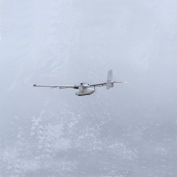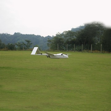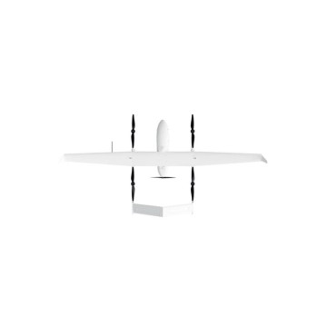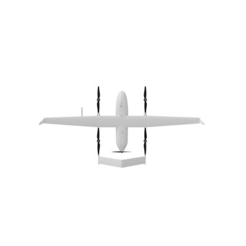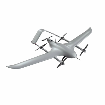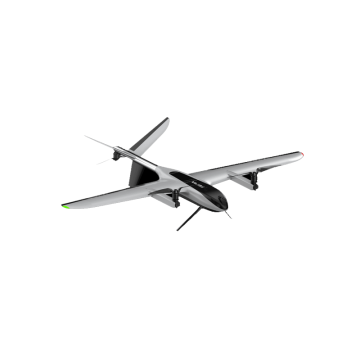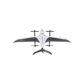

fixed wing mapping drone
Introducing the innovative fixed wing mapping drone from Chengdu Zhicun Space Surveying Instrument Co., Ltd., a leading provider of cutting-edge surveying technologies. Our drones are designed for precision and efficiency, making them an essential tool for professionals involved in Uav Drone Survey applications. With advanced mapping capabilities and robust specifications, our fixed wing mapping drones provide unmatched performance, enabling users to capture high-quality aerial imagery and geospatial data with ease. Whether you are engaged in construction, agriculture, or environmental monitoring, our drones streamline your workflow, reduce costs, and enhance accuracy in data collection, At Chengdu Zhicun, we understand the importance of integrating advanced technologies like Drone Gnss for enhanced positioning and navigation. Our fixed wing mapping drones are equipped with state-of-the-art GNSS systems that ensure precise alignment and improved mapping results during Drone Land Surveying tasks. With a commitment to innovation and quality, we are dedicated to supporting global buyers in achieving their surveying goals. Experience the next generation of aerial mapping solutions with Chengdu Zhicun’s fixed wing mapping drone, and unlock new possibilities in your surveying operations