

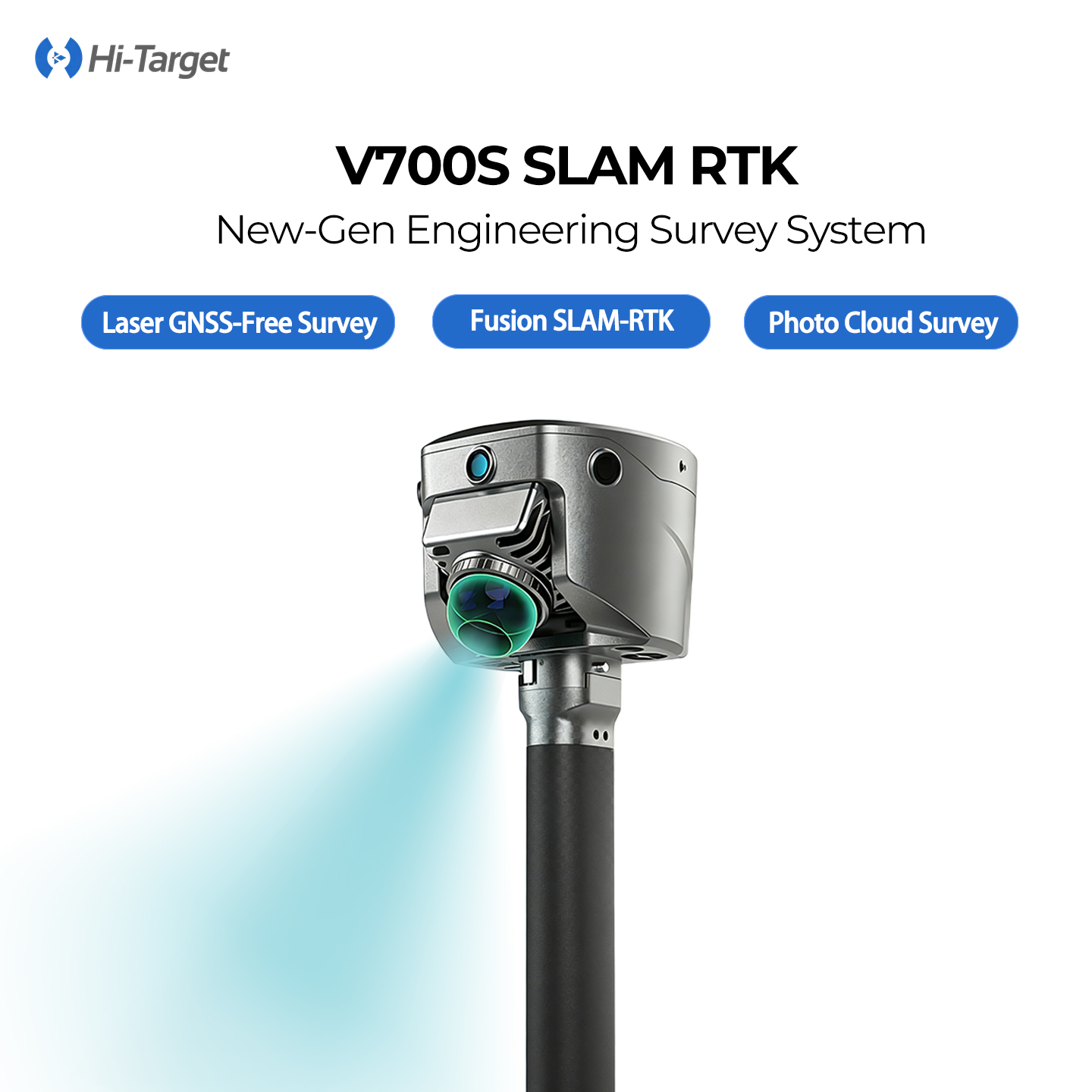
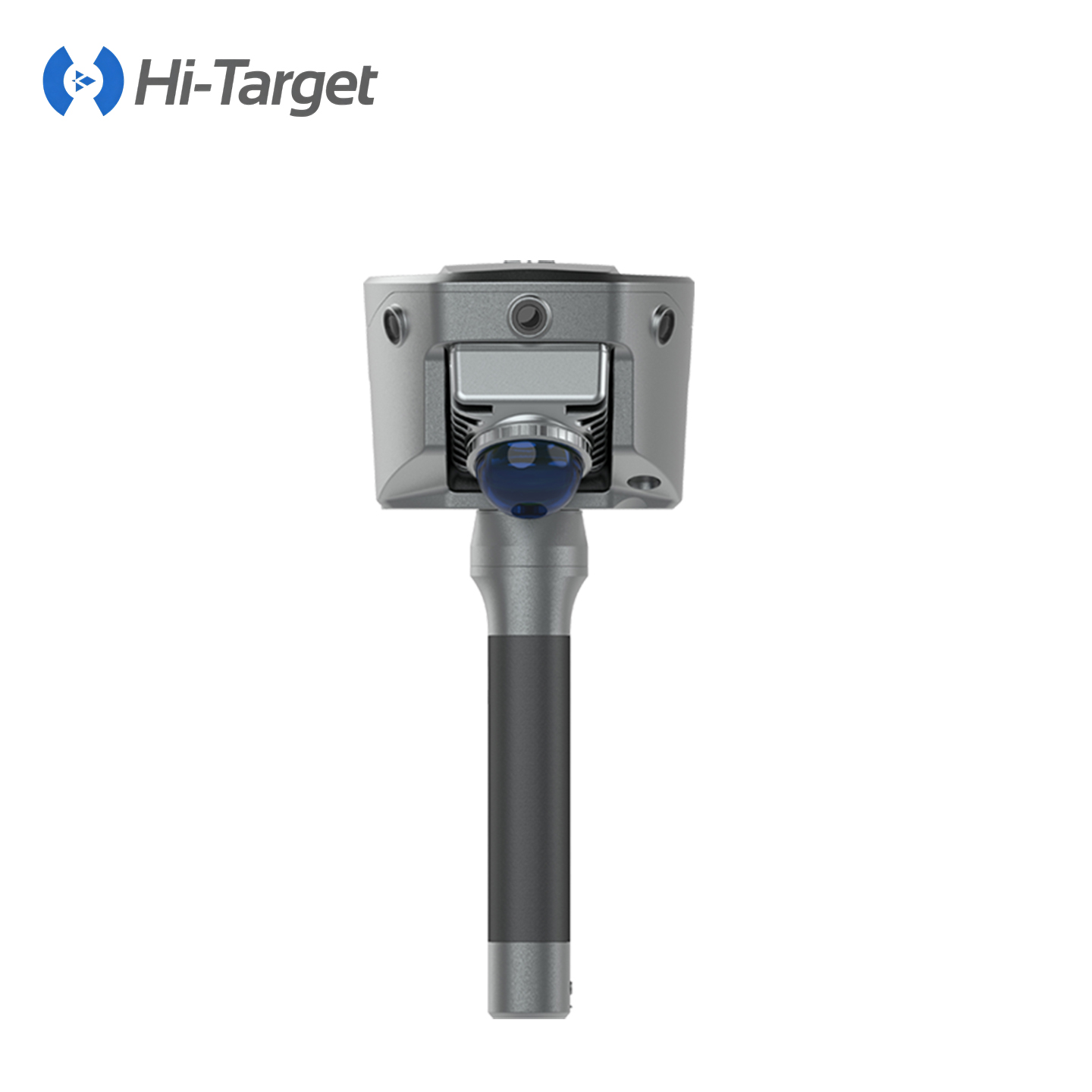
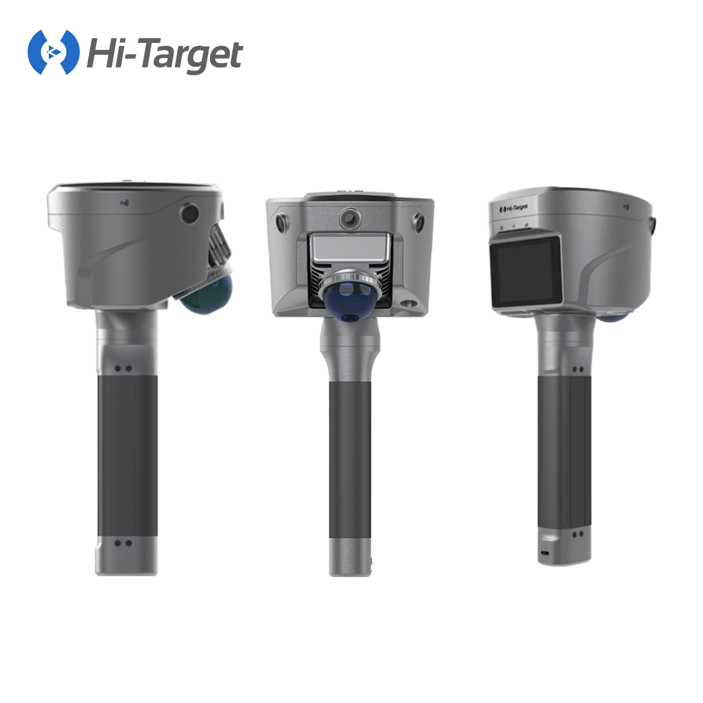

Hi-Target V700S/V6 Laser Scanner Handheld 3D Laser Slam Engineering 3D Scanning Machine
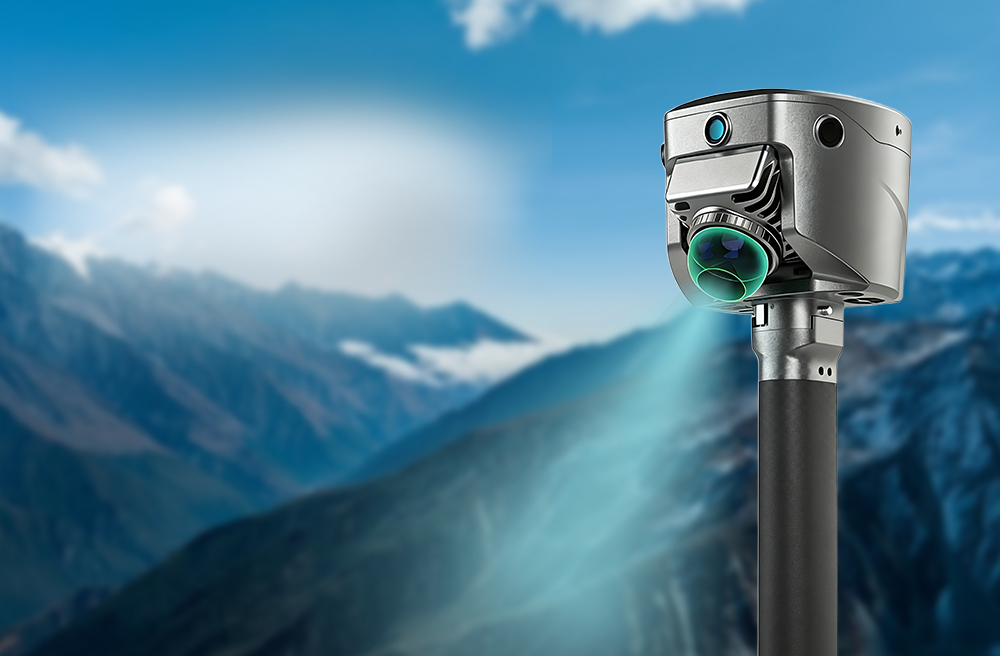
New Generation Engineering Surveying System
· Laser Positioning, GNSS-Free Survey
· RTK-SLAM Fusion, Control-Free Scan
· Photo Survey, Real-Time Point Cloud
ABOUT US
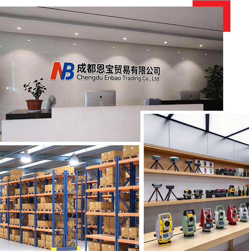
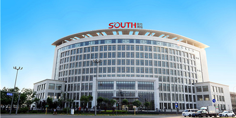
Chengdu Enbao Co., Ltd. has over 20 years of experience in the surveying instrument industry and is a professional domestic enterprise in this field. Equipped with advanced production, processing and testing facilities, we focus on the research, development and manufacture of the latest surveying instruments, including RTK receivers, total stations, electronic the odolites, levels and supporting accessories. We keep upgrading and optimizing our products based on mature traditional technologies to achieve superior performance and reliable quality. We sincerely offer premium products and thoughtful services to clients woridwide.
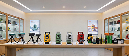
Company collaboration



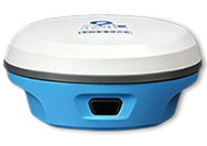
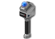
PRODUCT DESCRIPTION
-
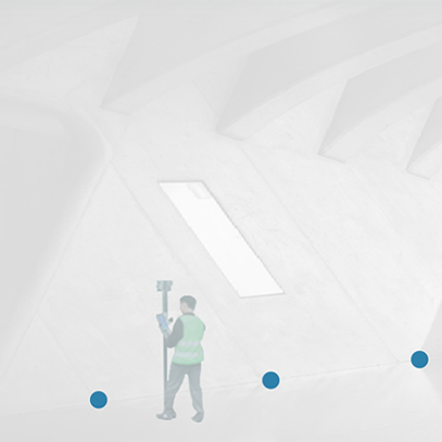
Dual-axis compensation
- Built-In Dual-Axis Angular Compensator, Auto Correct Angular Errors.
-
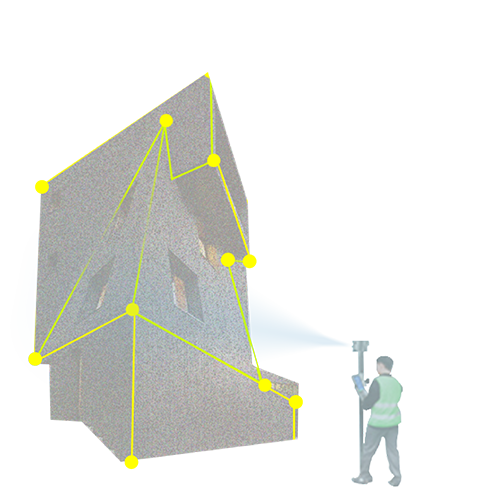
Contactless Measurement
- Photo Capture Coordinates, Remote Safe Surveying.
-
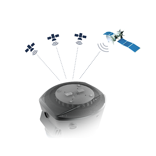
Next-Gen GNSS Engine
- 1408-Channel GNSS Chip, Anti-Jamming Stable Positioning.
-
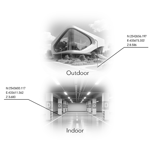
Unified Coordinate Framework
- RTK-SLAM Fusion, Free Scanning Without Control Points.
Details
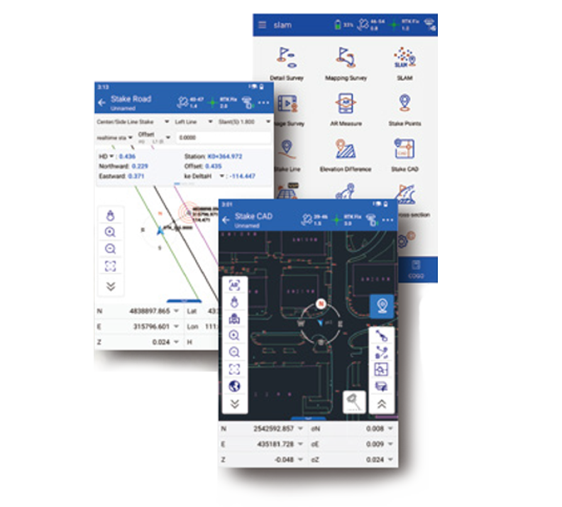
Hi-Survey Field Software
|
 |
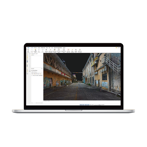
Office Software for Post-processing
|
 |
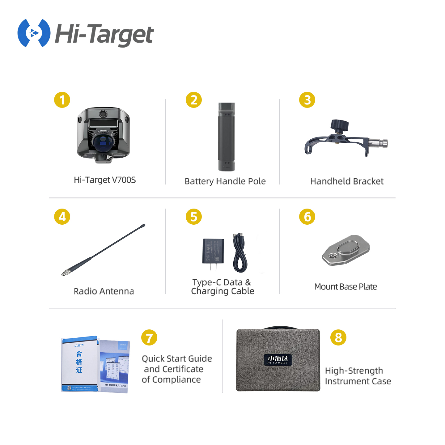
Full Set of Accessories
-
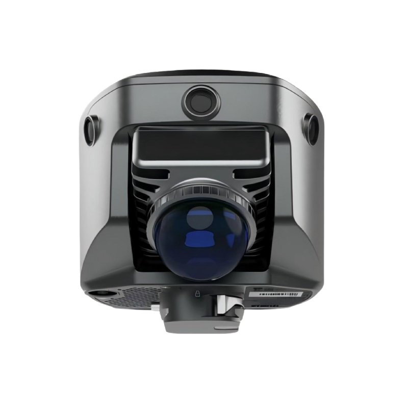
Hi-Target V700S
-
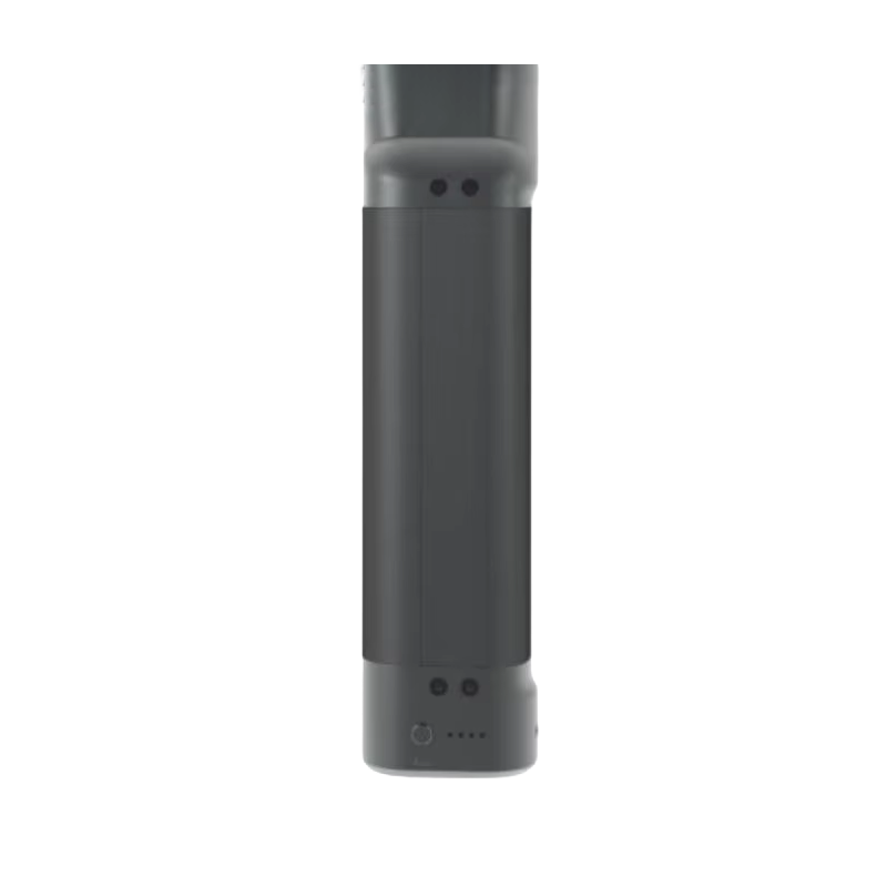
Battery Handle Pole
-
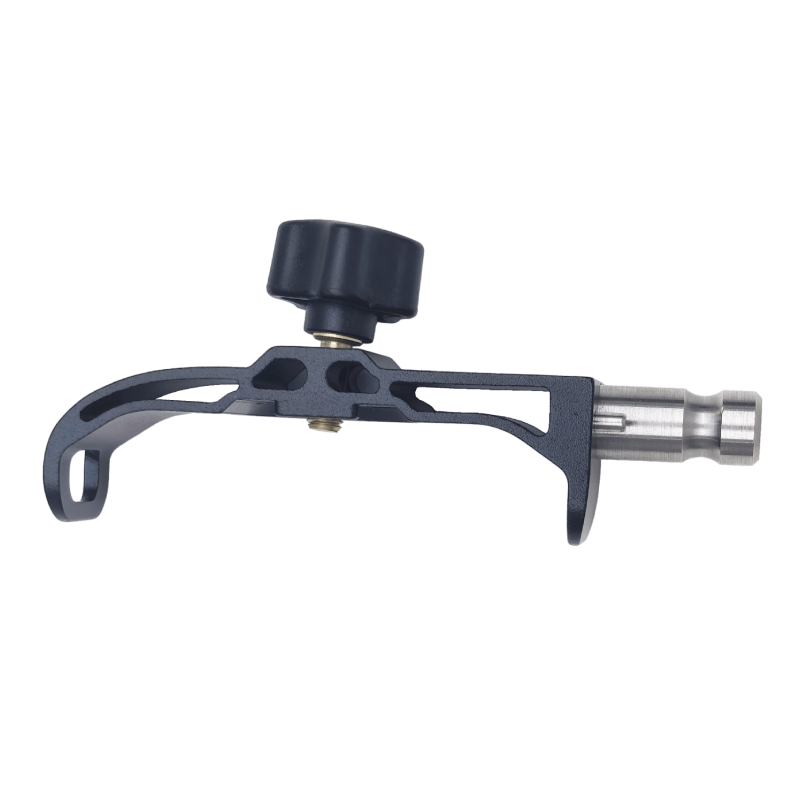
Handheld Bracket
-
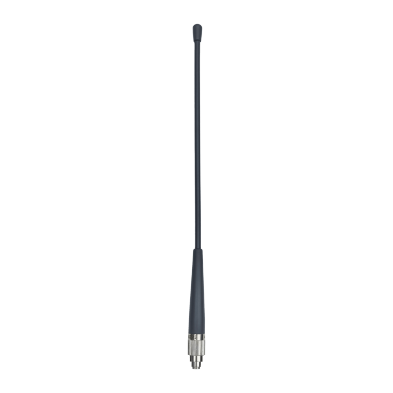
Radio Antenna
-
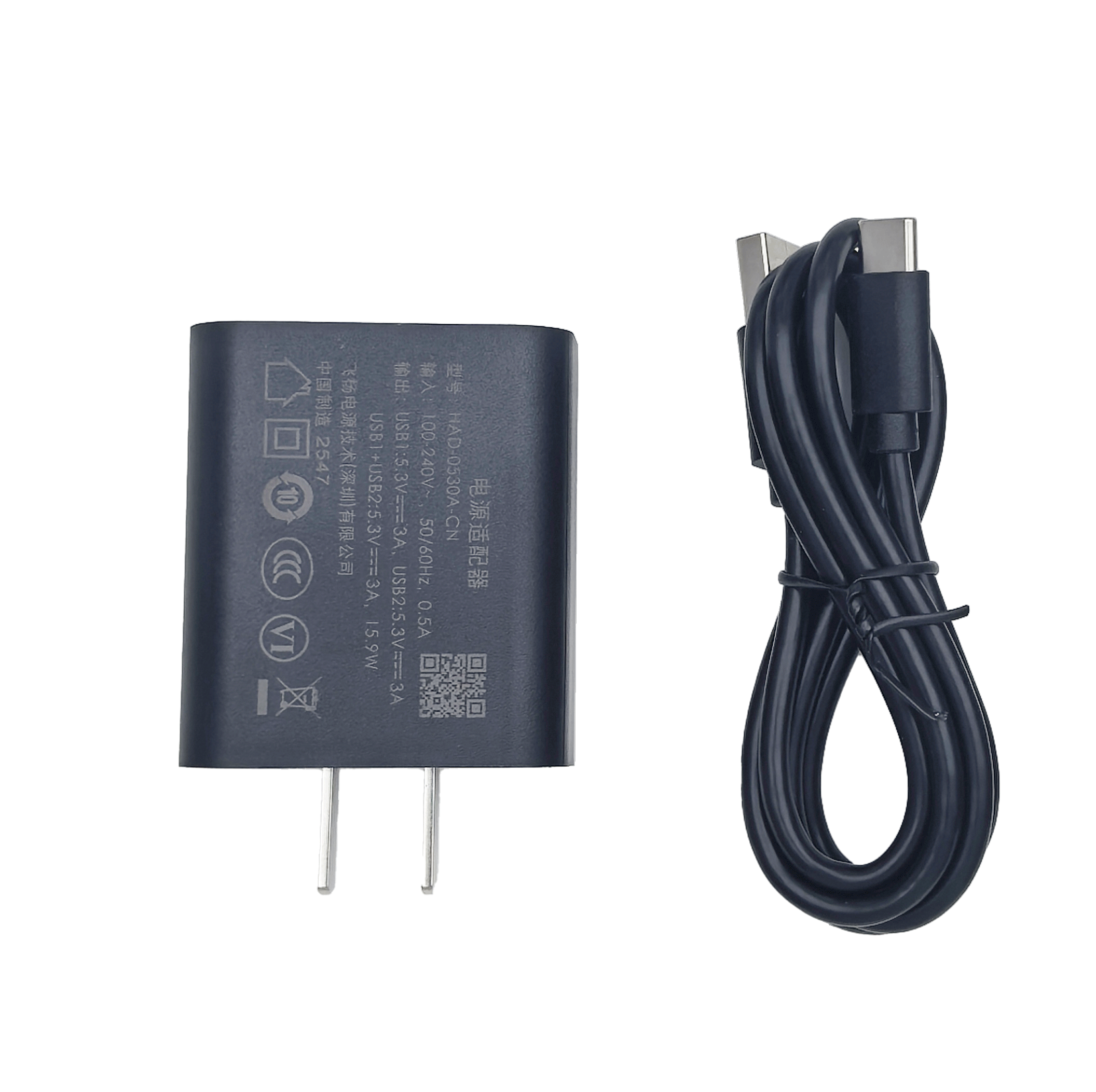
Type-C Data & Charging Cable Type-C
-
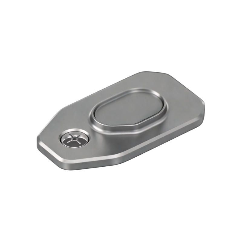
Mount Base Plate
-
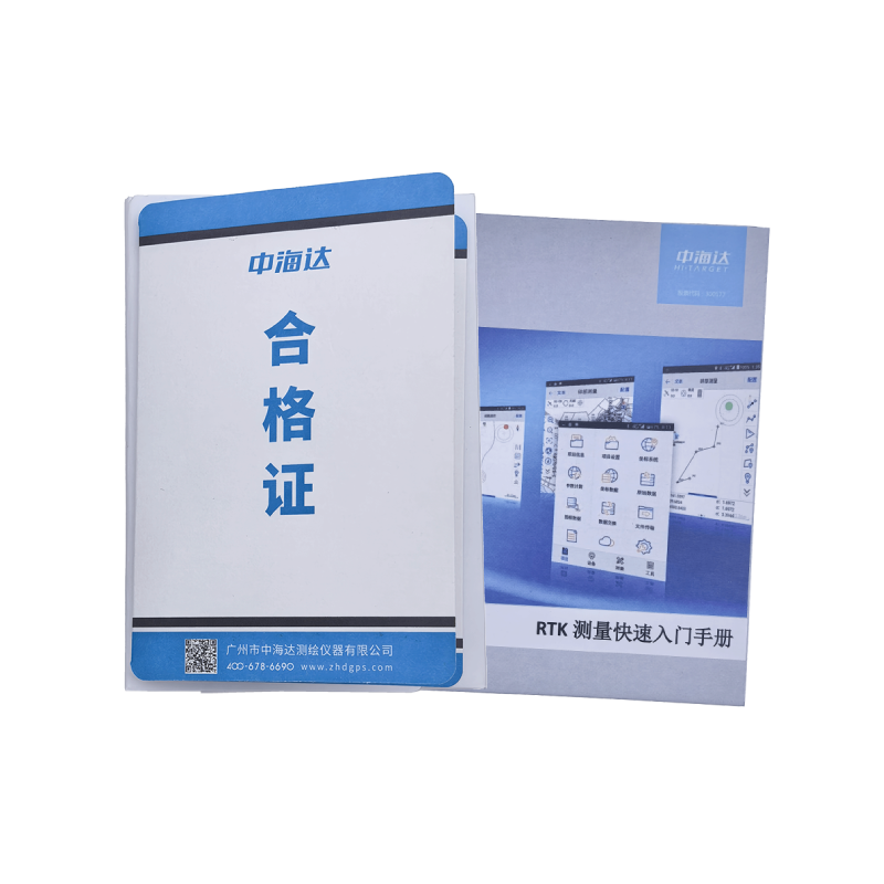
Quick Start Guide and Certificate of Compliance
-
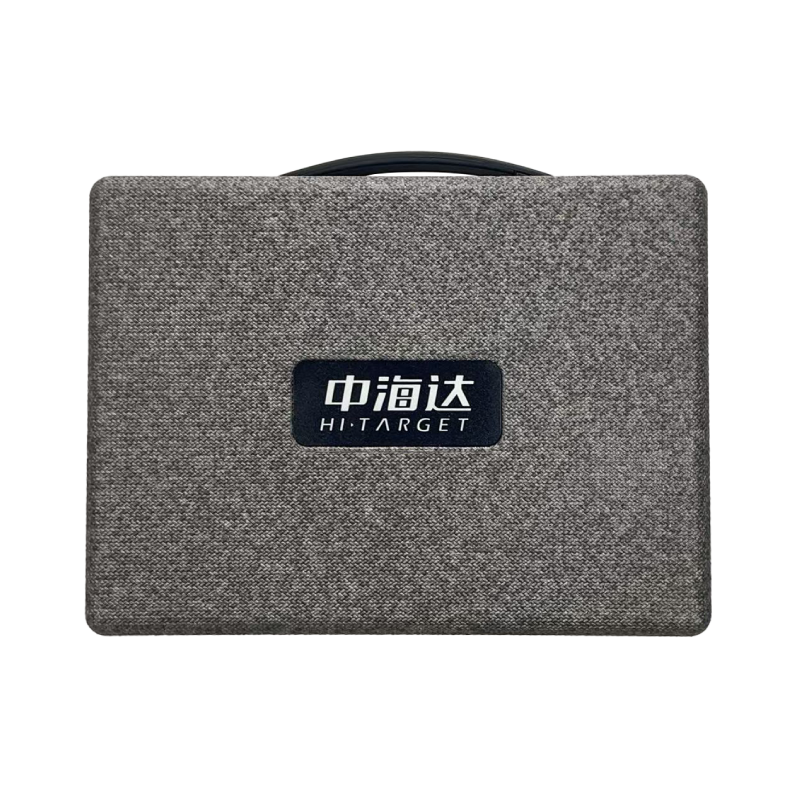
High-Strength Instrument Case






Hi‑Target V700S GNSS‑SLAM Receiver Specifications
LiDAR‑IMU‑RTK Integrated Survey Receiver
GNSS CONFIGURATION
| Channels | 1408 |
| GPS | L1C/A, L1C, L2P(Y), L2C, L5 |
| BDS | B1I, B2I, B3I, B1C, B2a, B2b |
| GLONASS | L1, L2, L3 |
| GALILEO | E1, E5a, E5b, E6 |
| QZSS | L1, L2, L5, L6 |
| NavIC | L5 |
| SBAS | L1, L2, L5 |
| PPP | B2b‑PPP, E6‑HAS |
| Output Format | ASCII: NMEA‑0183, Binary |
| Output Rate | 1Hz‑20Hz |
| Static Data Format | GNS, Rinex |
| RTK Format | RTCM2.X, RTCM3.X |
| Network Mode | VRS, FKP, MAC, Support NTRIP protocol |
SYSTEM CONFIGURATION
| Operating System | Linux |
| Storage | Circulating 512GB ROM |
ACCURACY AND RELIABILITY
| High‑Precision Static | |
| Horizontal | 2.5 mm + 0.1 ppm RMS |
| Vertical | 3.5 mm + 0.4 ppm RMS |
| Static and Fast Static | |
| Horizontal | 2.5 mm + 0.5 ppm RMS |
| Vertical | 5 mm + 0.5 ppm RMS |
| PPK | |
| Horizontal | 5 mm +1 ppm RMS |
| Vertical | 10 mm +1 ppm RMS |
| PPP | |
| Horizontal | 10 cm |
| Vertical | 20 cm |
| Code Differential GNSS Positioning | |
| Horizontal | ±0.25 m+1 ppm RMS |
| Vertical | ±0.5 m+1 ppm RMS |
| SBAS | H: 0.5 m, V:0.85 m |
| Real‑Time Kinematic (RTK) | |
| Horizontal | 8 mm+1 ppm RMS |
| Vertical | 15 mm+1 ppm RMS |
| Initialization time | Typically <10 s |
| Initialization reliability | Typically >99.9% |
| Tilt Survey Performance | 8 mm+0.3 mm/°tilt |
| AR stakeout | Support |
| Image measurement | Single‑photo multi‑point acquisition, accuracy better than 5 cm within 15 meters |
| Real‑time accuracy evaluation | Absolute pressure ≤5 cm (RTK) / ≤4 cm (PPK) |
CAMERA
| Pixel | 3 Professional Dual HD Cameras |
| Function | Support AR stakeout, image measurement, working distance:2‑15 m |
LASER SCANNER
| Range | 0.1‑40m@10%, 0.1‑70m@80% |
| Laser Classification | Class 1 Eye‑Safe, export LAS, LAZ, PLY point‑cloud formats |
| FOV | H:160°, V:59° |
IMU
| Update Rate | 200Hz |
COMMUNICATION
| I/O Interface | USB‑C port; SMA antenna port; Nano‑SIM card slot |
| Network | TDD‑LTE, FDD‑LTE, WCDMA, GSM |
| Wi‑Fi | IEEE 802.11a/b/g/n/ac/ax, 2.4GHz / 5GHz, Wi‑Fi hotspot |
| Bluetooth | Bluetooth 5.2 |
| Internal UHF Radio | |
| Power | 0.5W/1W adjustable |
| Frequency | 410MHz‑470MHz |
| Protocol | HI‑TARGET, TRIMTALK450S, TRIMMARK III, SATEL‑3AS, TRANSEOT, etc. |
| Channels | 116 (16 scannable) |
SENSOR
| Electronic bubble | Supported |
| Tilt Survey | Built‑in High‑precision IMU Module |
CONTROL PANEL
| Physical button | Single button |
| Display | 2.8‑inch, 480×640 pixel touchable screen |
| LED lights | Mode, Accuracy, Network |
APPLICATION
| Advanced function | NFC, WebUI, Firmware upgrade via U‑disk |
| Intelligence application | Intelligent Voice, Self‑check |
| Remote service | Message push, online upgrade, remote control |
PHYSICAL
| Power | Lithium battery, portable charger RTK rover(UHF/Cellular): up to 10 hours SLAM mode: up to 5 hours USB 45W fast‑charge, fully charged in 2 hours |
| Size | Φ134.4 mm ×109.9 mm |
| Weight | 1.68 kg |
ENVIRONMENTS
| Water/dustproof | IP64 |
| Humidity | 100% non‑condensing |
| Operation temperature | -20 ℃ ~ +55 ℃ |
| Storage temperature | -40 ℃ ~ +70 ℃ |
*Note: Specifications subject to change without prior notice. Actual performance depends on satellite status, surrounding environment, working mode and battery aging status.