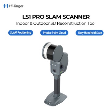
Mapping Drone
At Chengdu Zhicun Space Surveying Instrument Co., Ltd., we are proud to introduce our advanced Mapping Drone, designed to revolutionize the way industries approach aerial data acquisition. Our drone technology integrates cutting-edge RTK GPS capabilities, ensuring unparalleled precision in Drone Surveying operations. This innovation is ideal for a variety of applications, from agriculture and construction to mining and environmental monitoring. With our Aerial Survey Drone, users can easily capture high-resolution images and detailed geographical data, facilitating comprehensive analysis and decision-making. Whether you are surveying vast landscapes or conducting intricate inspections, our Mapping Drone delivers remarkable accuracy and efficiency, As global buyers seek reliable solutions for their surveying needs, Chengdu Zhicun stands at the forefront, providing not only state-of-the-art technology but also the expertise and support required to maximize operational success. Our commitment to quality and innovation ensures that our drones meet the highest international standards. By choosing our mapping solutions, you gain access to a powerful tool that enhances productivity and streamlines workflow. Embrace the future of drone surveying with our Mapping Drone, and experience the transformative impact it can have on your projects. Partner with us today to explore how our high-performance drones can elevate your surveying capabilities to new heights