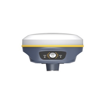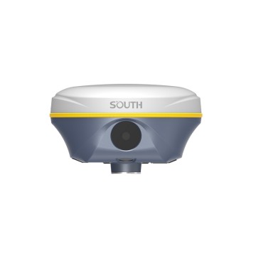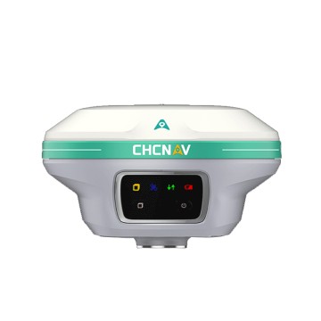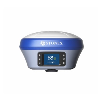

PointSky satellite RTK
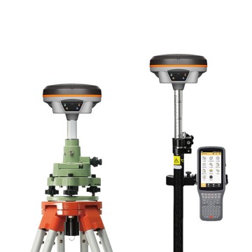
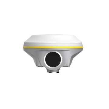
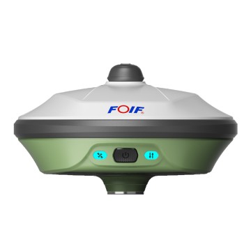
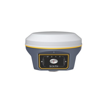
Introducing the PointSky satellite RTK, an innovative solution from Chengdu Zhicun Space Surveying Instrument Co., Ltd., designed to elevate your surveying and mapping capabilities with unparalleled precision and reliability. As a leader in the field of GNSS technology, we understand the importance of accurate data collection and analysis. The PointSky satellite RTK leverages advanced Gnss Satellite systems, providing real-time kinematic (RTK) capabilities that ensure centimeter-level accuracy for a wide range of applications, from agriculture and construction to land surveying and environmental monitoring. With our state-of-the-art Satellite Gps technology, users can expect quick setups and seamless operations, making it the ideal choice for professionals seeking efficiency and accuracy, At Chengdu Zhicun, we are committed to pushing the boundaries of satellite-driven solutions, empowering our clients with tools that enhance productivity and decision-making. The PointSky satellite RTK integrates effortlessly with existing workflows, featuring user-friendly interfaces and comprehensive support to facilitate a smooth transition to cutting-edge technology. By choosing our advanced Satellite System, you gain not just a product, but a reliable partner in your surveying ventures. Join the global market of forward-thinking professionals who have already transformed their projects with the unrivaled precision of PointSky satellite RTK—and experience the future of surveying today!