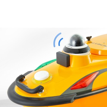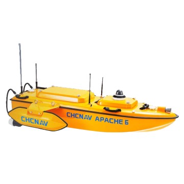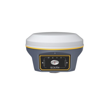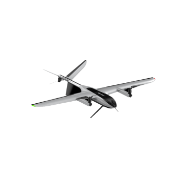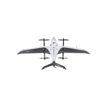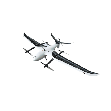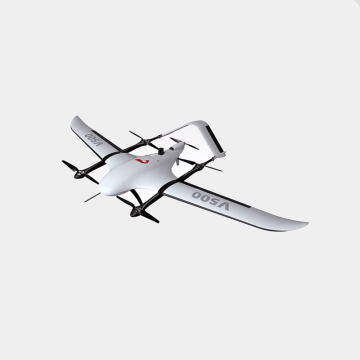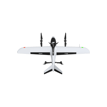

portable 3D reconstruction system
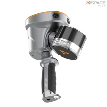
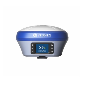
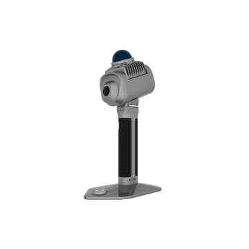
Introducing the cutting-edge Portable 3D Reconstruction System from Chengdu Zhicun Space Surveying Instrument Co., Ltd., a leader in innovative surveying solutions. Designed to meet the diverse needs of global buyers, our system seamlessly integrates advanced technology for accurate spatial data acquisition and visualization. Utilizing a Mobile Mapping System, our Portable 3D Reconstruction System captures and reconstructs three-dimensional landscapes with unmatched precision, making it ideal for applications in topography, urban planning, and environmental monitoring. This system not only enhances the efficiency of surveying projects but also facilitates real-time data analysis and collaboration, empowering users with the tools to make informed decisions, Our Portable 3D Reconstruction System is supported by sophisticated Satellite Navigation System and Glonass Gps System technology, ensuring reliable positioning and accuracy in various environments. Chengdu Zhicun Space Surveying Instrument Co., Ltd. is committed to delivering high-quality, user-friendly surveying instruments that promote innovation and productivity across multiple sectors. As we expand our footprint in the global market, we invite buyers seeking reliable and state-of-the-art surveying solutions to explore the opportunities offered by our Portable 3D Reconstruction System. Join us in redefining surveying standards and unlocking new possibilities in spatial data collection and analysis