




Stonex S3 AR GNSS RTK Receiver - UHF Radio, Full Tracking, Tilt Survey
Key Features
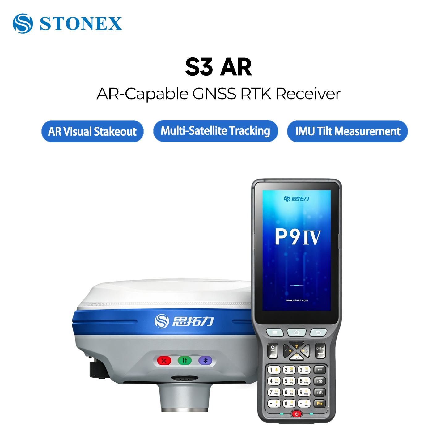
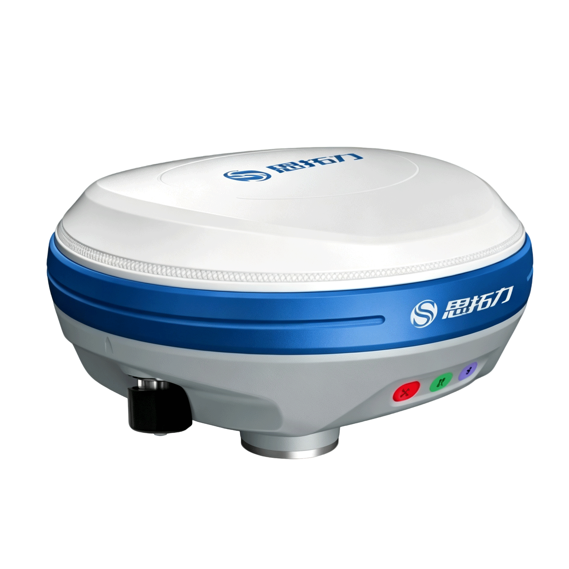
Compact magnesium‑alloy RTK rover with AR stakeout and high‑angle IMU tilt survey for efficient field survey jobs
1408 Multi‑Constellation Channels
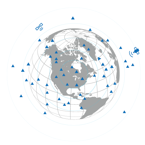
Track GPS, GLONASS, BeiDou‑2/3, Galileo, QZSS, SBAS & L‑Band signals. Stable positioning under complex canopy & urban canyon.
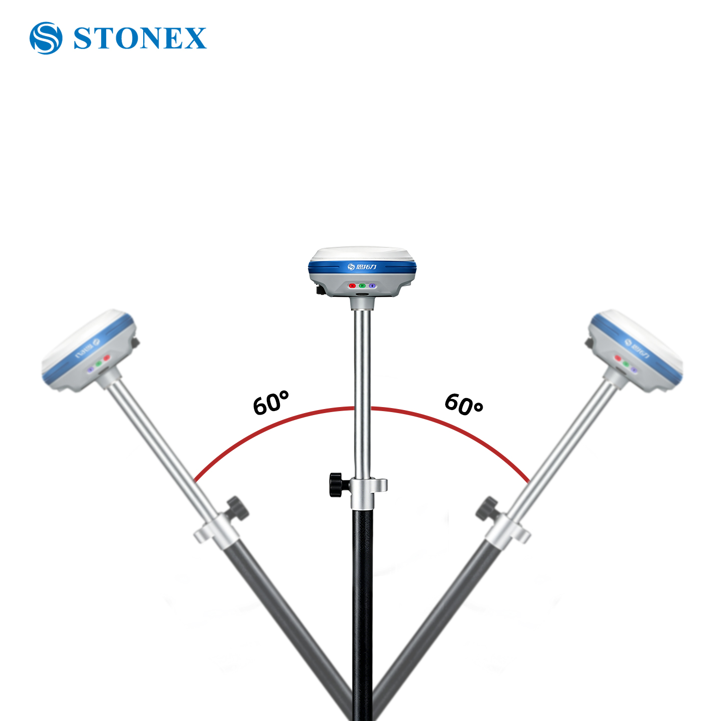
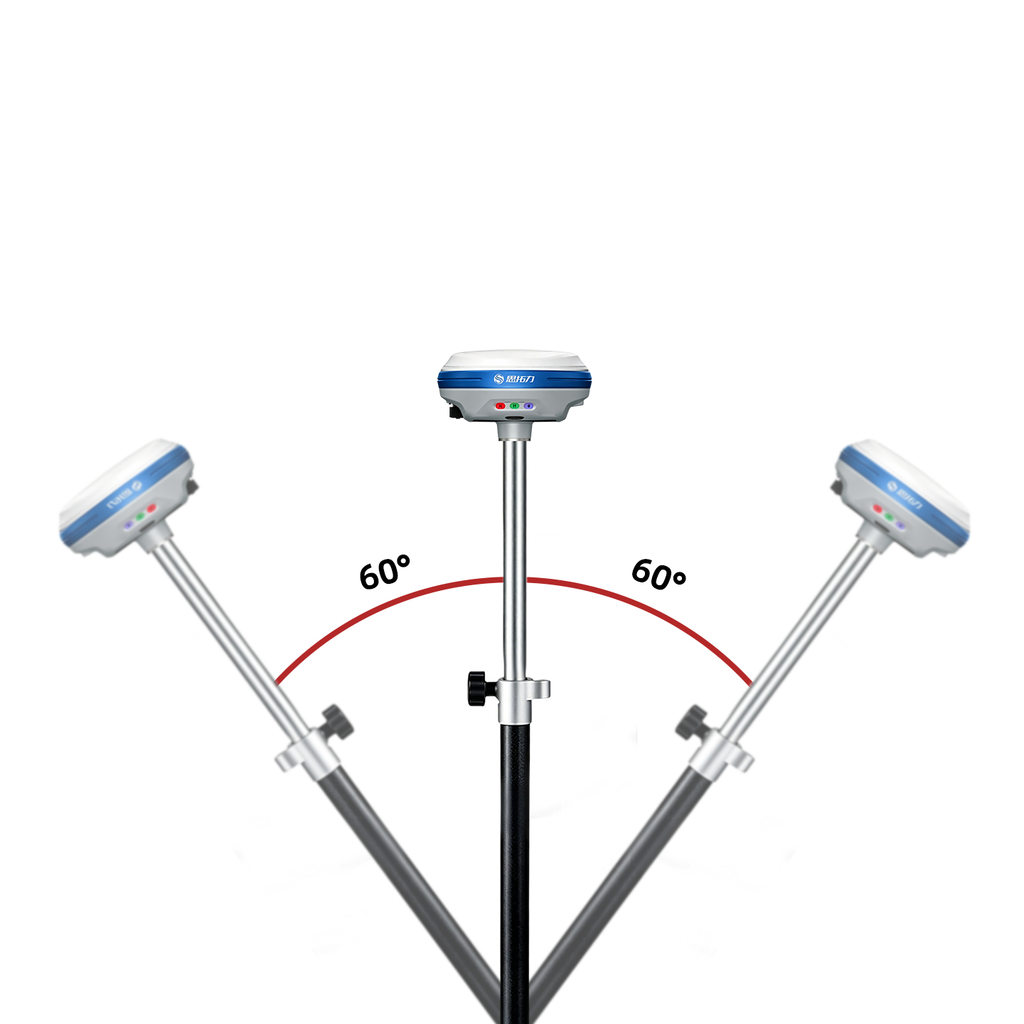
70° IMU Tilt Survey
High‑precision inertial compensation up to 70‑degree tilt, measure points even when pole cannot stand vertically.
AR Visual Stakeout
On‑board camera for augmented reality stakeout, visualize design points directly on live camera view, simplify layout work.
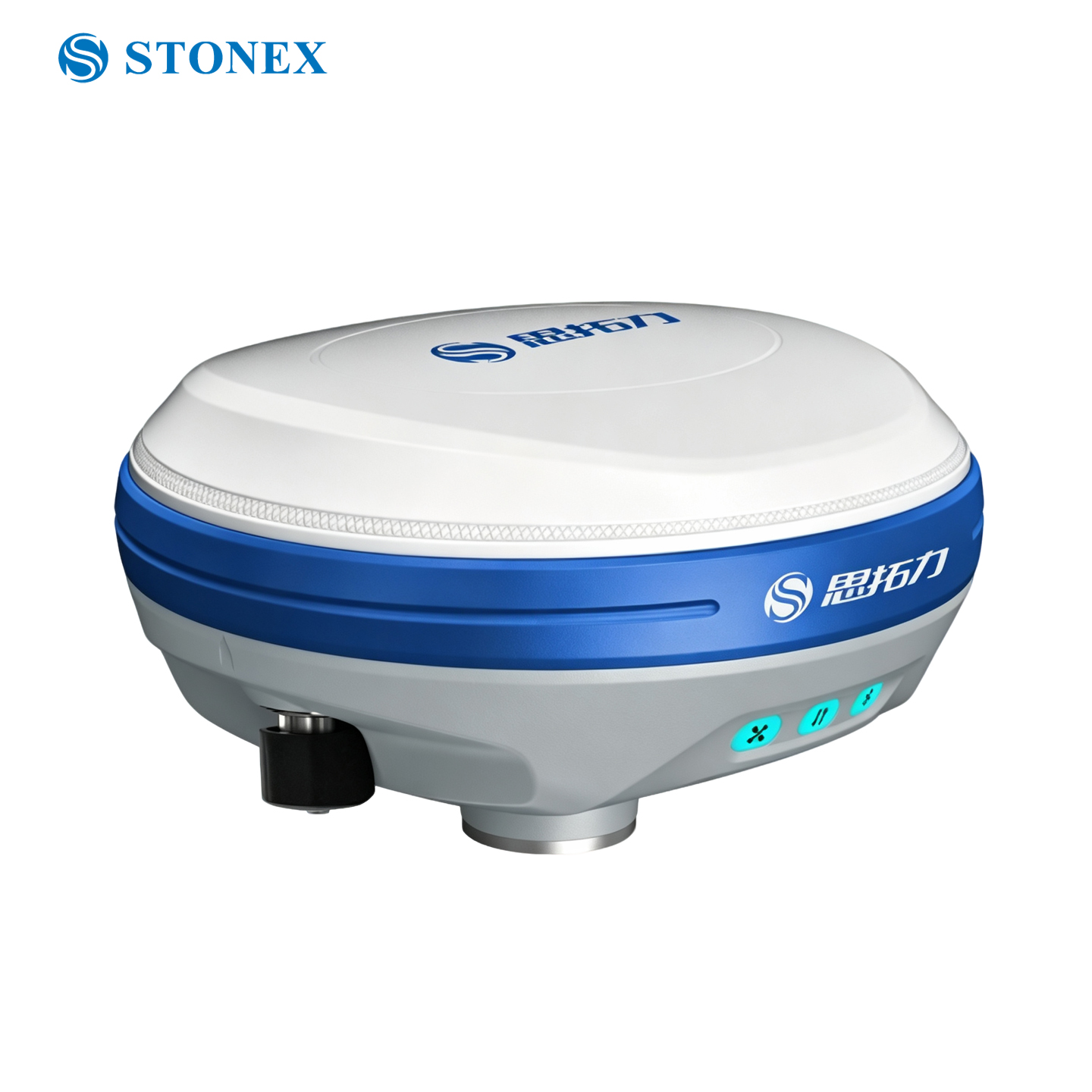
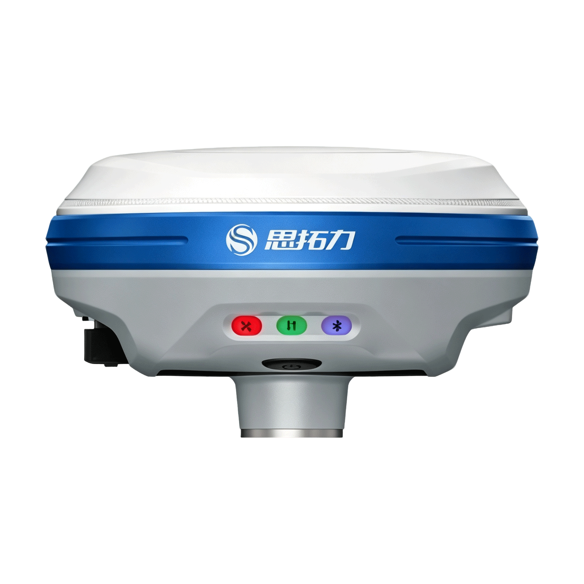
Light‑weight Magnesium‑alloy Body
Only 513g weight, magnesium alloy housing, light, rigid and durable for long‑time field holding.
Built‑In UHF Radio
410‑470MHz internal radio, support multi‑brand survey protocols, long‑range RTK communication without external radio module.
IP67 Rugged Protection
IP67 dust‑proof & waterproof, wide working temperature ‑30℃ ~ +60℃, survive rainy, dusty and harsh construction‑site environment.
Efficient Visual RTK Survey Solution
S3‑AR brings AR visualization & large‑angle tilt measurement for modern surveying & layout projects
Stonex S3‑AR GNSS RTK Rover
S3‑AR is a lightweight survey‑grade GNSS rover equipped with IMU tilt compensation and AR visual stakeout camera. Magnesium alloy body keeps weight low while maintaining mechanical strength for field abuse.
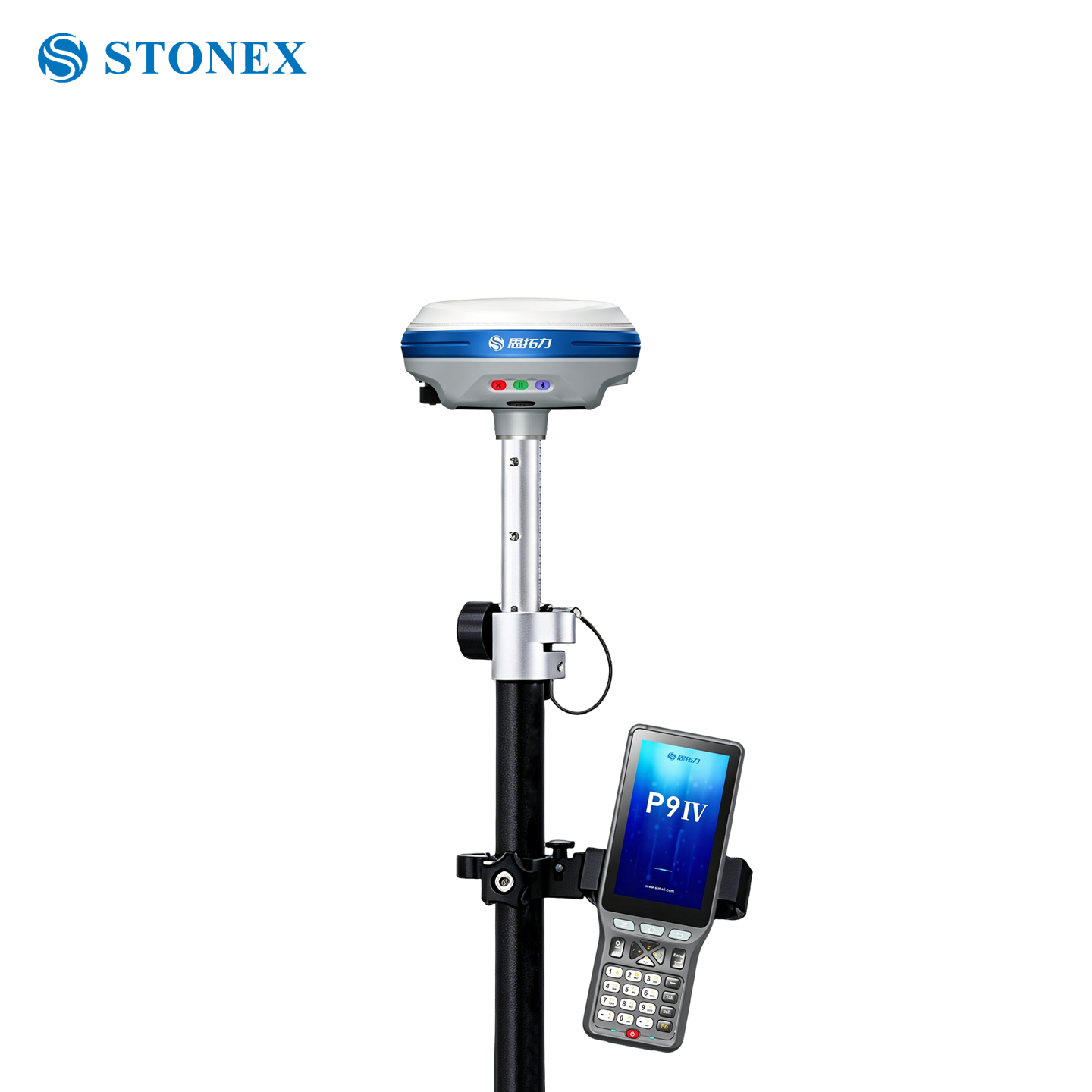
Support full‑constellation tracking, built‑in UHF radio, Bluetooth & Wi‑Fi. Works perfectly with Stonex series field controllers and SurPad survey software.
Core Performance Features
All‑Constellation Full‑Frequency Points · Fast Lock
Equipped with high‑performance, high‑precision GNSS SoC chip board, ensuring signal reception quality. Supports BeiDou, GPS, GLONASS, Galileo, QZSS full‑constellation & full‑frequency GNSS satellite signals for fast acquisition, locking and processing of GNSS satellite signals.
AR On‑site Stakeout for One‑step Workflow
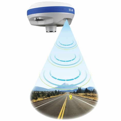
Dual‑AR visualization on both host unit and field controller. RTK‑imagery fusion overlays stakeout points on real‑scene view for intuitive point‑finding. Satellite‑INS‑vision fusion algorithm mitigates electromagnetic interference to deliver accurate stakeout.
Built‑in Transceiver UHF Radio
3‑5 km typical range, supports major RTK protocols. Works as rover or base station without external radio.
4th‑Gen IMU Tilt Survey
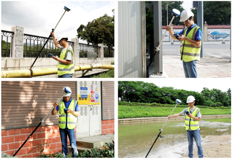
4th‑generation IMU tilt measurement technology, anti‑electromagnetic interference. No bubble centering required, measure immediately after setting up pole. Supports walking stakeout with reliable measurement accuracy.
Operation efficiency increased by 50%
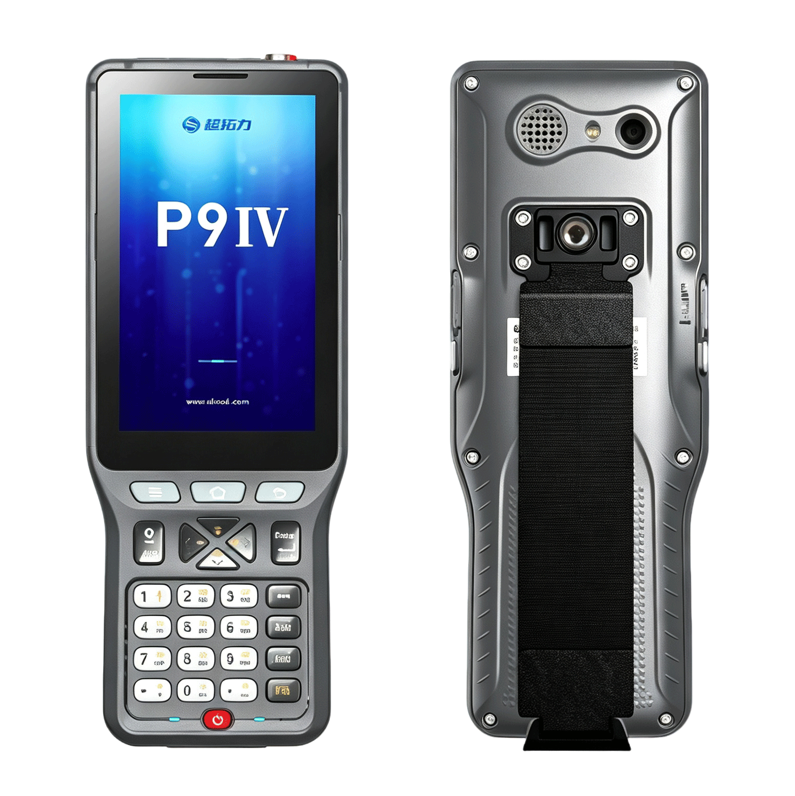
P9IV Digital Keyboard Android Controller
High‑performance field controller with large physical numeric keypad, sunlight‑readable display and ultra‑low power consumption. Standby time up to 36 hours, ergonomic 9‑key numeric layout brings better comfort for survey field work.
Core Advantages
Professional Survey Software SurPad 4.2
Professional survey software SurPad 4.2 meets diverse stakeout‑job requirements, including road construction, power‑line survey, site leveling control, CAD application and railway stakeout, greatly improving engineering survey efficiency.
Route Construction Stakeout
For route engineering, water conservancy & water‑supply construction projects
Power‑line Survey
Complete power‑route selection, survey design & tower foundation section measurement
Site Elevation Control
Site leveling & garden elevation design, real‑time cut‑fill display
CAD Application
CAD import & editing, directly import drawings for route‑construction stakeout
Why Choose Stonex S3‑AR
Cost‑effective visual RTK rover for modern survey workflow
70° Large‑Angle IMU Tilt
Measure points when survey pole is tilted, greatly improve field efficiency.
AR Camera Visual Stakeout
Overlay design points onto real‑world camera view, intuitive layout operation.
Light‑Weight Magnesium‑Alloy
513g compact rover, reduce arm fatigue for all‑day field work.
IP67 Wide‑Temperature Design
Reliable performance under extreme temperature, rain and dust construction‑site conditions.
Technical Specifications
Official datasheet for Stonex S3‑AR GNSS Receiver
| Item | S3‑AR GNSS Receiver |
|---|---|
| Channels | 1408 multi‑constellation channels |
| Supported Constellations | GPS, GLONASS, BeiDou‑2/3, Galileo, QZSS, SBAS, L‑Band |
| Static Horizontal Accuracy | 2.5 mm + 0.5 ppm RMS |
| Static Vertical Accuracy | 5 mm + 0.5 ppm RMS |
| RTK Horizontal Accuracy | 8 mm + 1 ppm RMS |
| RTK Vertical Accuracy | 15 mm + 1 ppm RMS |
| IMU Tilt Angle | 0‑70° tilt compensation, 400Hz update rate |
| Weight | 513g (magnesium‑alloy housing) |
| Radio Frequency | 410‑470MHz built‑in UHF radio |
| Protection Grade | IP68 |
| Operating Temperature | ‑30℃ ~ +60℃ |
| Interfaces | Bluetooth, Wi‑Fi, UHF Radio |
Applications
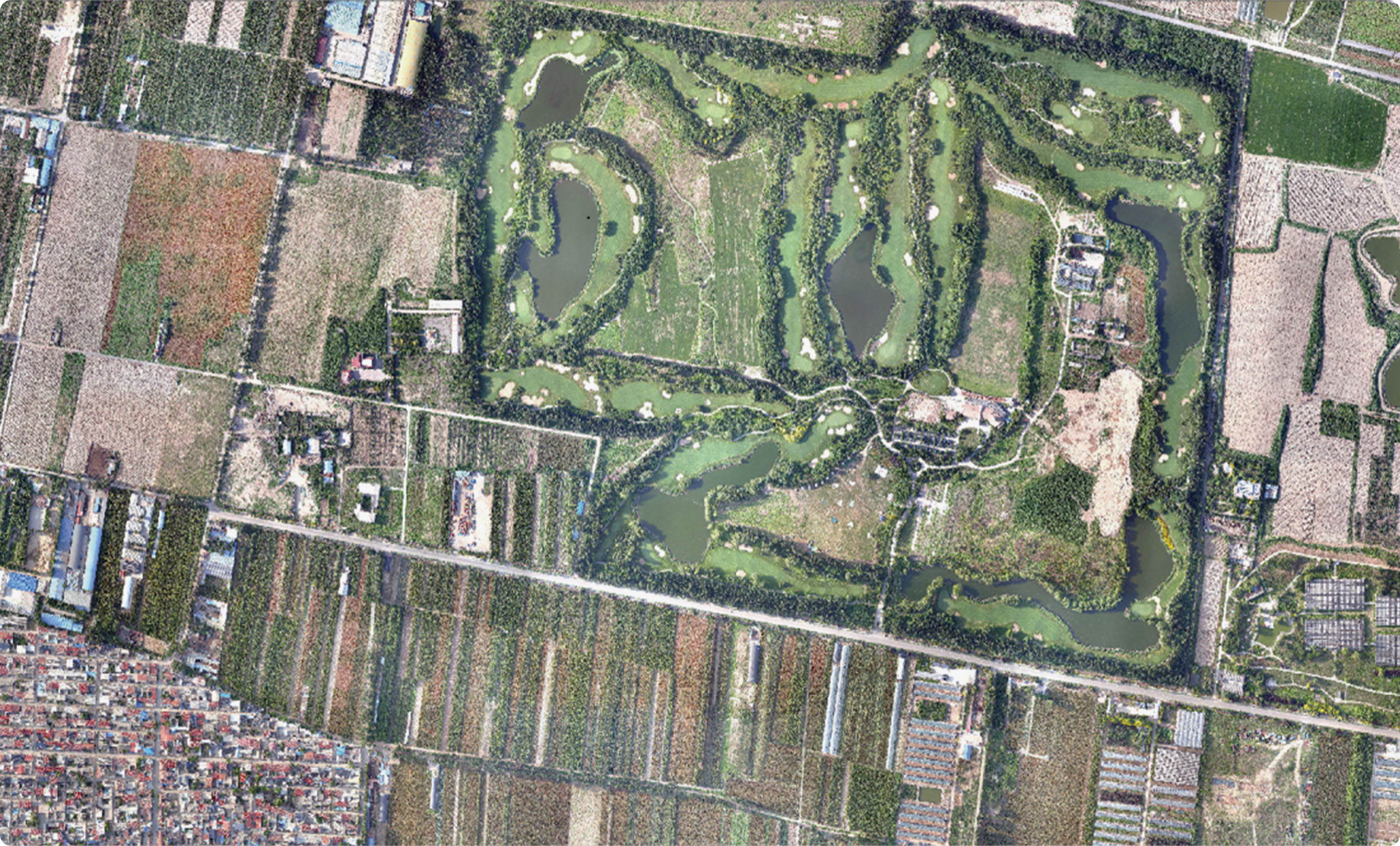
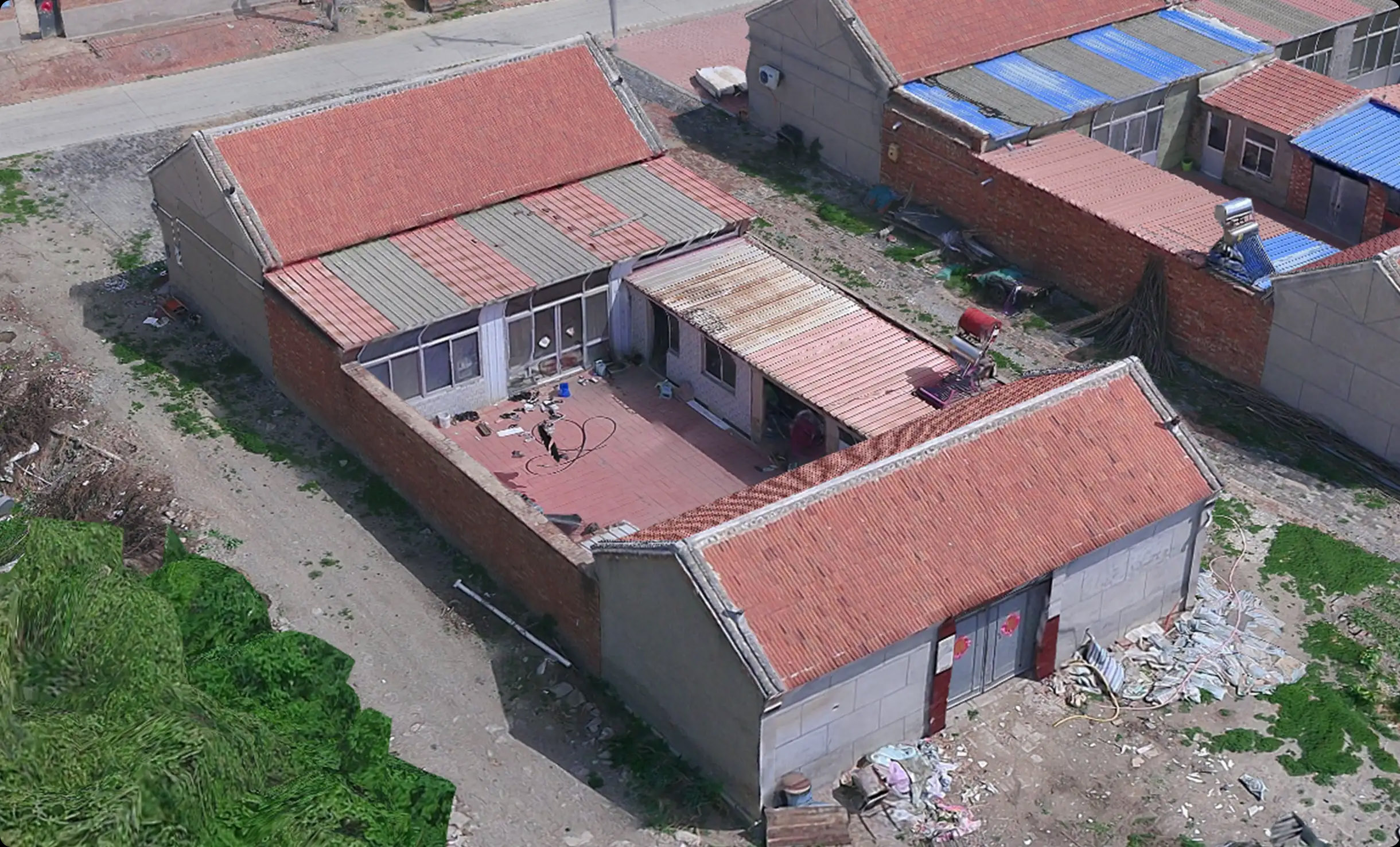
Wide range of professional survey application scenarios






Stonex S3 AR Technical Specifications
GNSS Performance
| Tracking Features | BDS: B1I/B2I/B3I/B1C/B2a/B2b GPS: L1C/A/L2P (Y)/L2C/L5 GLONASS: L1/L2 Galileo: E1/E5a/E5b/E6* QZSS: L1/L2/L5/L6* Support SBAS: WAAS/GAGAN/MSAS/EGNOS/SDCM/BDS |
| Resuming Observation | Supported |
Accuracy Indicators
| Static Survey | Horizontal: ±(2.5+0.5×10⁻⁶D) mm Vertical: ±(5+0.5×10⁻⁶D) mm |
| RTK Survey | Horizontal: ±(8+1×10⁻⁶D) mm Vertical: ±(15+1×10⁻⁶D) mm |
IMU Measurement
| Compensation Accuracy | 8mm+0.3mm/°tilt (accuracy<2cm within 30°) |
| Compensation Angle | 0 ~ 70° |
| IMU Update Rate | 400Hz |
Internal UHF Radio
| Communication Protocols | Full‑protocol support: TrimTalk 450s, TrimTalk(4800), TrimMarkIII, SOUTH(9600 19200), PCC‑GMSK, PCC‑4FSK, PCCFST, PCCFST_ADL, PCC‑EOT, Hitarget(9600 19200), Geotalk, GeoMark, Satel, Satel_ADL, HZSZ etc. Interoperable with global brand radios. |
| Frequency | 410 ~ 470MHz, freely switchable |
| Channel Quantity | 7+2400 (7 fixed channels + 2400 user‑defined channels) |
Physical Characteristics
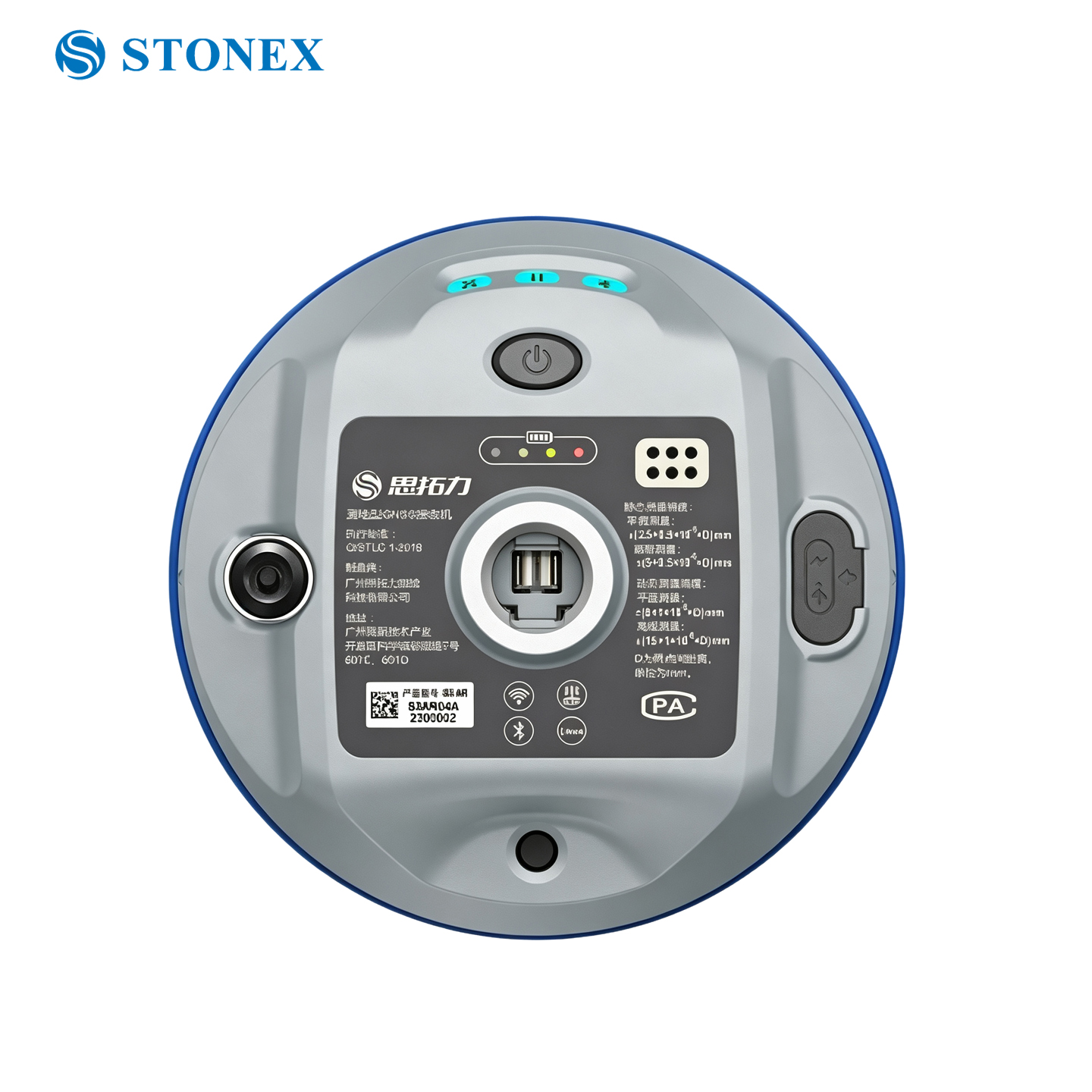
| Keys | 1 multi‑function power key |
| LED Indicators | Satellite lamp, data link lamp, Bluetooth lamp, battery level indicator |
| Dimensions | 120mm × 71.5mm |
| Weight | 513g |
| Housing Material | Magnesium‑alloy housing |
Environmental Performance
| Operating Temperature | ‑30℃ ~ 60℃ |
| Storage Temperature | ‑40℃ ~ 80℃ |
| Ingress Protection | IP68 |
| Drop Resistance | 2‑meter pole drop on hardwood surface; 1.2‑meter free‑fall |
| Humidity | Resist 99.9% condensation |
Imaging
| Pixel | 2MP |
| Frame Rate | 25Hz |
| Field of View | FOV 88° |
System Platform
| Operating System | Industrial‑grade Linux OS |
| On‑board Storage | 16GB on‑board |
| Bluetooth | BT 5.0, backward compatible with BLE low‑energy mode |
| Wi‑Fi | IEEE 802.11 a/b/g/n/ac |
Data Interfaces
| TNC Port | For internal radio antenna connection |
| Type‑C | Direct charging & data transmission |
Electrical Performance
| Battery | Built‑in non‑removable smart Li‑ion battery, 10000mAh, 3.65V |
| Working Hours | 20h(static mode); 16h(rover mode) |
Controller (P9IV) Basic Parameters
| Model | P9IV |
| Processor | High‑performance Octa‑core 2.0G |
| Operating System | Android 11 |
| Display | 5.0‑inch high‑definition touch screen |
| Camera | 13MP auto‑focus camera with flashlight |
| RAM | 3GB LPDDR4X |
| Storage | 32GB on‑board, TF‑card expandable(max 512G) |
| Sensors | Electronic compass, electronic bubble, gravity sensor (standard) |
| Mobile Network | 4G full‑netcom (China Mobile / Telecom / Unicom) |
| Wi‑Fi | 2.4G/5G, 802.11 ac/a/b/g/n |
| Bluetooth | BT2.1+EDR/3.0/4.1/4.2/5.0 BLE |
| Handheld Battery | 6400mAh non‑removable Li‑ion battery, 3.85V, 20‑hour runtime |
| Ingress Protection | IP68 |
| Drop Resistance | 2‑meter pole drop |
| Operating Temperature | ‑30℃ ~ 60℃ |
| Storage Temperature | ‑40℃ ~ 80℃ |
Disclaimer: Technical specifications subject to change without prior notice, subject to actual product.
(* Note: Some signals marked with asterisk are temporarily unsupported by current firmware; support schedule to be confirmed.)