High Precision Meets Maximum Budget Efficiency
Why pay double for overloaded enterprise features you never touch in everyday operations? The Stonex S999 GNSS RTK delivers industrial-grade fixed baseline precision, intuitive dual-camera visual assistance, and high-frequency IMU tilt compensation directly tailored for small-to-medium field surveying crews.
Calibration-Free 60° IMU Tilt
Eliminate bubble leveling completely. Measure fence lines, building corners, building eaves, and deep drainage shafts effortlessly. The 60° IMU inertial navigation unit initializes in under 5 seconds and stays immune to electromagnetic interference.
Dual-Camera Visual Stakeout
Integrates bottom and forward optical cameras to superimpose stakeout points onto real-world live video streams. Cut stakeout point acquisition time by over 40% in complex urban reconstruction, pipeline paths, and road infrastructure projects.
Sufficient, Practical & Cost-Saving
Avoid exorbitant licensing and bloated hardware costs. S999 gives mid-sized land survey teams everything essential: robust fix rates under tree canopies, multi-protocol internal UHF radio, and seamless integration with SurPad / SurvCE software.
Rock-Solid RTK Performance in Challenging Environments
Equipped with a cutting-edge 1408-channel GNSS engine, the Stonex S999 tracks all current and planned constellations simultaneously: GPS, GLONASS, BeiDou (B1I, B2I, B3I, B1C, B2a, B2b), Galileo (E1, E5a, E5b, E6), QZSS, and SBAS.
Whether surveying inside dense suburban canopy cover, tight urban street canyons, or rugged mountain terrains, the advanced anti-multipath tracking algorithms maintain millimeter-level carrier phase precision and instant RTK fix recovery within 1.5 seconds after signal obstruction.
Comprehensive GNSS Signal Matrix
- GPS: L1 C/A, L1C, L2P, L2C, L5
- GLONASS: G1, G2, G3
- BeiDou (BDS): B1I, B2I, B3I, B1C, B2a, B2b, ACEB
- Galileo: E1, E5a, E5b, E6, AltBOC
- QZSS & NavIC: L1, L2, L5
- SBAS: WAAS, EGNOS, MSAS, GAGAN, SDCM
- Initialization Time: < 5 seconds (Reliability > 99.99%)
Stonex S999 vs. Ultra-High-End AR RTK Systems
For over 90% of daily land surveying, cadastral boundary verification, and earthwork calculations, flagship AR receivers with $12,000+ price tags represent unnecessary over-engineering. See how the Stonex S999 balances features, reliability, and cost.
| Evaluation Metric | Stonex S999 GNSS RTK (Smart Choice) | High-End Enterprise AR RTK ($12k+) | Traditional Standard RTK (No Camera/IMU) |
|---|---|---|---|
| IMU Tilt Survey | 60° Calibration-Free (Instant, <2.5cm) | 60° - 90° Calibration-Free | No Tilt or Magnetometer (Requires Leveling) |
| Stakeout Guidance | Dual-Camera Visual Overlay (Fast & Accurate) | 3D AR Holographic Video Overlay + Modeling | Compass Arrow / Digital Numeric Only |
| Purchase Cost | Economical / High ROI ($2,500 - $4,500) | Very High ($10,000 - $16,000) | Low-to-Moderate ($2,000 - $3,200) |
| Learning Curve | Minimal (Surveyor ready in 15 mins) | Steep (Requires complex 3D software training) | Standard |
| Battery Runtime | 15+ Hours Continuous Rover Work | 6 - 9 Hours (Camera & GPU heavy draw) | 10 - 12 Hours |
| Field Suitability | Cadastral, Earthworks, Daily Engineering | Ultra-high-budget BIM & Architectural Modeling | Basic Open-Sky Boundary Points |
Designed for Daily Practical Field Challenges
Explore how surveying teams deploy the Stonex S999 to speed up workflows across cadastral parcel surveys, earthwork cut-and-fill volumetrics, and municipal utility installations.
Cadastral & Boundary Survey
Obscured boundary markers near walls, trees, or fences can be measured without centering the pole. The IMU tilt sensor calculates real coordinates instantly, reducing setup time per marker from minutes to seconds.
Earthwork Volume & Topography
Quickly gather thousands of topographical elevation points across open mining pits, stockpiles, and embankment slopes. Seamlessly export XYZ coordinate data into AutoCAD, Civil 3D, or ArcGIS for volume computation.
Utility & Municipal Stakeout
The live dual-camera screen overlay points straight to the target location on the ground. Eliminates surveyor hesitation, backtracking, and confusion when marking underground water pipes, gas lines, and manholes.
Chengdu Zhicun Space Surveying Instrument Co., Ltd.
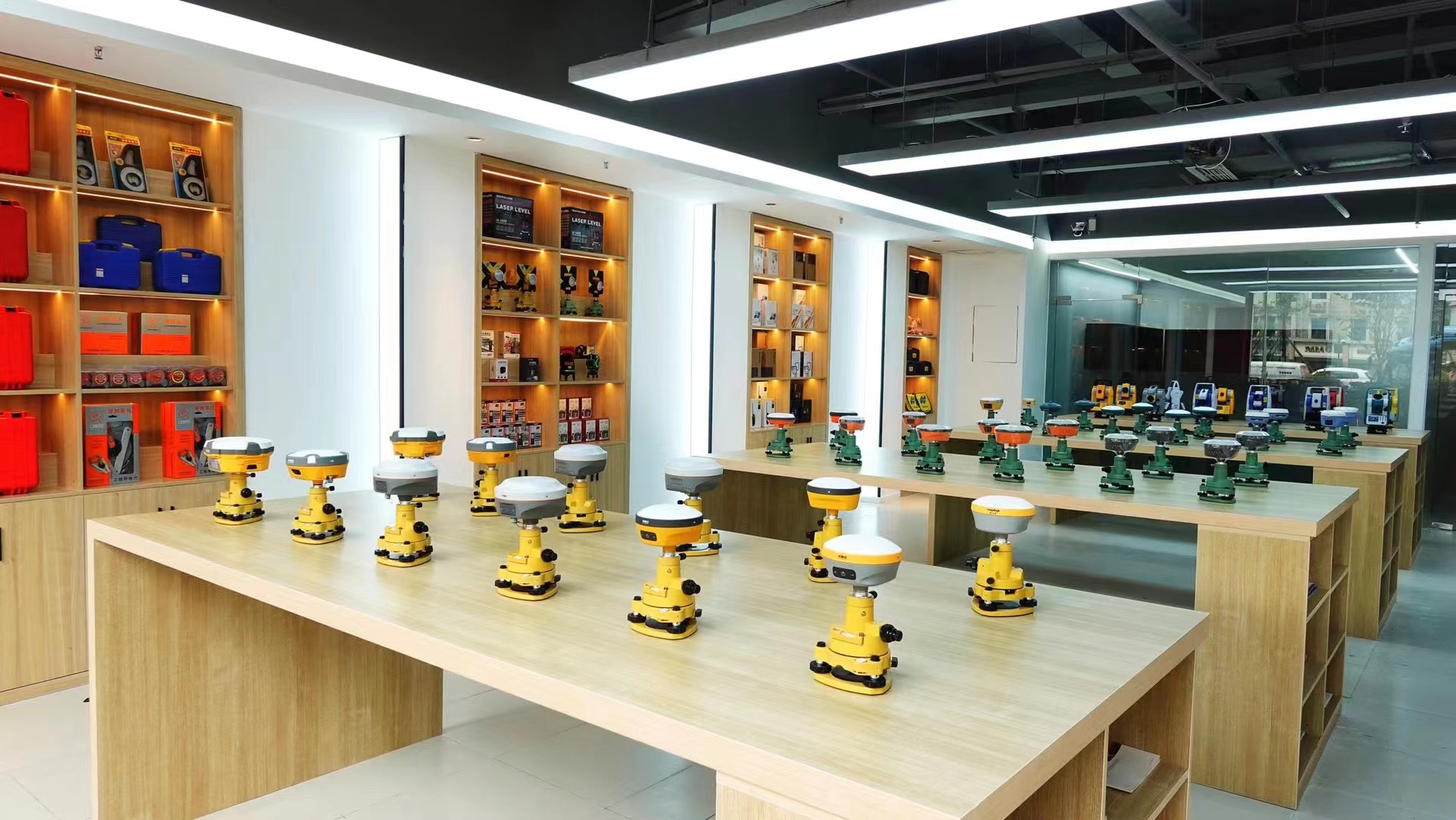
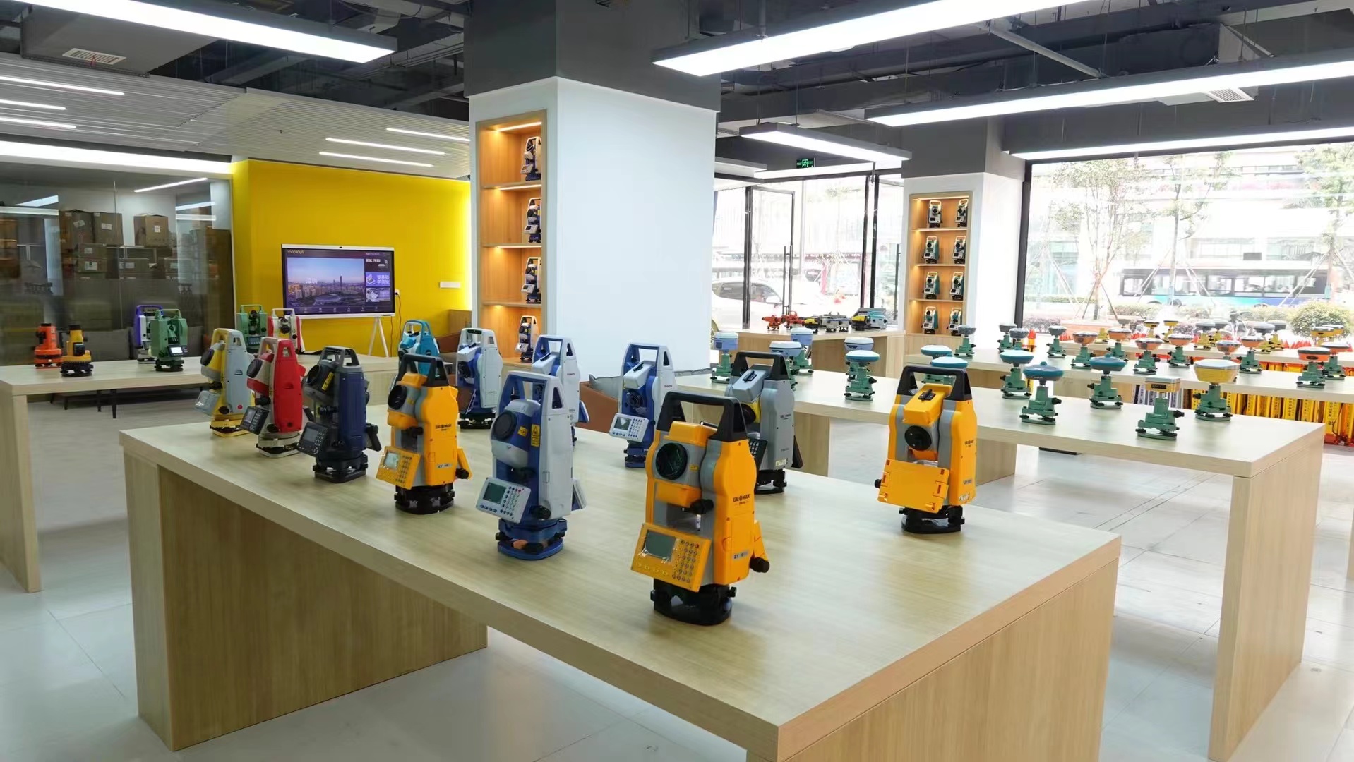
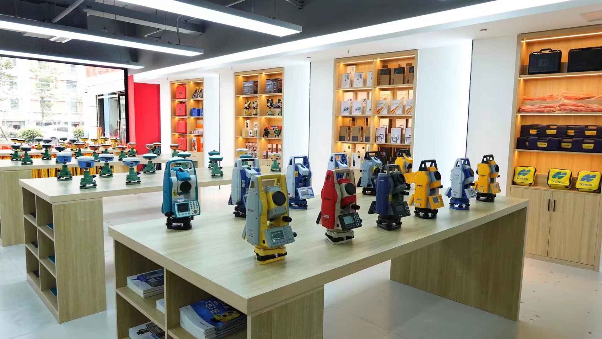
Chengdu Zhicun Space Surveying Instrument Co., Ltd. is located in Jinniu District, Chengdu City, Sichuan Province. It is a professional measurement equipment supplier that integrates the sales, service, and technical support of surveying instruments. Since its establishment, the company has always adhered to the business philosophy of "professionalism, precision, efficiency, and service", and is committed to providing comprehensive and advanced measurement solutions for the surveying and mapping industry.
As a professional measurement equipment supplier, Chengdu Zhicun Space Surveying and Mapping Instrument Co., Ltd. has a wide product line, covering well-known domestic and foreign brands of total stations, RTK (Real Time Dynamic Differential) systems, theodolites, levels, gyroscopes, depth sounders, laser rangefinders, laser plummets, laser marking instruments, and other conventional measuring instruments, as well as non-destructive testing instruments such as floor thickness measuring instruments, crack width (depth) testers, pipeline detectors, etc. In addition, the company also acts as an agent for the sales of high-end technology products such as 3D laser scanners, unmanned aerial vehicle (UAV) systems, GPS/RTK (GNSS) positioning systems, and GIS handheld GPS satellite receivers.
Growth and Innovation in Surveying
Delivering unmatched technical backing and end-to-end support services for geospatial surveyors nationwide.
01. Company Resilience and Growth
Our salespersons and technicians have gone through years of ups and downs and persevered, and have grown into a well-known company in the sales of surveying instruments both domestically and internationally. The registered capital of the company is 5 million yuan, and in recent years, the company has undergone continuous modernization and development.
02. Diverse Product Range & Brand Partnerships
At present, our company has customized products such as total stations, RTK/GNSS, leveling instruments, and surveying accessories, and also has several domestic and foreign surveying instrument brand agents, ensuring our customers always get authentic, factory-warranted instruments.
Our Professional Services & Support Guarantee
Comprehensive Surveying and Mapping Services
In terms of technical services, the company gathers multiple professionals in the surveying and mapping industry to provide comprehensive services such as instrument maintenance, calibration, leasing, trade-in, technical consulting, software cooperation and development, system solutions, and undertaking measurement business.
Comprehensive Support and Warranty for Instruments
All instruments come with a two-year warranty, seven-day free returns and exchanges, and on-site training and technical support are provided to ensure that customers can fully utilize the equipment and improve work efficiency.
Field-Tested Durability & Specifications
Built with an ultra-lightweight magnesium alloy chassis capable of withstanding rough everyday handling, continuous rain, and dusty construction job sites.
Battery & Power Architecture
High-capacity internal lithium-ion pack delivering over 15 hours of continuous rover operation on a single charge.
- • USB Type-C fast-charging support
- • Power bank charging compatibility in the field
- • Smart power management IC with sleep mode
Connectivity & Radio Protocols
Built-in multi-protocol transceiver radio (410-470 MHz) with selectable transmission power up to 2W.
- • Supports TrimTalk450S, TrimMark3, SOUTH, Farlink
- • Full 4G LTE worldwide network cellular modem
- • Dual-mode Bluetooth 5.0 and Wi-Fi Web UI management
Environmental Ratings
Designed for IP68 dust and water immersion up to 1 meter depth for 30 minutes.
- • 2-meter natural drop onto hard concrete
- • Operating temp: -40°C to +65°C (-40°F to 149°F)
- • 100% condensation-proof magnesium body
Everything You Need to Know About the Stonex S999
Traditional bubble leveling requires the surveyor to hold the pole strictly vertical, consuming 15-30 seconds per point. With the Stonex S999's 60° IMU compensation, you simply place the tip on the target and shoot. The sensor automatically corrects coordinates based on the pole's tilt angle and orientation, accelerating overall daily survey point collection by up to 30-50%.
Yes. The Stonex S999 fully supports standard NTRIP protocols, RTCM 2.x, 3.x, and CMR differential formats. It connects seamlessly to public/private CORS networks. Field data controllers running SurPad, FieldGenius, SurvCE, or LandStar can control the S999 via Bluetooth without proprietary lock-in.
Ultra-high-end AR units carry substantial software and hardware markups for complex 3D meshing features that typical boundary, cadastral, and earthwork surveyors rarely use. The S999 delivers essential visual stakeout guidance, reliable 60° IMU compensation, and centimeter accuracy at less than half the investment cost, providing faster ROI and lower insurance/replacement risk in the field.