-
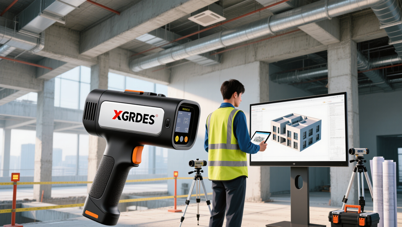
Handheld LiDAR for Building As-Built Documentation: XGRIDS Lixel K2 Field Guide
-
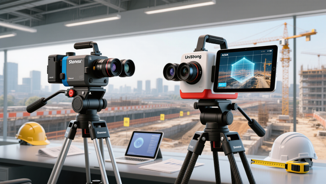
Dual Camera RTK: Stonex S999 Photogrammetry vs UniStrong G950AR AR Overlay
-
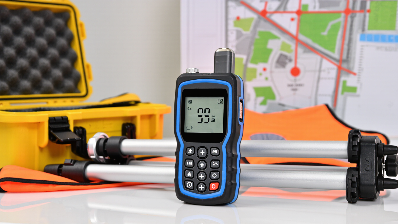
Stonex S999 GNSS RTK: Cost‑Effective IMU Tilt Receiver for Daily Land Survey
-
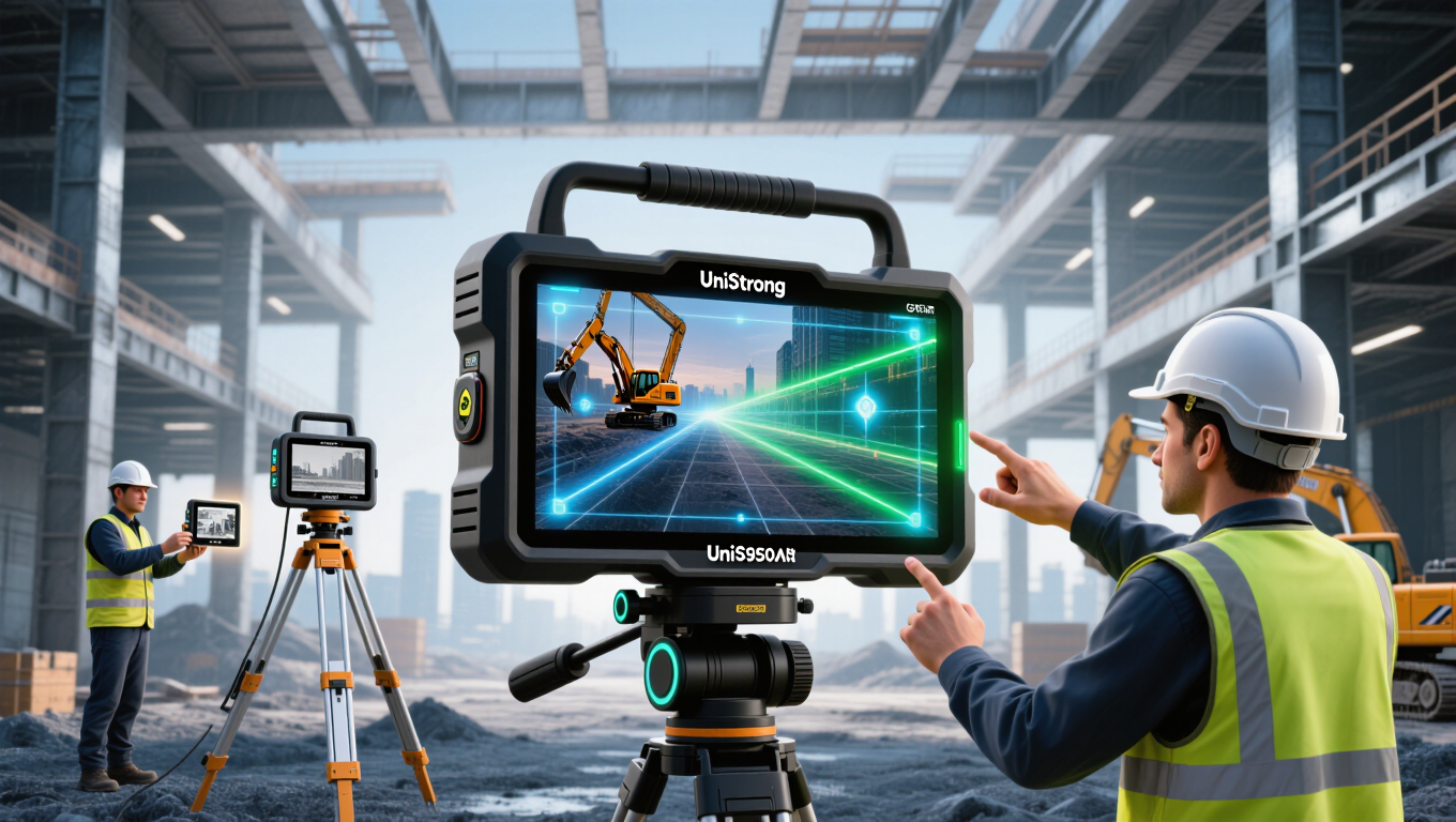
UniStrong G950AR vs Traditional GNSS RTK: AR Visualization Changes Site Stakeout
-
Feima D5000 Multirotor Survey Drone: High Precision Inspection for Small & Complex Construction Sites

-
XGRIDS Lixel L3 for Scan‑to‑BIM: Fast As‑Built Data Capture for Construction Projects

-
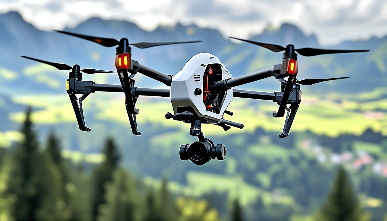
Multirotor vs VTOL Survey Drone: How to Choose Feima D5000 or V500 for Your Project
-
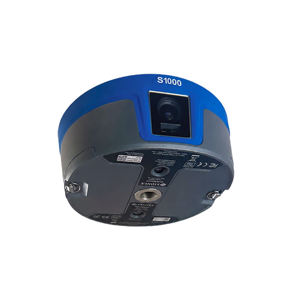
1408 Channel GNSS Receiver: Why Stonex S1000 Outperforms Ordinary RTK in Complex Survey
-
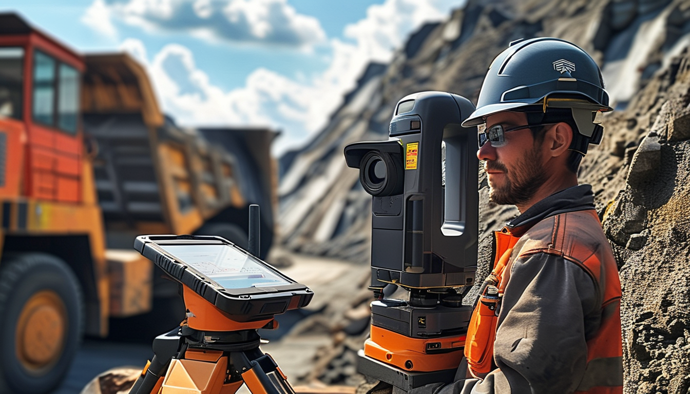
How to Calculate Stockpile Volume Rapidly Using Handheld SLAM LiDAR in Mining Sites
-
Underwater & Shallow‑Water Survey: Complete Workflow with Survey USV Unmanned Surface Vessel

-
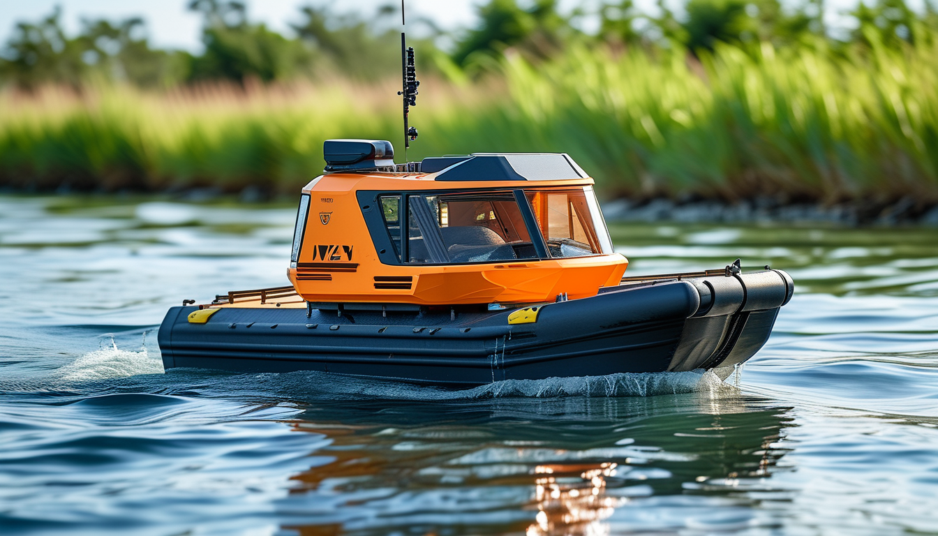
Hydrographic Survey: Unmanned Survey Boat (USV) vs Traditional Manual Boat Survey
-
Best Budget GNSS RTK Receiver 2026: Stonex vs Hi‑Target vs COMNAV Field Comparison
-
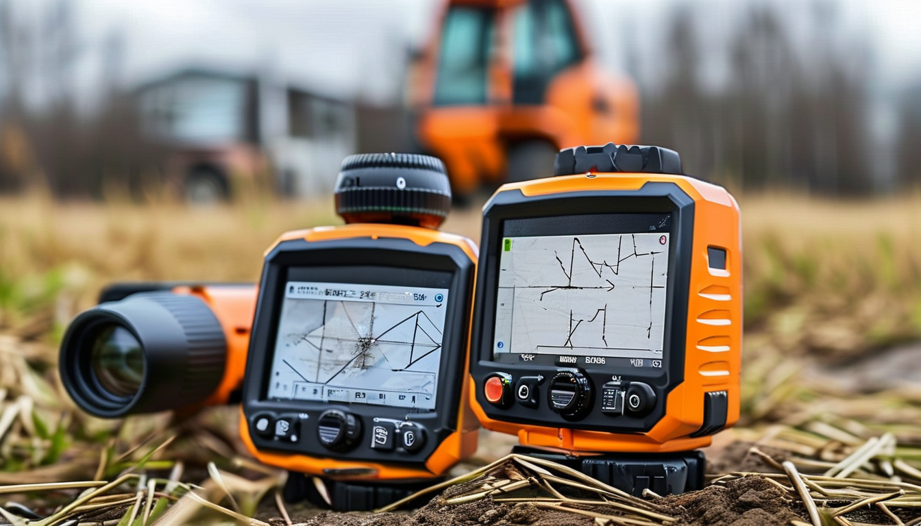
How to Choose the Best RTK GNSS Receiver for Topographic Surveying in 2026
-
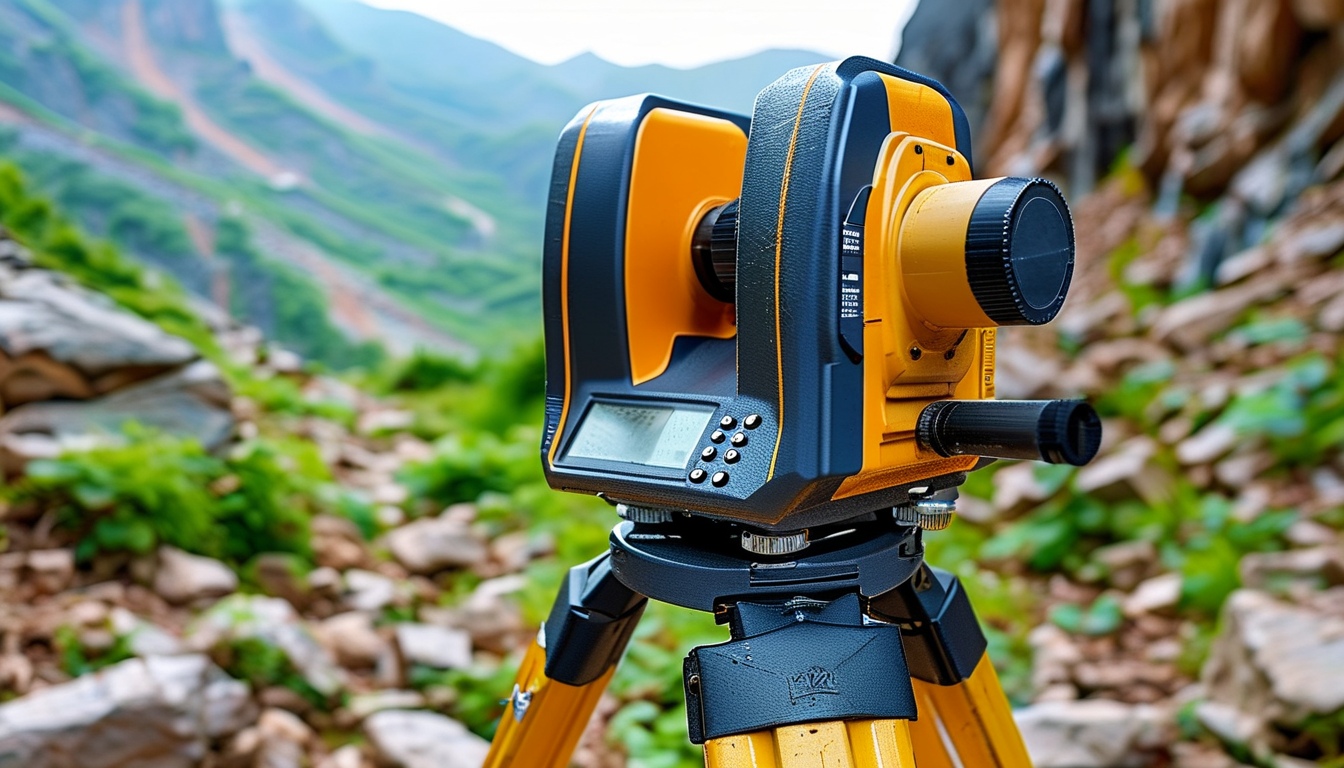
Total Station vs. RTK GPS: Which One Do You Need for Your Next Surveying Project?
-
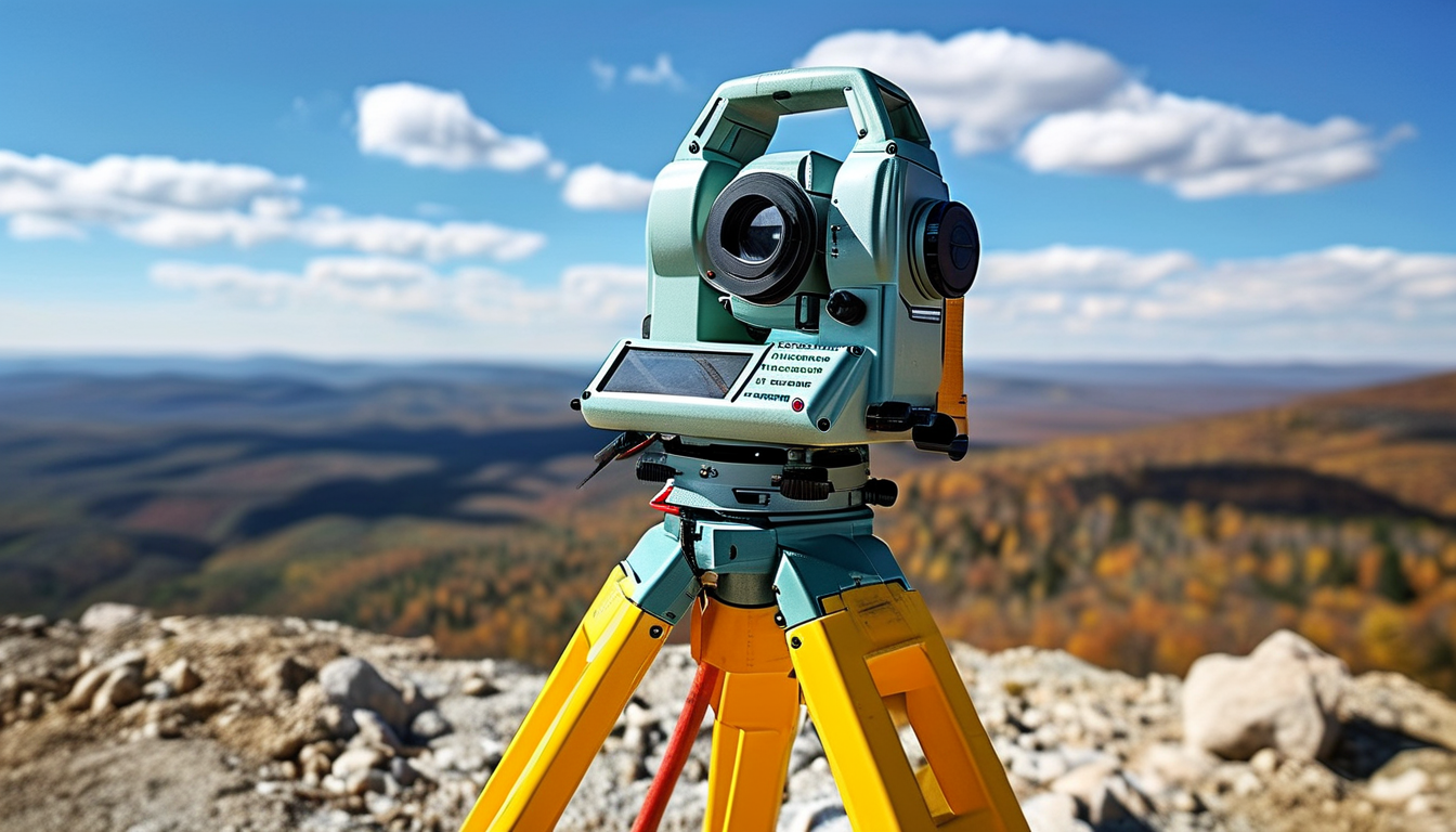
How to Choose the Right Measurement Instrument: A Complete Buyer’s Guide (2026 Edition)
-
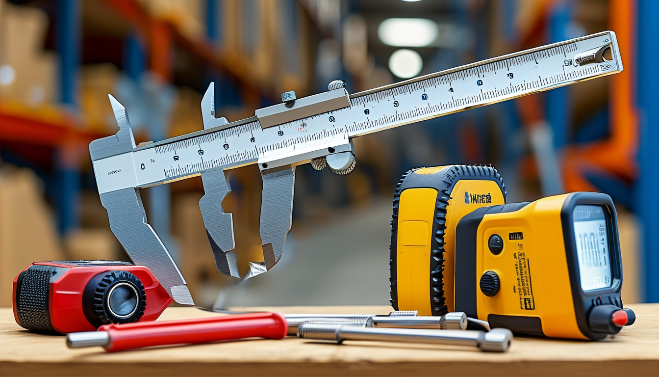
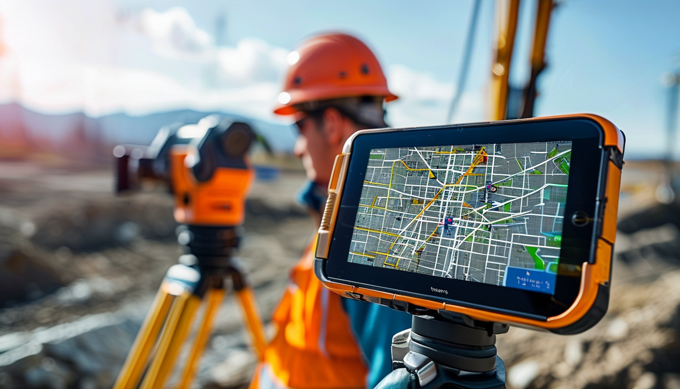
Visual RTK & AR Stakeout: How Camera-Integrated GNSS Enhances Surveying
-
How 3D Laser Scanning (LiDAR) is Transforming BIM and Heritage Preservation

-
Total Station vs. RTK GNSS: Which Surveying Tool Do You Need?

-
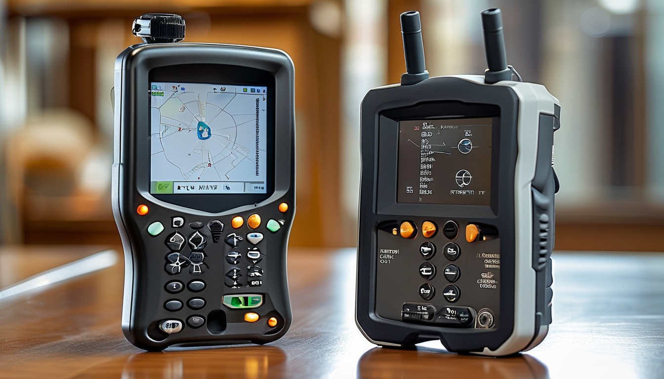
How to Choose a Reliable RTK GNSS Receiver Manufacturer in China?
-
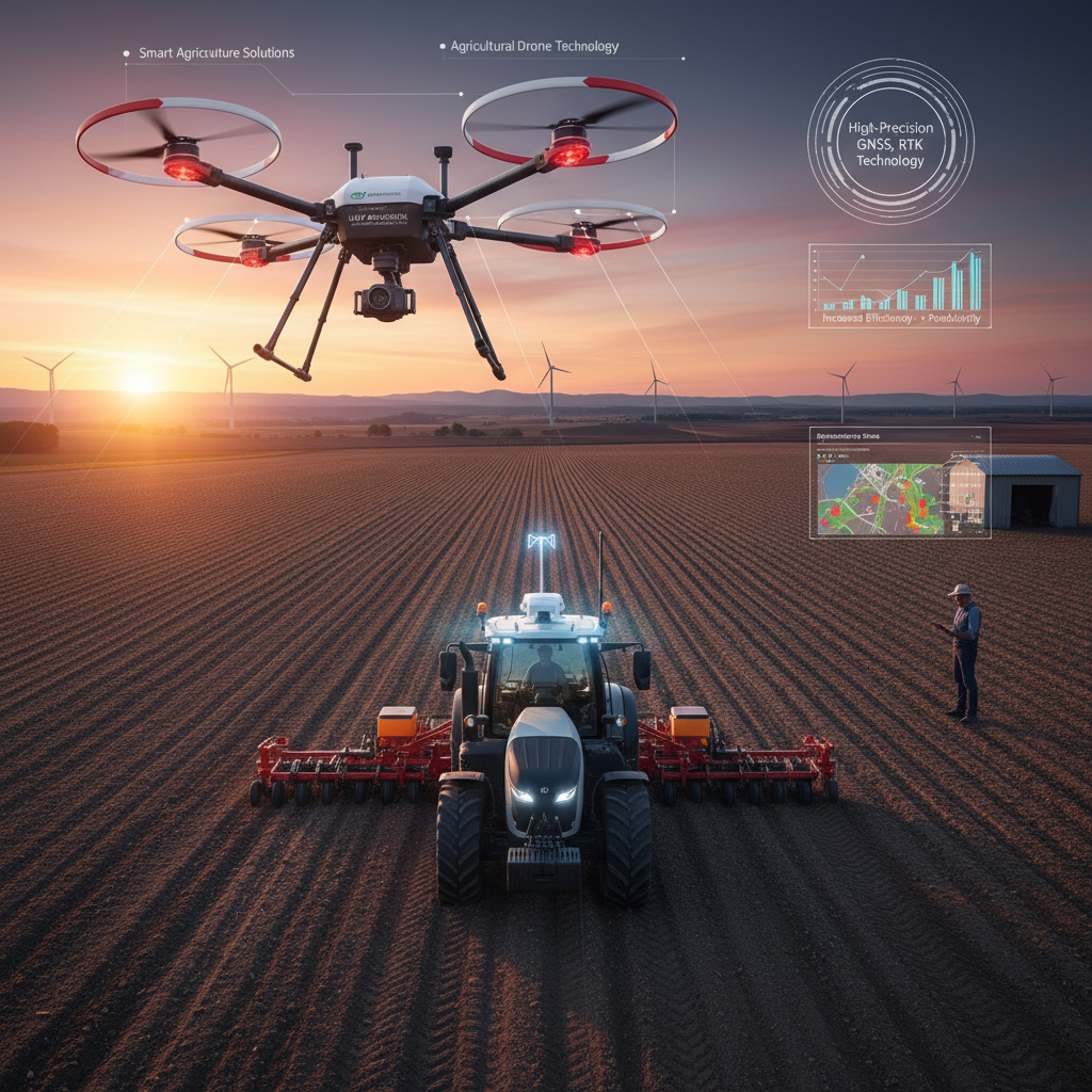
The Role of High-Precision GNSS RTK in Smart Agriculture and UAV Mapping
-
How to Choose the Best GNSS RTK Receiver for Challenging Environments in 2026?

-
OEM

-
Service Strength

-
Company Profile

-
Contact Us


English
English
French
German
Portuguese
Spanish
Russian
Japanese
Korean
Arabic
Irish
Greek
Turkish
Italian
Danish
Romanian
Indonesian
Czech
Afrikaans
Swedish
Polish
Basque
Catalan
Esperanto
Hindi
Lao
Albanian
Amharic
Armenian
Azerbaijani
Belarusian
Bengali
Bosnian
Bulgarian
Cebuano
Chichewa
Corsican
Croatian
Dutch
Estonian
Filipino
Finnish
Frisian
Galician
Georgian
Gujarati
Haitian
Hausa
Hawaiian
Hebrew
Hmong
Hungarian
Icelandic
Igbo
Javanese
Kannada
Kazakh
Khmer
Kurdish
Kyrgyz
Latin
Latvian
Lithuanian
Luxembou..
Macedonian
Malagasy
Malay
Malayalam
Maltese
Maori
Marathi
Mongolian
Burmese
Nepali
Norwegian
Pashto
Persian
Punjabi
Serbian
Sesotho
Sinhala
Slovak
Slovenian
Somali
Samoan
Scots Gaelic
Shona
Sindhi
Sundanese
Swahili
Tajik
Tamil
Telugu
Thai
Ukrainian
Urdu
Uzbek
Vietnamese
Welsh
Xhosa
Yiddish
Yoruba
Zulu
Kinyarwanda
Tatar
Oriya
Turkmen
Uyghur
请留言